Gazelle, California
Looking for the best chillin in Gazelle? We've got you covered with the top trails, trips, hiking, backpacking, camping and more around Gazelle. The detailed guides, photos, and reviews are all submitted by the Outbound community.
Top Chillin Spots in and near Gazelle
-
Gazelle, California
Hike the Fen Trail at Kangaroo Lake
The Fen Trail around Kangaroo Lake is a beautiful secluded camping and hiking area in the Klamath Forest of Northern California. It connects to the Pacific Crest Trail (PCT), where you can hike up through Oregon and Washington to Canada, or south through to Yosemite.The trailhead starts at the Ka...Read more -
McCloud, California
Gray Butte
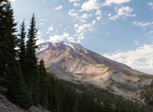
3.27 mi / 646 ft gainMount Shasta is an incredible mountain in Northern California that offers a great variety of activities. The Gray Butte trail is one of the more beautiful trails in the area, and it's not too long (2.8mi, ~2h). We arrived at Shasta by late afternoon, so it was a great hike to do when golden hour ...Read more -
McCloud, California
Panther Meadows Campground
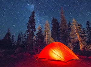
5.0The Panther Meadows Campground is located in the timberline on Mt. Shasta. The free campsite has 10 sites with a fire ring and a table. The elevation of the campground is 7,500 ft, making it the highest campground on Mt. Shasta. Summer nights can get pretty cold, so make sure to bring proper atti...Read more -
Castella, California
Hike Crags Trail to Castle Dome
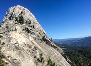
4.45.1 mi / 2135 ft gainOne of the gems in the Shasta area, Castle Crags. You can spot these dramatic granite towers from a distance and their jagged formations beckon climbers and hikers alike. Imagine a slice of the Dolomites plucked out of Italy and placed in Northern California. Crags Trail to Castle Dome winds up t...Read more -
McCloud, California
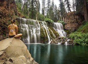
Middle McCloud Falls
4.82.49 mi / 243 ft gainJust 4 hours north of San Francisco, McCloud Falls offers a quick hike and swimming hole for those looking for something less crowded than Burney Falls. McCloud Falls has 3 tiers, but the middle section offers the best views by far. Getting Here To get here, park at the Fowlers Campground which...Read more -
McCloud, California
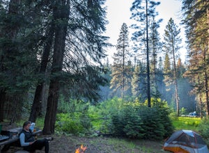
Algoma Campground
The Algoma Campsite is a free campsite along the Upper Portion of the McCloud River. It features eight sites and a pit toilet. Unlike the other campgrounds in the area, this site receives very little traffic and has no fee. To get there, take SR 89 east from the McCloud Ranger Station for 13 mi...Read more -
Siskiyou County, California
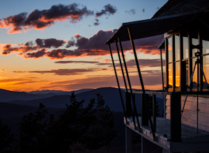
Camp Out at Little Mt. Hoffman Lookout
4.0If you've never stayed in a lookout, you should. It's not a thrilling get your adrenaline type of adventure, but more of a private, secluded, let's enjoy epic views and incredible company type of get away.Little Mt. Hoffman lookout is one of a few remaining historic lookouts that was built in the...Read more -
Trinity Center, California
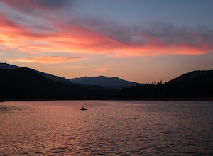
Camp at Hayward Flat on Trinity Lake
We drove all around Trinity Lake and this was the best campground we found! Located right on Trinity Lake you will find Hayward Flat Campground. From Weaverville California you will follow highway 3 north about 20 miles. Then take a right on Hayward Flat road two miles. Boom, you are there. The...Read more -
Trinity Center, California
Backpack Stuart Fork to Emerald and Sapphire Lake
25 mi / 4448 ft gainThe Stuart Fork to Emerald and Sapphire Lakes trail features many beautiful lakes, meadows, and an area that resembles a jungle. Dogs are able to use this trail. This trail can be done as a day hike, an overnight, or a three-day backpacking trip. If you choose to make it a three day, the meadows ...Read more

