Fort Bragg, California
The best Trails and Outdoor Activities in Fort Bragg, California offer a range of scenic outdoor adventures. One of the top trails is the Pomo Bluffs Park Trail. This 3.5-mile trail offers stunning views of the Pacific Ocean, cliffs, and the Noyo Harbor. It's a must-visit for those who enjoy moderate level hikes and bird watching. Another popular trail is the Glass Beach Trail. This unique beach is known for its sea glass-covered shores. Hikers can also explore the nearby MacKerricher State Park, which features a variety of habitats including beaches, dunes, and forests. For the more adventurous, there's the Ten Mile Beach Trail, a challenging 10-mile hike with panoramic ocean views. Fishing, bird-watching, and whale-watching are other popular outdoor activities in Fort Bragg.
Top Spots in and near Fort Bragg
-
Point Arena, California
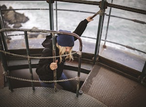
Explore the Point Arena Lighthouse
Go into the museum and gift shop first and have a look around at all the cool stuff they have from the lighthouse. Once you're done checking everything out in there, go make your way up the spiral staircase to the tippy top. You can stop just before the peak and go for a walk on the landing that ...Read more -
Point Arena, California
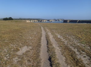
Hike Stornetta Public Lands
4.52.5 miAlong Point Arena Lighthouse Road there is an access trailhead to Stornetta Public Lands, which is part of the Bureau of Land Management system. There is a wonderful coastal trail that offers great views of the rugged coastline. From the trailhead, you will be walking south across an open field w...Read more -
Whitethorn, California
Jackass Creek via Lost Coast Trail
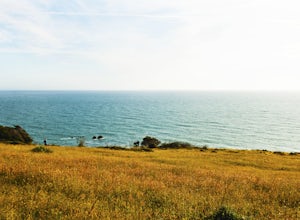
23 mi / 8071 ft gainThe Lost Coast is infamous. For its name alone draws visitors from around California and the world. A 26-mile stretch of coast, road less, with a wall like mountain range just yards from the ocean and beach. But with the Lost Coast being what it is, there is a lesser-known, yet equally stunning h...Read more -
Whitethorn, California
Chinquapin Loop on The Lost Coast
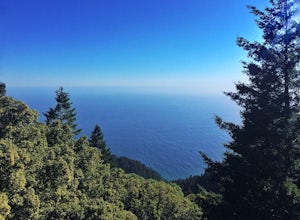
4.07.87 mi / 2159 ft gainI did this hike the day before setting out on a backpacking trip along the northern section of The Lost Coast Trail and it was a fantastic warm up hike. The Chinquapin Loop is a loop off of The Lost Coast Trail along Chemise Mountain, near the start of the southern section of the LCT. You can st...Read more -
Whitethorn, California
Black Sands Beach on the Lost Coast
5.00.5 miBlack Sands Beach and all of the Lost Coast is almost indescribable in its ruggedness and beauty. Black Sands Beach sits along the southern portion of of the famous Lost Coast Trail, and is accessible by one of the two roads that go across the King Range to the ocean. From 101 in Garberville, hea...Read more -
Whitethorn, California
King's Peak from Shelter Cove
2.030.85 mi / 6204 ft gainAfter parking at Shelter Cove and securing a camping permit ($3 per night in the backcountry) follow the bear prints down the coastline for 5 miles, keeping in mind that the tide devours the beach every 12 hours. Parts of the beach become impassable at high tide. Camp overnight at Buck Creek, th...Read more -
Lakeport, California
Camp at Red Mountain Campground
Red Mountain has 10 units, toilets, barbecue grates, and picnic tables. There is no potable water at this time.To get there, from Ukiah, exit U.S. 101 South at Talmage Road, then 1.5 miles east to Eastside Road. Turn right and proceed 0.3 mile to Mill Creek Road. Follow Mill Creek Road 5 miles to...Read more

