Foresthill, California
Looking for the best chillin in Foresthill? We've got you covered with the top trails, trips, hiking, backpacking, camping and more around Foresthill. The detailed guides, photos, and reviews are all submitted by the Outbound community.
Top Chillin Spots in and near Foresthill
-
Truckee, California
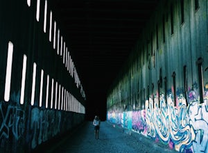
Hike the Truckee Tunnels
5.0To get here, drive along Donner Pass Rd. There is a turnoff about 100 yards away from the Donner Summit Bridge where you can park. The hike begins at a plaque for the China Wall- a large retaining wall built by Chinese railroad workers. Hike up the trail towards the tunnels. Some spots may requi...Read more -
Kyburz, California
Backpack to Smith Lake, Desolation Wilderness
5.05.6 mi / 1750 ft gainTo get to the Twin Lakes Trailhead from the Bay Area/Sacramento, head east on HWY 50 past Kyburz for 4 miles until you see the left-hand turnoff for Wrights Road. If coming westbound on HWY 50, this will be a right-hand turn 5 miles past Strawberry. Follow this paved road for 8 miles (watch for p...Read more -
Tahoma, California
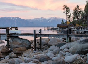
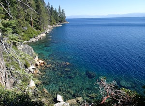
Meeks Bay
4.7Nestled along the southwest shore of Lake Tahoe, Meeks Bay is a great destination offering a blend of outdoor adventure and relaxation. With its crystal-clear waters and sandy beaches, Meeks Bay is great for swimming especially on hot summer days or after hitting the trails. Whether you're see...Read more -
Tahoe City, California
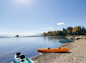
Paddle Commons Beach
5.0Commons Beach is a small beach and park on the northwest side of the lake. It is located very close to the CA-89 exit, so is ideal for road trip stops. There is a park for kids, and a grassy area near the beach. The beach itself is on the smaller side, but is relatively uncrowded. This area of th...Read more -
South Lake Tahoe, California
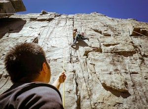
Rock Climb the 90ft. Wall
5.0Park at the Eagle Creek Canyon parking lot. If it's full, park alongside the Hwy 89, right at the entrance of the Eagle Creek Canyon parking pullout. Both parking areas fill up quickly, so if those two are full, park across the street at Emerald Bay Vikingsholm Trail parking lot. That area can fi...Read more -
South Lake Tahoe, California
Eagle Falls Vista Loop
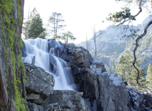
0.56 mi / 138 ft gainEagle falls is a short walk from the main Emerald Bay vista point. The top of the falls are cool to look at themselves, with great views of the lake.Read more -
South Lake Tahoe, California
Photograph Lake Tahoe’s Inspiration Point
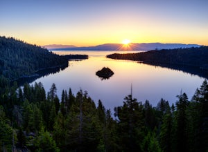
4.7Lake Tahoe’s Emerald Bay is a national natural landmark and is one of the prettiest parts of the lake. Inspiration Point is located along route 89 on the Southwest side of Tahoe about 10 miles from South Lake Tahoe or about 33 miles South from Truckee. It is very easy to get to, and its high va...Read more -
South Lake Tahoe, California
Boulder at D.L. Bliss State Park
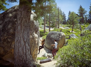
This place is bouldering heaven. Short approach to the first boulders, challenging routes for every level, good landings, and set in a beautiful area. It's like Bishop, but without the long drive.Technically you can come anytime in the season, but it is highly suggested to get a morning session i...Read more -
Carmichael, California
Hike through the Effie Yeaw Nature Preserve
4.34.48 mi / 161 ft gainDetailsEffie Yeaw Nature Preserve is named after Effie Yeaw, a teacher, conservationist and environmental educator who frequented the area on educational nature walks. She was one of the leading forces behind preserving the land now known as The American River Parkway.Effie Yeaw Nature Preserve...Read more -
South Lake Tahoe, California
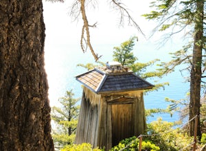
Hike the Lighthouse Trail at D.L. Bliss State Park
4.82.3 mi / 505 ft gainThe Lighthouse Trail is a 2.3 mile loop located in D.L. Bliss State Park on the lower west side of world famous Lake Tahoe. To get the trail, enter the park through the main entrance ($10 parking fee), the follow the road until you see two parking areas of the left side with about 6 or 7 spots e...Read more -
South Lake Tahoe, California
Hike the Rubicon Trail
5.07 mi / 400 ft gainThe Rubicon Trail is a through hike connecting D.L. Bliss State Park and Emerald Bay State Park. You can start at either point. I opted to start at D.L. Bliss State Park to avoid the long walk uphill to catch the Nifty Fifty shuttle. Also, there is more available parking at Bliss. Park your c...Read more -
South Lake Tahoe, California
Camp at Bayview Campground
5.0Bayview is a first come, first serve campground in South Lake Tahoe, halfway between Emerald Bay and Cascade Lake. You can catch an amazing sunrise over Emerald Bay! Large pine trees provide ample shade, and each site is equipped with a picnic table, grill, and bear boxes. Bring plenty of water -...Read more -
South Lake Tahoe, California
Cascade Falls
4.81.32 mi / 98 ft gainStarting out at the Bayview Trailhead you will make your way out through the campground towards the trail. Once you find the trail it is a simple way to the falls. It starts out as a wide trail and winds through the pine and fir trees. You will come to some stone steps as the trail narrows for th...Read more -
South Lake Tahoe, California
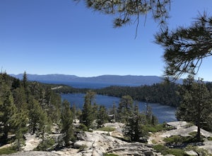
Backpack to Eagle Lake and Dick's Lake
4.513 mi / 1500 ft gainGet ready to get your lake on! This backpacking trip will take you 13+ miles through awesome scenery to several alpine lakes.Starting at the Bayview Campground, off of HWY 89, this hike follows the Granite Lake Trail along a difficult climb. Don't let the climb discourage you! As you climb, the v...Read more -
South Lake Tahoe, California
Hike to Snow Lake in Desolation Wilderness
5.05 miThis wonderful alpine lake is a relatively short hike in Desolation Wilderness and is a perfect introduction to off trail exploration. This area lacks the crowds that other lakes in Desolation garner because most maps don't show the trail leading to the lake. Although there is a rough trail, the ...Read more -
South Lake Tahoe, California
Lower, Middle, and Upper Velma Lakes
3.010.14 mi / 2316 ft gainThe hike starts at Bayview Trailhead (Latitude: 38.938619 | Longitude: -120.14197). A wooden sign points right to "Desolation" and left to Cascade Falls. Follow the sign towards Desolation. The first 3/4 mile is comprised of switch-backs that lead to a high point with a spectacular view of Lake T...Read more

