Forest, California
Looking for the best hiking in Forest? We've got you covered with the top trails, trips, hiking, backpacking, camping and more around Forest. The detailed guides, photos, and reviews are all submitted by the Outbound community.
Top Hiking Spots in and near Forest
-
Olympic Valley, California
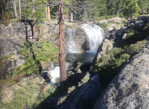
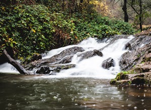
Hike the Shirley Canyon Cascades Trail
3.6 mi / 2109 ft gainThis trail has lots of elevation over a short distance, be warned! The Shirley Canyon Cascades Trail is close to Olympic Valley in the North Lake Tahoe region. Dogs are allowed on this trail if kept on leash.Read more -
Olympic Valley, California
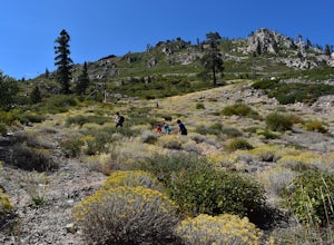
Hike the Thunder Mountain Trail
5.03.2 mi / 2000 ft gainThe Thunder Mountain Trail is the perfect hike to explore the Squaw Valley Alpine Meadows. Squaw may be famed for its mountain ski runs in the winter, but when the snow melts in the summer, beautiful alpine meadows line the mountain and the ski runs turn into hiking trails! The Thunder Mountain T...Read more -
Oroville, California
Feather River Trail Upper Section
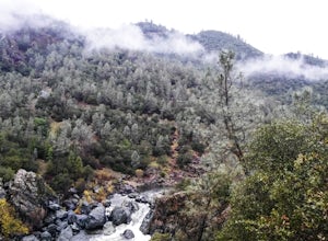
3.23 mi / 89 ft gainFeather River Trail Upper Section is an out-and-back trail that takes you by a river located near Oroville, California.Read more -
Olympic Valley, California
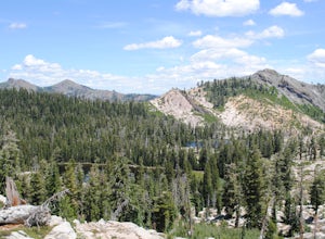
Hike to Lake Estelle and Five Lakes
6 mi / 1000 ft gainThis hike starts at Alpine Meadows Base Camp and finishes on Alpine Meadows Road. The end point is less than a half mile from the base, and an easy walk up a slight hill. Park at base camp and head on the trail to the far right of all of the lifts. Proceed up the trail for half a mile (this is th...Read more -
Auburn, California
Hike around Coon Creek to Hidden Falls
4.58.4 mi / 968 ft gain--Important: 7-day a week parking reservations required until further notice during the COVID-19 crisis. Follow park social distancing measures. Learn more online, https://www.placer.ca.gov/6106/Hidden-Falls-Regional-Park -- Not far from California's capital is Hidden Falls Regional Park. The na...Read more -
Auburn, California
Hike the Seven Pools Loop & Vista
5.04.5 mi / 450 ft gainHidden Falls Regional Park is tucked way in the foothills of the Sierra Nevada, about an hour from Sacramento and a 20 minute drive off Interstate 80 and nearby the town of Auburn. Most visitors simply make a be-line for Hidden Falls and miss one of the more breathtaking trail loops that the park...Read more -
Auburn, California
Hike to the North Fork Dam of Lake Clementine
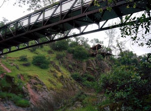
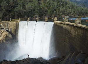
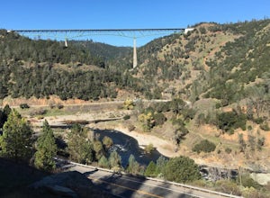
5.04 miLocated only roughly 40 minutes from Sacramento. This trail will allow you to view and walk under the 5th largest bridge in the US as well as enjoy the waterfall spectacle of a top releasing Dam. Once reaching Old Foresthill Road from the town of Auburn, drive over the smaller bridge spanning the...Read more -
Tahoe City, California
Ride Twin Peaks in Lake Tahoe's Backcountry
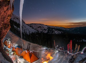
This trip is best done in two days with an approach day and then a descent day. Get started at the base of the Sherwood Chair on the backside of the Alpine ski area. Head up, outside of the ski area boundary toward the high ridge.Once on the ridge, you follow it south for a few miles until reachi...Read more -
Auburn, California
Hike Training Hill
4.54.5 mi / 1126 ft gainTraining Hill is a 4.5 mile loop trail that features beautiful meadows and wildflowers, with limited views to Folsom Lake and the Auburn canyon. The trail to Training Hill branches off from the Calcutta Falls trail right before the first cement bridge over the American River. Training Hill is r...Read more -
Auburn, California
Hike the Quarry Trail in the Auburn SRA
4.011 miParking in the Auburn State Recreation Area parking lot has a cost of $10.00. Free parking is allowed on the right side of the road located on the right after driving over the bridge. From here the Quarry Trail parking lot and Trail head are a short walking distance ahead on the left side of th...Read more -
Auburn, California
Rock Climb at the Quarry
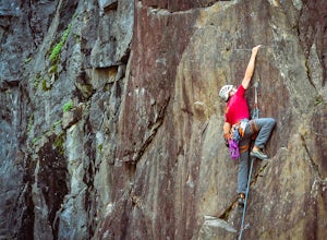
5.02.6 mi / 800 ft gainMany thanks to the Climbing Resource Advocates for Greater Sacramento (CRAGS) and the Access Fund for their hard work in re-opening this location to make it climbing-legal. Where to Park:Put in "Parking lot for the Quarry Trail, California 193, Auburn, CA 95603"This is the designated parking lot ...Read more -
Tahoe City, California
Hike the Ellis Peak Trail
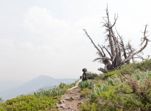
5.06.3 mi / 1660 ft gainThe Ellis Peak Trail is close to North Lake Tahoe. The trail features scenic wildflowers in the spring and summer. Dogs are allowed on the trail but must be kept on leash. Directions from Truckee: Take Highway 80 south and drive to Tahoe City - continue south on Highway 89 from Tahoe City for 4....Read more -
Tahoe City, California
Purple Trail and Burton Creek Loop
3.76 mi / 492 ft gainBurton Creek State Park is a moderate hike. It is a secluded peaceful hike that offers amazing views of the lake. This is a popular spot for mountain bikers, but is also ideal for hiking. Much of the trail is through the forest and there are many maps and signs pointing out the trails. The hike ...Read more -
Homewood, California
Eagle Rock
4.00.84 mi / 105 ft gainStarting at an outcrop off Highway 89 in Tahoe Pines, hikers make their way up the trail through a gradually sloping forest. Climbing rocks and logs, it is strenuous at times but only takes about 15-20 minutes to accomplish. Once at the top, the elevation is 6,286 feet and consists of an absolute...Read more -
Incline Village, Nevada
Quick Hike and Photo Op at Stateline
5.02 miThis quick 2-mile RT hike takes you to a lookout point above the Stateline of California and Nevada. The road to the lookout is paved so beginners can make the trek to the top in the summer; winter covers the road with snow, so snowshoes or boots are recommended. The lookout offers spectacular vi...Read more -
Incline Village, Nevada
Walk to the Historic Stateline Fire Lookout site
5.01.8 mi / 340 ft gainThe hike up to the Historic Stateline Fire Lookout above Lake Tahoe's Crystal Bay area is somewhat of a misnomer, as the fire lookout no longer exists. Instead, the path, which follows a paved forest road, up to the site where the tower once stood will bring hikers to a panoramic viewpoint that l...Read more

