Fillmore, California
Looking for the best photography in Fillmore? We've got you covered with the top trails, trips, hiking, backpacking, camping and more around Fillmore. The detailed guides, photos, and reviews are all submitted by the Outbound community.
Top Photography Spots in and near Fillmore
-
Malibu, California
Grotto Trail
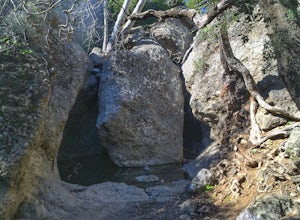
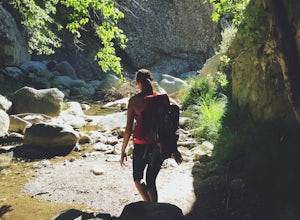
2.64 mi / 492 ft gainWho doesn't enjoy a hike that offers water, scenic views, boulder hopping and a subterranean cave? I know I do! The Grotto Trail begins at Circle X Ranch, which looks a bit like a small cowboy western store, and is approximately 6 miles from the Highway 1 (PCH). The parking is a tad tight, fittin...Read more -
Los Angeles, California
Cave of Munits
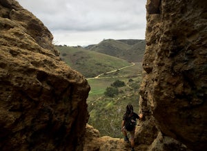
4.51.53 mi / 299 ft gainAre you looking for a hike that offers trail running, scenic views, hiking, and CAVE exploring? This short, but exciting trail leads you on a short 0.8 mile hike to the Cave of Munits. When starting at the main trailhead, El Scorpion Park, take the wide paved dirt road all the way till you get to...Read more -
Ventura County, California
Hike the Upper Las Virgenes Canyon Open Space Preserve Trail
8.6 mi / 1851 ft gainThe most popular point of entry is through the Victory Trailhead, which has ample parking. You can park on the street or you can pay $3 to park at the trailhead parking lot. You can also enter at the Upper Las Virgenes Canyon Trailhead at the northern end of Las Virgenes Canyon Road in Calabasas....Read more -
Stevenson Ranch, California
Hike the Towsley Canyon Loop
4.75.1 mi / 1340 ft gainThe Towsley Canyon Loop can be done in either a clockwise or counter-clockwise loop. The clockwise path starts with a gradual ascent through Wiley Canyon and steep descent into the Towsley Gorge while a counter-clockwise route starts with a steep climb out of Towsley Canyon and a gradual descent ...Read more -
Ojai, California
Climb at Wheeler Gorge
Grab a dozen quick draws, your 60m rope, and head up Highway 33 out of Ojai for 7 miles (One of the routes here describes the crag perfectly, a Riparian Daydream). Drive through one tunnel, and continue on for another mile or two until you reach two tunnels in quick succession. The crag is in bet...Read more -
Ventura, California
Bike the Sulphur Mountain Loop
28.6 mi / 2884 ft gainThe Sulphur Mountain Loop is a 28 mile cycling and mountain biking loop that begins in Ventura Canyon at the Sulphur Mountain Trailhead and loops through Ojai Valley. Beginning at the Sulphur Mountain Road trailhead off Highway 33, follow the road up and over Sulphur Mountain and down until it co...Read more -
Malibu, California
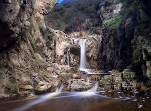
La Jolla Canyon Falls
1.75 mi / 449 ft gain...I think out of all the State Parks in the Santa Monica Mountains, Point Mugu State Park is without a doubt the best one. Maybe it has something to do with its proximity to the beach, or the endless trails and epic views, but the energy and diversity here is just so much more wild. With the par...Read more -
Malibu, California
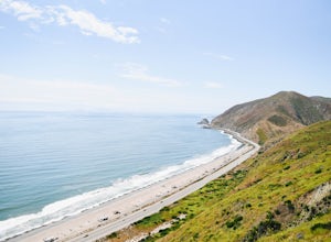
Hike Point Mugu Peak
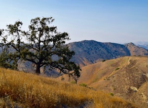
4.52 mi / 1250 ft gainPoint Mugu State Park offers some amazing rolling mountains, sweeping meadows of tall grass, and beautiful coastal views. I suggest going in the spring. I recently went, and the wildflowers were blooming everywhere. There are campgrounds available in different parts of the park that you can make ...Read more -
Malibu, California
Camp at Thornhill Broome State Beach
5.0Take PCH through Malibu towards Oxnard and the campground will be on your left. There is no day use here and you can drive right to your campsite.During the summer, make reservations or arrive really early to nab a site. Spaces can fill up quickly.There is access to a hiking trail across PCH.Read more -
Ventura, California
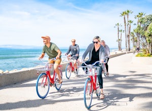
Bike the Ventura Promenade
0.5 mi / 0 ft gainThe Ventura Promenade is a .5 mile long biking and walking trail that runs from the Ventura Pier to Sufer's Point, eventually connecting to the Ventura River & Ojai Bike Trail. It is also part of the the larger "Omer Rains Trail" which runs some 3.5 miles to the south through Buenaventura Sta...Read more -
Agoura Hills, California
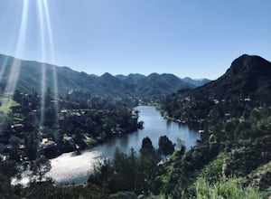
Malibu Lake Overlook
5.04.12 mi / 741 ft gainTo get to the trail, use the address 27800 Mulholland Highway, Agoura Hills, CA 91301. This will take you to a dirt pull off right off the Mulholland Highway. At the southern part of the pull off, you'll see a dirt path leading up and away from the road. This is the Cistern Trail Trailhead. You'l...Read more -
Los Angeles, California
Reseda Point
4.00.2 mi / 30 ft gainFrom the 118 FWY, exit Reseda and head north until you pass by Calle Vista Circle. Once passed, make a U-turn and park on the side of the street. Here you will find the trailhead for the Palisades Trail Hike. To get to the scenic lookout, simply walk up the short trail leading up the hill, and h...Read more -
Malibu, California
Scenic Trail
4.01.53 mi / 322 ft gainThe trailhead is located in the day use area of Point Mugu State Park. Park in the day use area parking lot. There is a parking fee of $12/day or $3/hr. From the parking lot, walk through the campground until you reach the old service road. After passing through the gate, turn left at the si...Read more -
Malibu, California
Newton & Zuma Canyon Falls
4.32 mi / -600 ft gainThree waterfalls in one short hike?!...I'll take it! That's what you'll get if you make the visit to these falls in the Santa Monica mountains in Malibu. The trailhead starts on Kanan Dume road, which is also where the Backbone trail meets. Park in the designated (free) parking area and take the ...Read more -
Malibu, California
Camp at Point Mugu's Sycamore Canyon Campground
The beach at Point Mugu State Park is just far away enough from the bustling town of Malibu and its popular beaches to feel like you are still secluded with nature. A great way to be close to the beach at Point Mugu State Park and access it easily whenever you want would be to camp at the Sycamor...Read more -
Malibu, California
Hike the Backbone East from Latigo Canyon
3.8 mi / 780 ft gainStarting in a dusty, generally empty parking lot, at about 2,000' ASL, you'll go immediately due north, up a few more feet before you drop down into another canyon covered in live oaks (and poison oak), thistles, ferns, and wildflowers. There's only one trail. It's windy, it's not hilly, it just ...Read more

