Ferndale, California
Looking for the best camping in Ferndale? We've got you covered with the top trails, trips, hiking, backpacking, camping and more around Ferndale. The detailed guides, photos, and reviews are all submitted by the Outbound community.
Top Camping Spots in and near Ferndale
-
Petrolia, California
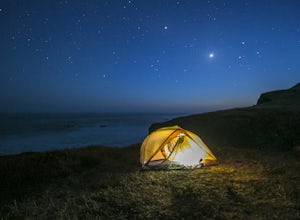
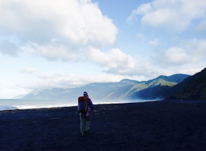
The Lost Coast: Mattole to Black Sands Beach
4.825.05 mi / 653 ft gainThis is an absolutely stunning 25 mile thru-hike on the northern part of California's coast. To accomplish this hike, you'll either need to bring 2 cars or use a shuttle service. It's recommended that you drop one car at the Shelter Cove Trailhead (40.0455053,-124.0778196) and either use one of t...Read more -
Garberville, California
King's Peak via Lightning Trailhead
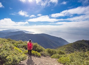
5.04.79 mi / 1942 ft gainKing's Peak is the tallest peak in the King Range, the home of the famous and spectacular "Lost Coast". At an elevation of 4,000' and less than 3 miles from the ocean, King's Peak provides stunning views in all directions: of canyons, beaches, foggy valleys, and the many greenhouses that dot the ...Read more -
Whitethorn, California
Black Sands Beach on the Lost Coast
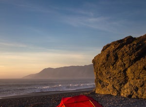
5.00.5 miBlack Sands Beach and all of the Lost Coast is almost indescribable in its ruggedness and beauty. Black Sands Beach sits along the southern portion of of the famous Lost Coast Trail, and is accessible by one of the two roads that go across the King Range to the ocean. From 101 in Garberville, hea...Read more -
Whitethorn, California
King's Peak from Shelter Cove
2.030.85 mi / 6204 ft gainAfter parking at Shelter Cove and securing a camping permit ($3 per night in the backcountry) follow the bear prints down the coastline for 5 miles, keeping in mind that the tide devours the beach every 12 hours. Parts of the beach become impassable at high tide. Camp overnight at Buck Creek, th...Read more -
Trinidad, California
Patrick's Point Trail
5.00.21 mi / 92 ft gainPatrick's Point Trail is an out-and-back trail where you may see wildflowers located near Trinidad, California.Read more -
Orick, California
Tall Trees Grove, Redwood Creek, Emerald Ridge Loop
4.44.41 mi / 1043 ft gainDay 1: Check with the Rangers station before heading up for best camping opportunities. Assuming you've checked with the rangers for approval...if there are openings, off of the main road, there are side streets with access to the beaches. Pull into one of these areas and drive down as far as you...Read more -
Humboldt County, California
Hike to Tall Trees Grove, Redwood NP
5.03.9 mi / 690 ft gainNOTE: You need a permit, albeit free, to do this hike.First, you'll need to go to the Thomas H. Kuchel Visitor Center just off Highway 101 south of Orick, CA. Once there, write down your license plate number and go up to the counter and ask one of the rangers for a permit for Tall Trees Access Ro...Read more -
Whitethorn, California
Jackass Creek via Lost Coast Trail
23 mi / 8071 ft gainThe Lost Coast is infamous. For its name alone draws visitors from around California and the world. A 26-mile stretch of coast, road less, with a wall like mountain range just yards from the ocean and beach. But with the Lost Coast being what it is, there is a lesser-known, yet equally stunning h...Read more

