Emeryville, California
The best Trails and Outdoor Activities in Emeryville, California offer a variety of top outdoor adventures. One of the must-visit attractions is the Emeryville Marina, where you can enjoy a scenic walk along the bay, with views of the San Francisco skyline and Golden Gate Bridge. The Marina also offers fishing and bird watching opportunities. The Emeryville Greenway is another popular trail that features art installations and community gardens. It's a great place for a leisurely bike ride or jog. If you're up for a bit of a challenge, head to nearby Tilden Regional Park in Berkeley. It offers more than 39 miles of hiking trails with varying levels of difficulty, stunning views, and unique natural features like Lake Anza and the Botanic Garden. These outdoor activities are a great way to enjoy the beauty of Emeryville and its surrounding areas.
Top Spots in and near Emeryville
-
Larkspur, California
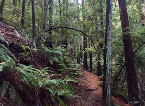
Dawn Falls Trail
4.52.29 mi / 344 ft gainTake the Dawn Falls trail down into the Baltimore Canyon for an in-depth exploration of northern California nature. Rather than the usual dry, hardy vegetation that speckles the hills of many nearby trails, this trail is bursting with lush ferns and mossy trees as it meanders along next to Larksp...Read more -
Daly City, California
Mussel Rock Loop
4.01.95 mi / 322 ft gainMussel rock, a three-story, 50 million year old rock that has been carried some 500 miles northwest from Southern California, is where the San Andreas fault meets the Pacific Ocean. It's also an excellent spot to drink some wine and catch a sunset. From San Francisco, take Highway 1 south towar...Read more -
Mill Valley, California
Canopy, Panoramic, Redwood Trail, Sun, Dipsea Trail Loop
4.74.31 mi / 1145 ft gainWhile there are other, less crowded redwood groves in the Bay Area, Muir Woods National Monument is easily one of the best. It is a beautifully maintained site, with wooden footpaths meandering between towering redwoods that are between 600 – 800 years old. It’s home to some true giants, with its...Read more -
Mill Valley, California
Temelpa Trail
4.52.94 mi / 1929 ft gainThe Mt. Tam Hill Climb via Temelpa Trail is an iconic, "best-of" climb in the trail running community, drawing some of the world's greatest athletes to experience its breathtaking views and technical downhill. Surprisingly though, outside of locals and the running community, the trail remains lar...Read more -
Walnut Creek, California
Castle Rock Trail
5.06.06 mi / 971 ft gainLocated near Walnut Creek, the trail is easily accessible from anywhere in the Bay Area. The trail is kept open year-round, and happens to be part of the American Discovery Trail and the Coast to Crest trail. If you are not done hiking, connecting trails allow you to summit Mt. Diablo. This tra...Read more -
Walnut Creek, California
Run the Mt. Diablo Foothill Loop
5.06.2 mi / 875 ft gainContinue by car down Castle Rock Road until it dead ends at the beginning of the trail. Parking is usually easy to find. If full, there is another overflow lot about 500 ft back the way you came in.You'll walk a good half mile down the trail before getting the main gate. As you're walking, you'll...Read more -
Muir Beach, California
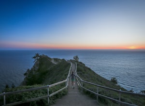
Muir Beach Overlook
4.9The Muir Beach Overlook is one of the most convenient spots to take in an amazing view of the entire coastline, and one of the best places to catch a dramatic sunset. It’s conveniently located one mile north of Muir Beach and parking is easy. It’s a 5 minute walk down the trail to the Overlook. O...Read more -
Muir Beach, California
Owl Trail
5.01.2 mi / 300 ft gainThe Owl Trail runs between Slide Ranch and the Muir Beach Overlook and is a great way to take in the breathtaking views, flora and fauna of the Northern California coast. The easiest way to access the trail is to park at the Muir Beach Overlook and to take the trail down to Slide Ranch and then...Read more -
San Rafael, California
China Camp Loop
4.09.23 mi / 1716 ft gainPark at the lot in the China Camp State Park. Hop onto the Bay View trail to gain to begin the loop trail. Switchbacks take you up to a long and easy path passing through shaded and open areas. Enjoy the grasslands speckled with oak trees and coyote brush. You can see the San Rafael bay and bridg...Read more -
Walnut Creek, California
Southern Lime Ridge Loop
4.05.57 mi / 1089 ft gainThe Southern Lime Ridge Loop is a trail system located near Walnut Creek, CA. There is a parking lot at the trailhead located across the street from the Boundary Oak Golf Course. The trail is fairly exposed with limited shade, so bring appropriate sun protection especially on the warmer days. D...Read more -
Pacifica, California
Milagra Overlook Trail
5.02.51 mi / 558 ft gainFound this hike with some friends after spending some time googling in my car when we were in the area looking for a quick hike with a view! Dog friendly Free parking (but quite limited) Ocean views Known to have gorgeous wildflower blooms (we were not there during this)Porta-potty type toilet...Read more -
San Bruno, California
Sweeney Ridge via Sneath Lane
4.53.88 mi / 646 ft gainStarting from the parking lot on Sneath Lane Trail, you’ll head through the gate and continue on the path up Sweeney Ridge. This is a 5.7 mile out-and-back trek. There is a 600 ft. elevation gain, which comes mainly in the first 1.5 miles of the trail. Your legs and lungs may hurt a bit, but if t...Read more -
Vallejo, California
Camp at Mare Island Shoreline Heritage Preserve
1 mi / 20 ft gainThis old Naval Base is now home to, well, almost nothing. As a weekend volunteer trip, myself and about 50 others got a little dirty creating 3 new campsites for you and your friends!During the day, the island has hikers exploring everywhere, but the preserve closes upon sunset and it's just you ...Read more -
Mill Valley, California
Summit of Mt. Tamalpais Loop
5.01.15 mi / 394 ft gainMt. Tam is a large park with plenty of amazing viewpoints, but the East routes and the East Peak are best for sunsets. Once you're at the top, it's an amazing spot to view a large number of Marin trails, which can help you can get a head start on planning your next adventure. At 2,570 feet, this ...Read more -
Pacifica, California
Picnic at Sharp Park Beach
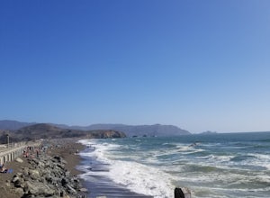
4.0A medium size beach with darker sand with big rocks and a paved path for walkers and joggers. The beach is a great place to bring a picnic and watch the sunset. It is located next to Pacifica Pier, which is popular for fishing.Read more -
Pacifica, California
Fish at Pacifica Pier
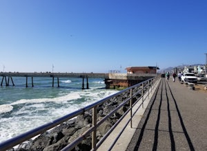
5.0This is a great place for fishing or just taking a walk to watch the sunset. It's a great place to walk or jog, or even bring a pup! There are lot of people fishing throughout the pier. A short walk away is Sharp Park Beach, where you can relax and bring a picnic to watch the sunset.Read more

