El Dorado County, California
Looking for the best photography in El Dorado County? We've got you covered with the top trails, trips, hiking, backpacking, camping and more around El Dorado County. The detailed guides, photos, and reviews are all submitted by the Outbound community.
Top Photography Spots in and near El Dorado County
-
South Lake Tahoe, California
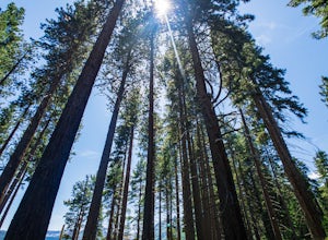
Hike the Fallen Leaf Lake Trail
5.08.1 mi / 859 ft gainThe Fallen Leaf Lake Trail is located in South Lake Tahoe, California. It is important to note that there is no trail on the east side of the lake. The trail turns into a paved road when you reach the marina after passing the campground. Additionally, lots of small trails jut out from the main tr...Read more -
South Lake Tahoe, California
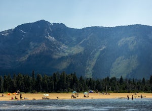
Chillin at Lake Tahoe's Kiva Beach
4.7Kiva is a secluded sandy crescent beach flanked by a beautiful meadow and mountain backdrop. This beach is rarely crowded and has free parking unlike other beaches in Tahoe. Kiva is a great place to bring dogs and is actually well known as a dog beach. Kiva is also accessible from the bike trail...Read more -
South Lake Tahoe, California
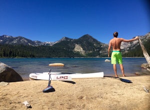
Paddle from Kiva Beach to Emerald Bay
4.0Grab your paddleboard or rent one from Baldwin Beach, and head out along the southwest shores of Lake Tahoe towards Emerald Bay. Enjoy the pristine blue water and keep your head up for the occasional osprey or bald eagle.Once you make it to the bay, there are plenty of places to go. You can relax...Read more -
South Lake Tahoe, California
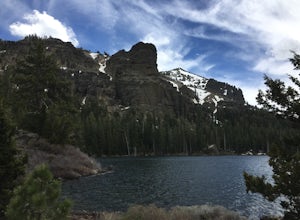
Hike to Round Lake through Big Meadow
3 mi / 1197 ft gainYou will start out at the Big Meadow trailhead at the Luther Pass parking lot. It's three miles one way. Near the end of the hike just before the lake the rock formations are prime...big trees, a crystal stream. The trail is well defined and easy going even though it's an 1100 foot gain in eleva...Read more -
Nevada City, California
Swim at Edwards Crossing on the South Yuba River
5.02.74 mi / 1302 ft gainThere are endless swimming holes on the South Yuba River the feature crystal clear water, massive granite boulders and pristine pocket beaches, particularly those lower in the foothills. Many are separated by sections of rapids, but can be reached via the growing trail system of the South Yuba Ri...Read more -
Truckee, California
The Five Lakes Hike
4.0The Five Lakes Trail is located in the Granite Chief Wilderness in between Alpine Meadows and Squaw Valley ski resorts and is easily accessible at the intersection of Alpine Meadows and Deer Park roads. The 5-mile moderate trail ascends approximately 900-1000 ft. along granite canyons and pine f...Read more -
Olympic Valley, California
Hike to Lake Estelle and Five Lakes
6 mi / 1000 ft gainThis hike starts at Alpine Meadows Base Camp and finishes on Alpine Meadows Road. The end point is less than a half mile from the base, and an easy walk up a slight hill. Park at base camp and head on the trail to the far right of all of the lifts. Proceed up the trail for half a mile (this is th...Read more -
Homewood, California
Eagle Rock
4.00.84 mi / 105 ft gainStarting at an outcrop off Highway 89 in Tahoe Pines, hikers make their way up the trail through a gradually sloping forest. Climbing rocks and logs, it is strenuous at times but only takes about 15-20 minutes to accomplish. Once at the top, the elevation is 6,286 feet and consists of an absolute...Read more -
Loch Leven Lakes Trailhead, California
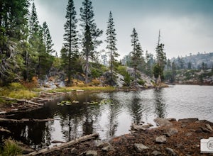
Loch Leven Lakes Trail
4.47.6 mi / 1480 ft gainThe trail is easy to follow for the first half mile until you get to some large slabs of granite. As you continue up the trail look for stacked rocks, these will give you a an easy route as you continue up the mountain. The trail then starts to switch back eventually leading to a small bridge. Af...Read more -
Galt, California
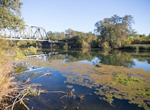
Hike the Cosumnes River Walk Trail
3.1 mi / 16 ft gainThis trail is a short, easy, accessible and beautiful trail for a nice afternoon walk (or photoshoot). I recommend the River Walk Trail (~3 miles). It is flat and easy to walk. There are multiple loops so you can turn back at any time. There are small bridges, access to the water, meadows, e...Read more -
Penn Valley, California
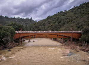
Visit the Bridgeport Covered Bridge
4.0The famed and picturesque Bridgeport Covered Bridge, spanning the width of the Yuba River, was originally built in 1862. It was an integral passage for a freight hauling route from San Fransisco to Nevada. This historic site is now protected and is no longer able to be walked or driven through as...Read more -
Olympic Valley, California
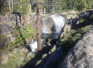
Hike the Shirley Canyon Cascades Trail
3.6 mi / 2109 ft gainThis trail has lots of elevation over a short distance, be warned! The Shirley Canyon Cascades Trail is close to Olympic Valley in the North Lake Tahoe region. Dogs are allowed on this trail if kept on leash.Read more -
Truckee, California
Backpack the Palisades Creek Trail
4.015 mi / 2200 ft gainAfter driving out to Kidd Lakes and parking at the trailhead, you take off through some easy forest hiking past Cascade Lakes and Long Lake. Pay attention to the cairns marking the trail as you traverse across a large granite section with Devils Peak to your West. The trail is easy to follow and ...Read more -
Olympic Valley, California
Hike the Thunder Mountain Trail
5.03.2 mi / 2000 ft gainThe Thunder Mountain Trail is the perfect hike to explore the Squaw Valley Alpine Meadows. Squaw may be famed for its mountain ski runs in the winter, but when the snow melts in the summer, beautiful alpine meadows line the mountain and the ski runs turn into hiking trails! The Thunder Mountain T...Read more -
South Lake Tahoe, California
Catch a Sunset at Keys Beach
Owned by the State of California, Keys Beach sits at the end of a peninsula bordered by the Tahoe Keys marina inlet to the west and the Upper Truckee River to the east. This relative isolation along with its only access being by water or a single trail keeps the beach remarkably quiet relative to...Read more -
Truckee, California
Swim at Long Lake near Truckee
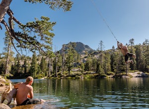
3.71.5 mi / 100 ft gainThe story goes that twenty or so years ago, long before the advent of the Royal Gorge Cross-Country Ski Area, some local Truckee boys decided to put a couple rope swings up on Long Lake near Soda Springs, CA, and they remain there to this day.Long Lake sits amongst a cluster of both man-made and ...Read more

