Dillon Beach, California
Looking for the best photography in Dillon Beach? We've got you covered with the top trails, trips, hiking, backpacking, camping and more around Dillon Beach. The detailed guides, photos, and reviews are all submitted by the Outbound community.
Top Photography Spots in and near Dillon Beach
-
San Francisco, California
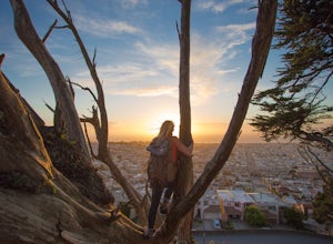
Grand View Park ("Turtle Hill")
5.00.21 mi / 7 ft gainA recipe for happiness in the "cool grey city of love." To the seasoned San Franciscan there is no finer view in the Bay Area than that from San Francisco's front porch, Turtle Hill or "Grand View Park". If the North American continent / plate is a ship, then Grand View Park is the prow giving e...Read more -
San Francisco, California
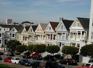
Alamo Park Square Park
4.6If you’re ever in San Francisco, you’ll definitely want to spend a bit of time in Alamo Square gazing at these stellar examples of San Francisco history. This is a beautiful and popular green space, where you have uninterrupted views of the iconic Painted Ladies. The Painted Ladies are row of...Read more -
San Francisco, California
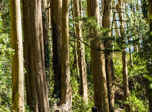
Mount Sutro Open Space Reserve Loop
4.42.14 mi / 617 ft gainThe Mount Sutro Open Space hike is one of those gems that's just hiding in plain site. Most people live in San Francisco for years without ever knowing this hike even exists - which is totally fine with us. This 2+ mile loop is an easy, quick way to get back in touch with nature after a long day....Read more -
San Francisco, California
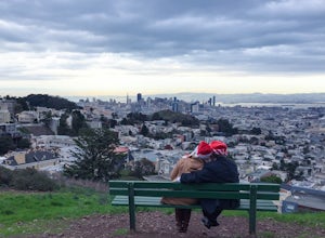
Tank Hill
4.30.14 mi / 49 ft gainLooking for a cool, under-the-radar spot that’s perfect for picnics, chilling out, and chasing the sunset? Look no further than Tank Hill. This little gem of a mini-park is 650 feet high and tucked away in Cole Valley. It’s so small that many maps of San Francisco don’t even include it. To get ...Read more -
San Francisco, California
Corona Heights Park
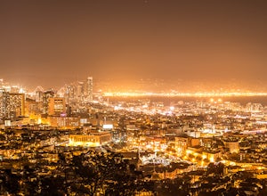
5.00.65 mi / 115 ft gainCorona Heights Park is a park located north of the Castro and South of Buena Vista Park. The peak of the hill is windy, but it offers an unobstructed panoramic view of the city of San Francisco from downtown to Twin Peaks. It is perfect for taking panoramic pictures of San Francisco at night. Y...Read more -
San Francisco, California
Catch a Sunset at Twin Peaks
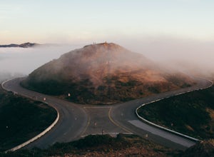
4.6Most locals have heard of Twin Peaks, so if you hop in an Uber or Taxi you should be just fine. If not or you are driving yourself, head for Twin Peaks Boulevard, then just follow it to the top. Voila!When you're there, be sure to catch a sunset, as it is absolutely breath-taking, If you are luck...Read more -
San Francisco, California
Fort Funston Trail
4.71.81 mi / 253 ft gainFort Funston is an SF gem I discovered when looking for a dog friendly hike near the city. Located west of Lake Merced, you'll find a gorgeous Northern California beach oasis where you and your dog can run wild and free :). Parking is located at the top of the park where you'll descend a steep se...Read more -
Berkeley, California
Hidden Waterfall in Codornices Park
4.00.5 miPark along the street in front of Codornices Park in Berkeley. Follow the stream to the left of the playground. Take the path up the hill to the right (don't head over the bridge on the left). Keep walking up multiple concrete stairs. After the first flight of stairs you'll see a path on the left...Read more -
Berkeley, California
Berkeley Rose Garden
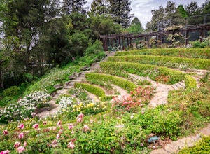
4.0I'm always surprised at how few people know of this beautiful garden. I'm often alone when I visit, which allows for perfect serenity. Visit in early spring for maximum blooms. Park on Euclid Ave, which is where you'll find the entrance to the amphitheater (you can't miss the giant sign). Spend ...Read more -
Berkeley, California
Wildcat Peak via Nimitz Way
4.74.16 mi / 459 ft gainTilden Park is a beautiful recreational area with scenic hiking trails, a swimming lake, small animal farm, a steam train and botanical gardens. The versatility of this park makes it very family and kid friendly, and those who are looking for a moderate hike within the park have almost forty mile...Read more -
San Francisco, California
Bernal Heights Park
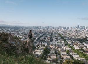
4.70.95 mi / 128 ft gainBernal Heights Park is an excellent week night adventure for those who need an escape from the city. Sit atop this small, grassy peak in peace and look out over the San Francisco skyline. Park on the street bordering the park and follow a pathway that leads up to the top. You will be instantly g...Read more -
Oakland, California
Grizzly Peak
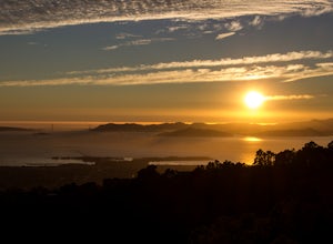
4.8A well-known sunset spot in the East Bay, and rightfully so - the views from Grizzly Peak are stunning. You have several pull-offs to pick from. The larger ones have logs to sit upon. The smaller pull-offs offer benches and sturdy rocks. Take your pick! You will share the sunset with some strang...Read more -
Daly City, California
Mussel Rock Loop
4.01.95 mi / 322 ft gainMussel rock, a three-story, 50 million year old rock that has been carried some 500 miles northwest from Southern California, is where the San Andreas fault meets the Pacific Ocean. It's also an excellent spot to drink some wine and catch a sunset. From San Francisco, take Highway 1 south towar...Read more -
Fairfield, California
Bike the Gordon Valley to Wooden Valley Scramble
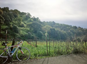
5.013.5 mi / 498 ft gainThis is a 13.5 mile loop route in Fairfield, California. The route has a total ascent of 498 feet and has a maximum elevation of 369 feet.Begin your ride at the corner of Oliver Road and Mankas Corner Road. Along Mankas Corner Road you'll pass the Napa Grass Farmer community farm and Il Fiorello ...Read more

