Desert Hot Springs, California
The best Trails and Outdoor Activities in Desert Hot Springs, California, offer a variety of scenic outdoor adventures for all fitness levels. The Pushawalla Palms Loop Trail is a top pick for hikers. This moderate 4.4-mile trail features a river and stunning rock formations. For a more challenging hike, the Big Morongo Canyon Preserve offers a 6-mile trek with bird-watching opportunities and unique desert vegetation. Nearby, Joshua Tree National Park is a must-visit with its iconic Joshua Trees and starry night skies. For a relaxing day, head to the Desert Hot Springs Spa, with its hot mineral water pools. Don't forget to visit the Cabot's Pueblo Museum for a slice of local history. Enjoy these outdoor activities and attractions in and near Desert Hot Springs.
Top Spots in and near Desert Hot Springs
-
Landers, California
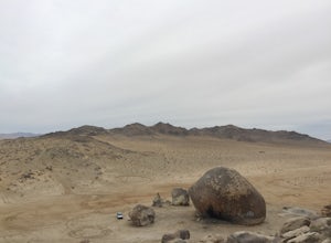
Explore Giant Rock
This is an adventure that my wife and me have been wanting to do for a while now. We finally decided to make the 30 minute journey out to Landers from Yucca Valley. There are quite a few points of interest along the way, but that is a story for another adventure.Giant Rock is 5.2 miles northwest ...Read more -
Mountain Center, California
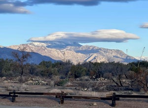
Cactus Spring Trail
31.73 mi / 6407 ft gainCactus Spring Trail is an out-and-back trail where you may see wildflowers located near Mountain Center, California.Read more -
Twentynine Palms, California
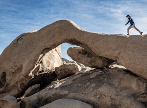
Arch Rock Nature Trail
4.31.24 mi / 92 ft gainThis is a rock formation very popular with young crowds at Joshua Tree. The views from this hike are spectacular. If you hike this trail at sunset, the gorgeous colors of the ski are reflected onto the rocks. There is a plaque along the trail detailing rock formations and facts about the parks ...Read more -
Riverside County, California
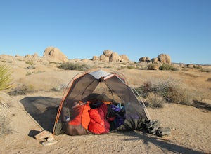
Backcountry Camp in Joshua Tree
5.02 miBackcountry camping can be done at various locations throughout the park (13 different locations). Upon arrival to the park, you will be given a map and can backcountry camp from any of the locations marked with a "B".At these locations you will find a backcountry registration board. It's extrem...Read more -
Riverside County, California
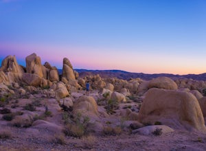
Camp at Joshua Tree's White Tank Campground
5.0White Tank Campground is in the perfect spot to get a taste of all that Joshua Tree has to offer. As a central location to nearby hiking and climbing, it is easy to access the various parts of the park. Removed from the border of the park, White Tank doesn't attract as many visitors as the more p...Read more -
Riverside County, California
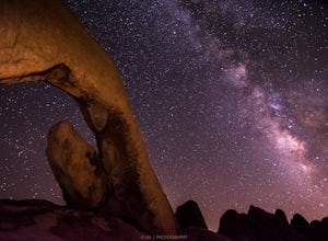
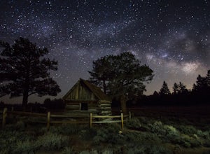
Night Shoot at Arch Rock
4.7If you're setting up camp, be sure to check out White Tank Campground, which is home to one of the most epic rock formations. The Arch is located here. It's only about 1/2 round trip of walking to this spot. Geology Tour Road offers some flat wide open views of Joshua Trees in all directions. If ...Read more -
Angelus Oaks, California
San Bernardino Peak
3.015.82 mi / 4911 ft gainThe San Bernadino Peak Trail out of Angelus Oaks is a very challenging hike, which can either be done as a day hike or an overnight trip. Free permits are required for day hiking and overnights in the San Gorgonio Wilderness. These permits can be accessed via Sgwa.org/permits. If you choose to ...Read more -
Forest Falls, California
Summit Mt. San Bernardino from Angelus Oaks
16 mi / 4775 ft gainThe trailhead is somewhat 'interesting' to get to given the dirt roads are in questionable shape and some of the roads in Angelus Oaks are not easily identifiable but I didn't have any problems finding it by closely following Google Maps. Trailhead parking requires an Adventure Pass parking pe...Read more -
Big Bear, California
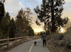
Alpine Pedal Path
5.05.08 mi / 292 ft gainAlpine Pedal Path is an out-and-back trail that takes you by a lake located near Big Bear Lake, California.Read more -
Big Bear Lake, California
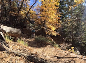
Knickerbocker Road & Pine Knot Trail
5.06.1 mi / 1007 ft gainPark at the free parking lot behind the village off Knickerbocker Rd between Village Drive and Pedder Road. Ride up Knickerbocker Rd towards the mountain. Look out for the fire service road 2N08 that veers left and uphill. The first 2 miles are challenging steep uphill, but beautiful nonetheless....Read more -
San Bernardino County, California
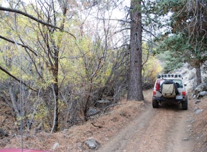
Off-Road Jacoby Canyon
2.9 miThis is now my favorite trail in the San Bernardino National Forest. Ranging from desert scenes at the bottom and pine trees at the top, you experience such high levels of outdoors feel you can't resist. This trail has so many awesome spots for camping and off-roading that it has a great mix for ...Read more -
Big Bear Lake, California
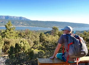
Grand View Point
6.9 mi / 1312 ft gainGrand View Point is accessed via Pine Knot Trail, a 6.5 mile out and back hiking trail located at the Aspen Glen Picnic Area, 1 mile from Big Bear Village. With its close proximity to town, Pine Knot Trail is popular in the summer with mountain bikers and the trailhead is often crowded in the win...Read more -
Big Bear, California
Cougar Crest Trail
5.05.57 mi / 892 ft gainOn the north side of Big Bear Lake, just off the 38, you will find a turn off for the Cougar Crest Trail. The parking lot is well marked, and signs for the trailhead are easy to spot. Parking is not an issue if you come in later in the afternoon, but the hike can get crowded during peak hours. Fo...Read more -
Big Bear, California
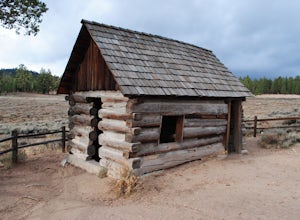
Explore Van Dusen Cabin
4.0This is a great day trip to spend in the mountains. from Highway 18 at the Big Bear Dam you turn left onto highway 38 around the north shore of Big Bear. Continue till you see the sign Van Dusen Rd and turn left. The paved road takes you through residential neighborhoods where the dirt road begin...Read more -
Big Bear, California
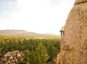
Rock Climb Holcomb Valley
5.0Most of the drive to Holcomb Valley is done on regular paved roads until about the last hour when you get above Big Bear Lake and you start your journey on dirt roads. The road is extremely bumpy and has lots of pot holes but there are generally quite a few cars up there that don't have 4 wheel d...Read more -
Big Bear, California
Holcomb Valley Campground
This campground is awesome! With great views, plenty of space and clean bathrooms it'll have you in for a treat! Whether it be a multiple day trip or just one night this campground is awesome. Read below for information if you are looking for a trip in the mountains! Cost: This campground is a ...Read more

