Del Monte Forest, California
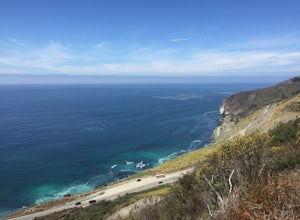
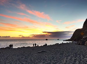
For the best trails and outdoor activities in Del Monte Forest, California, the top pick is the Cypress Point Lookout Trail. This moderate trail spans 3 miles and offers scenic views of the Pacific Ocean. The trail is lined with towering cypress trees and offers views of unique rock formations. Birdwatchers will appreciate the diverse avian species that inhabit the area. Another must-visit is the Spanish Bay Reef Trail, a 2.5-mile trail that runs along the coast, offering panoramic views of the ocean. For those interested in marine life, the tide pools along the trail are a great attraction. Remember to respect the wildlife and leave no trace. Enjoy these outdoor adventures for a memorable day in Del Monte Forest!
Top Spots in and near Del Monte Forest
-
Paicines, California
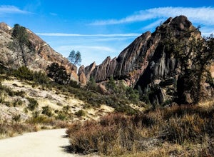
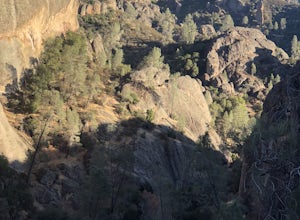
Hike the Old Pinnacle Trail in Pinnacles National Park
5.09 mi / 2000 ft gainStart at the Old Pinnacles Trailhead and embark on a roughly 9 mile long adventure surrounded by amazing geological rock formations and natural landscapes. Bask in the peace of nature... meander through meadows alongside the West Fork of Chalone Creek and into Old Pinnacles. Continuing on at the ...Read more -
Paicines, California
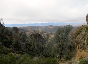
Hike the High Peaks & Balconies Cave Loop
5.08.4 mi / 1540 ft gainThis hike can begin at Old Pinnacles Trailhead (East Entrance) or Chaparral Trailhead (West Entrance) and can be hiked in either direction. This description is from Old Pinnacles Trailhead, hiking clockwise, which gets the most demanding part of the hike done first. From Old Pinnacles Trailhead w...Read more -
San Jose, California
Hike the Quicksilver Trail
4.35.1 mi / 915 ft gainThe trails are well maintained and offer good visibility. The trail can be muddy after it rains, and does not have much shade (so bring extra water in the summer). Dogs are allowed on this trail but must be kept on leash. Keep your eyes peeled for wildlife - this trail is frequently used for bir...Read more -
21600 Big Basin Way, California
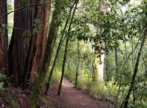
Hike the Sequoia Trail at Big Basin Redwoods SP
4.04.3 mi / 600 ft gainThis 4.3 mile hike in Big Basin Redwoods SP is a peaceful break from the hustle and bustle of everyday life. In the first half, there is a quick detour you can take to Sempervirens Falls. Just listen for sounds of water, read the signs, and cross the road. The detour itself is as far as cross...Read more -
Paicines, California
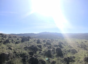
Camp in Pinnacles National Park
4.0/ 1819 ft gainPinnacles Campground is accessible from the east side of the park, and you generally lose cell service about 20 minutes before the park entrance. The campground offers tent camping, group camping, and a handful of RV sites. The tent and group sites have individual picnic tables and fire rings, an...Read more -
San Jose, California
Explore Santa Teresa County Park
4.58.3 mi / 2053 ft gainThe Santa Teresa County Park loop is perfect for wildlife viewing! Be ready to see deer, coyote, hawks, turkeys, pigs and cows. The trail is rated as moderate - be cautious with mud if you are visiting the park after a rain shower. Dogs are allowed in the park, but must be kept on leash. There i...Read more -
Pescadero, United States
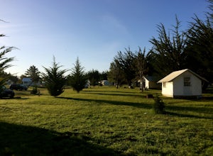
Relax at Costanoa Lodge
3.0Looking for a quick escape from the city, but sleeping on the ground isn’t really your thing? Look no further than Costanoa Lodge in Pescadero, an upscale "glamping" experience just an hour south of San Francisco with tons of hiking options. This is a really fun option for anyone who enjoys being...Read more -
Los Gatos, California
Hike Los Gatos Trail to Jones Trail Loop
3.8 mi / 511 ft gainThis trail winds its way along the Los Gatos Creek and ends at the Lexington Reservoir before looping back to the start. It is 3.8 miles and makes for a great way to get exercise and relax in nature. You can hear the creek as you hike, and can even go down to it. There is a lot of green foliage t...Read more -
Los Gatos, California
Hike the Saratoga Gap Trail
4.64.7 miThe Saratoga Gap Trail is relatively lightly trafficked trail that is good year round, although waterfalls peak in late winter and spring. Overall, this 4.7 mile partial loop hike is moderate, with about 1000 feet in elevation change. Trailhead elevation is about 3090 feet. The featured hike desc...Read more -
Saratoga, California
Skyline-to-the-Sea Trail
4.530.8 miWant to experience one of the bay area's most memorable backpacking trips? We've got the details to get you out on the trail. To start the trek, drop your car at the Castle Rock State Park Parking Lot, which is located ~2.5 miles south of the junctions of Highways 35 and 9 off of Highway 35. Not...Read more -
Saratoga, California
Backpack Castle Rock State Park
4.7Castle Rock Trail Camp has a different policy than other backcountry camps in the area (i.e. campsites along Skyline to the Sea). This campground is open all year and is available on a first come, first served basis. If you can, grab a spot a Frog Flat Camp. To get to the camp, park your car at t...Read more -
Sanborn County Park, California
Hike Sanborn County Park via the San Andreas Trail
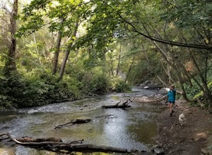
4.04.2 mi / 1282 ft gainThis is a moderately rated 4.2 mile trail that winds through the redwoods west of Saratoga. It features a dirt trail with tall trees and a creek. The hike is very tranquil and there is lot s of greenery. There are big rocks in the creek that can you can sit on. People often meditate here as i...Read more -
Big Sur, California
Goat Camp via Twitchwell Flat Use Trail
5.09.2 mi / 3852 ft gainTo find this trailhead, head down Highway 1 towards Limekiln State Park Campground. Between Lucia and Limekiln, there should be a shoulder off the side of the road to park overnight. Cross the street to the trailhead of Twitchwell Flat Use Trail. Bear in mind that there is abundant poison oak alo...Read more -
Big Sur, California
3 Branches of the Limekiln
4.01.98 mi / 696 ft gainThe Limekiln Trails offer up a moderate hike with defined trails, creek crossings, and limited elevation. From the parking area, head east under the canopy of redwoods until you get to the bridge, where there’s a kiosk marking the trail. The three branches are ~0.5 miles each, making it easy to ...Read more -
Big Sur, California
Camping at Limekiln State Park
4.3This campsite is split into two sections and is located directly below a bridge along Route 1 the Pacific Coast Highway. Be cautious turning into the park as the incline and turn are quite serious.Below the bridge are campsites located both along the tree line and tiered up along the hill. Under ...Read more -
Morgan Hill, California
Backpack to Coit Lake
5.026 miThis trail can be started from Coe Headquarters or Hunting Hollow Trailhead. The trail from Coe HQ is 2 miles longer, almost all elevation but provides beautiful views of the surrounding mountains. These directions will be starting from Coe HQ.Follow the loop around the parking area to the backpa...Read more

