Davenport, California
The best Trails and Outdoor Activities in Davenport, California, include the top-rated hiking trail, Swanton Pacific Ranch. This must-visit trail offers a moderately difficult 6-mile loop, ideal for active adults and older children. The trail winds through diverse landscapes, including lush meadows, dense forests, and past the scenic Scott Creek. Unique natural rock formations scattered along the trail add to the visual interest. For a more relaxed outdoor adventure, take a leisurely stroll along Davenport Beach, famous for its sea glass and tide pools. Nearby, the iconic Shark Fin Cove is a must-see attraction, particularly at sunset. For bird watchers, the Pigeon Point Light Station offers a chance to spot a variety of coastal birds. With these scenic outdoor adventures, Davenport is a top destination for hiking and nature exploration.
Top Spots in and near Davenport
-
San Jose, California
North Rim Trail to Eagle Rock
5.01.94 mi / 240 ft gainNorth Rim Trail to Eagle Rock is an out-and-back trail that takes you past scenic surroundings located near San Jose, California.Read more -
Del Monte Forest, California
17-Mile Drive to Carmel Road Ride
5.07.75 mi / 312 ft gain17-Mile Drive to Carmel Road Ride is a point-to-point trail where you may see wildflowers located near Carmel-by-the-Sea, California.Read more -
Carmel-by-the-Sea, California
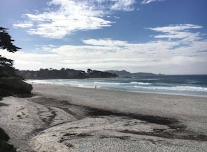
Catch a Sunset at Carmel Beach
4.7It’s a dream of mine to live in Carmel-by-the-Sea. You might recognize Carmel because Clint Eastwood was the mayor from 1986 to 1988. An idiosyncrasy you may not know about Carmel is the fact that there are no street addresses on any house in Carmel. Everyone gets their mail at the post office...Read more -
Carmel-by-the-Sea, California
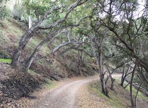
Hike along the Carmel River Beach Trail
1 mi / 100 ft gainKnown as "Ribera Beach" by locals, this stretch of land nestled between Carmel River State Beach and Monastery Beach is not to be missed! The trails are easy to get to and can be accessed by 4 locations. The first entrance is on Highway 1 at the Bay School (between Ribera Road and Monastery Beach...Read more -
Carmel-by-the-Sea, California
Surf Carmel River State Beach
5.0Carmel State beach is located in Monterey county. It's your typical beach break with both lefts and rights. One thing that is super unique about Carmel is that the water is some of the clearest in all of California. Depending on the sandbars, this can be a really fun wave! It's also a great p...Read more -
Belmont, California
Hike San Mateo's Sugarloaf Mountain
5.01.5 mi / 500 ft gainSugarloaf is tucked away in Laurelwood Park which is located in a residential neighborhood right off of Hwy 92 in San Mateo, making this a great hiking & trail running option for Peninsula residents.I always park on Glendora Dr. and follow the paved path down towards the playground. At the bo...Read more -
Carmel-by-the-Sea, California
Hike to the Top of Inspiration Point
5.01.3 mi / 850 ft gainThis magnificent trail was recently converted into part of the Monterey Regional Parks System. Walk through pastures of cows, through coast oaks, up a steep incline with vast views of Carmel Valley, Carmel and the Pacific Ocean up to the top where a picnic table awaits you at Inspiration Point. T...Read more -
Carmel-by-the-Sea, California
Whalers Cove Loop
4.31.42 mi / 253 ft gainPoint Lobos is one of the hidden gems of the California coast. Located just off of Route 1 right after Monterey, Point Lobos is a state park on the coast. The cost to explore inside is ten dollars, but so worth it. As you explore, be sure to hike around Whalers Cove, which is incredible at sunse...Read more -
San Mateo County, California
Run Sawyer Camp Trail
5.012 mi / 300 ft gainThe Sawyer Camp Trail is a popular paved trail that stretches alongside the Crystal Springs Reservoir all the way to Hillcrest Blvd. The sixth mile crosses over the San Andreas Dam with nice views of San Andreas Lake.There are markers every half mile which makes timing and tracking your run easy....Read more -
Half Moon Bay, California
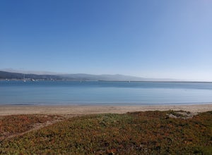
Paddle Half Moon Bay Jetty
The Half Moon Bay Jetty is a calm place to paddle as it is covered on all sides. There is an opening into the ocean on the far side, but is mostly calm with plenty of beach area to launch. Keep in mind, there are boats in the harbor so keep an eye out. There is also a scenic hike nearby the West ...Read more -
Carmel-by-the-Sea, California
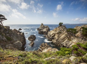
Cypress Grove Trail via South Shore Trail
5.01.72 mi / 121 ft gainCypress Grove Trail via South Shore Trail is a family-friendly loop hiking trail located near Carmel-by-the-Sea, California. Along this hike in Point Lobos State Natural Reserve, you'll get a chance to see beautiful coastal views with rugged cliffs, views across Monterey Bay, and Cypress trees as...Read more -
Carmel, California
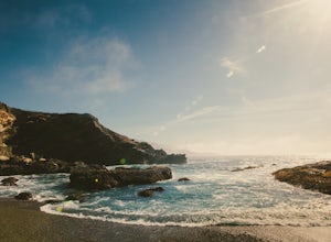
Point Lobos Natural Preserve Loop
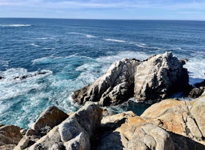
4.77.14 mi / 640 ft gainPoint Lobos contains headlands, coves and rolling meadows, and its offshore area forms one of the richest underwater habitats in the world, popular with divers. Wildlife includes seals, sea lions, sea otters, migrating gray whales (from December to May), and thousands of seabirds, who also make t...Read more -
Fremont, California
Mission Peak via Hidden Valley Trail
4.26.16 mi / 2116 ft gainBreathtaking views of the Bay Area are your reward for making this climb to the top of Mission Peak. It’s a 3-mile trek to the top of the peak and then back down the same way. This is a moderate hike that provides a nice workout – so be prepared. Park at the Stanford Avenue entrance gate. There ...Read more -
Half Moon Bay, California
Catch the Sunset at Maverick's Beach
5.01 miMaverick's beach is most well-known for the Maverick surf competition and the gnarly waves which surface here in the winter months. For the rest of the year, the beach is still a site to see. With huge waves crashing ¼ mile off shore and bluffs towering 100 feet above you, it’s a picturesque plac...Read more -
Foster City, California
Paddle the Foster City Lagoon
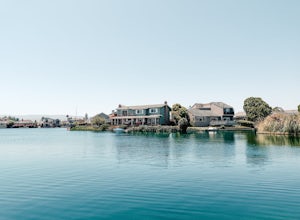
The Foster City Lagoon is one of the most calm waters to paddle on. This is a great spot for beginners to learn how to paddleboard for the first time. The lagoon gets very still and makes it the perfect spot for reflection photos. On sunny days, there are many kayakers, SUP, small boats, and ev...Read more -
Morgan Hill, California
Backpack to Coit Lake
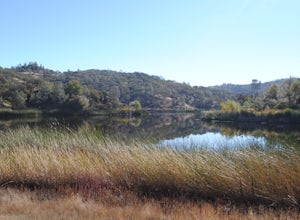
5.026 miThis trail can be started from Coe Headquarters or Hunting Hollow Trailhead. The trail from Coe HQ is 2 miles longer, almost all elevation but provides beautiful views of the surrounding mountains. These directions will be starting from Coe HQ.Follow the loop around the parking area to the backpa...Read more

