Culver City, California
Looking for the best running in Culver City? We've got you covered with the top trails, trips, hiking, backpacking, camping and more around Culver City. The detailed guides, photos, and reviews are all submitted by the Outbound community.
Top Running Spots in and near Culver City
-
Los Angeles County, California
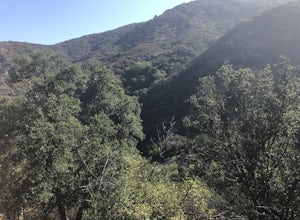
Idlehour Trail
4.014.89 mi / 4665 ft gainIdlehour Trail located near Mount Wilson, California, is an out-and-back trail that is strenuous and can take 8-10 hours if done all at once. There are opportunities to camp off the trail, making this a backpacking trail in the Angeles National Forest as well. To access the Idlehour Campground ...Read more -
Malibu, California
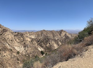
Hike the Backbone East from Latigo Canyon
3.8 mi / 780 ft gainStarting in a dusty, generally empty parking lot, at about 2,000' ASL, you'll go immediately due north, up a few more feet before you drop down into another canyon covered in live oaks (and poison oak), thistles, ferns, and wildflowers. There's only one trail. It's windy, it's not hilly, it just ...Read more -
Los Angeles County, California
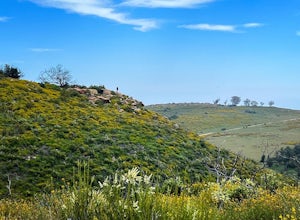
Mt. Disappointment via Billy Riley Trail
3.5 mi / 1132 ft gainFrom the 210 Freeway in La Cañada, take California Highway 2 north 14 miles up into the San Gabriel Mountains. Make sure you have your National Forest Pass (sold at REI or Ranger Station) or your Interagency Pass because they have started checking parked vehicles. At the Red Box Picnic area, make...Read more -
Arcadia, California
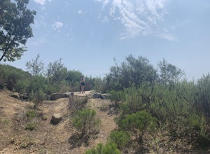
Mt. Wilson Loop from Chantry Flat
5.012.74 mi / 4852 ft gainMt. Wilson is one of the more difficult mountains in the San Gabriel to hike, making this adventure Intermediate. While 5,700 feet doesn't seem that tall, the mountain has a prominence of almost 5,300 feet, meaning that hike is steeper and longer than some of the other popular mountains that star...Read more -
Stevenson Ranch, California
Hike the Towsley Canyon Loop
4.75.1 mi / 1340 ft gainThe Towsley Canyon Loop can be done in either a clockwise or counter-clockwise loop. The clockwise path starts with a gradual ascent through Wiley Canyon and steep descent into the Towsley Gorge while a counter-clockwise route starts with a steep climb out of Towsley Canyon and a gradual descent ...Read more -
Stevenson Ranch, California
Mentryville: Pico Canyon Trail
7.07 mi / 1388 ft gainMentryville: Pico Canyon Trail is an out-and-back trail that takes you past scenic surroundings located near Stevenson Ranch, California.Read more -
Malibu, California
Ocean Overlook Loop Trail
4.02.7 mi / 397 ft gainOcean Overlook Loop Trail is a loop trail where you may see beautiful wildflowers located near Malibu, California.Read more -
Huntington Beach, California
Bolsa Chica Ecological Reserve Trail
4.72.97 mi / 30 ft gainThe Bolsa Chica Ecological Reserve Trail is great for birding and wildlife viewing. If you want a longer hike, you can extend the mileage by heading down the riverbed trail. The trail is open year-round. Dogs are not allowed in Bolsa Chica. Bolsa Chica State Beach is easily accessible from Oran...Read more -
Malibu, California
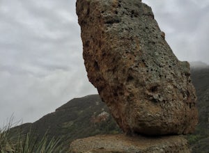
Balanced Rock via Sandstone Trailhead
5.04.36 mi / 1125 ft gain...From the PCH, make a left turn on Yerba Buena road (turn right if you're coming South) for about 6 miles until you get to the dirt parking area. If the lot is full, there's extra parking on the side of the road. FYI, Balanced Rock can also be accessed by starting at the Mishe Mokwa trailhead,...Read more -
12869 Yerba Buena Road, California
Mishe Mokwa Trail to Sandstone Peak
5.07.06 mi / 1755 ft gainTake Yerba Buena road to the trailhead. It is less zigzagged and shorter distance from PCH. Parking is easy provided that you start early in the morning. If the lot is full, you can always park on the side of the road. Bathroom is available at Sandstone Peak Trailhead parking lot, just 0.8 miles ...Read more -
Pearblossom, California
Cooper Canyon Trail Camp
5.37 mi / 1214 ft gainThere's a small parking lot just below Cloudburst Summit on the way to Mount Waterman. Start your adventure there. I'd be hard-pressed to say it's more than 15 yards from the sign for the summit (7018' AMSL). There's a fire road, if you're newer to altitude and don't know how to read a map (or e...Read more -
La Verne, California
Marshall Canyon Trail
4.05.99 mi / 722 ft gainFor this adventure you can choose to start in a multiple of places; for the easiest parking use Oak Mesa Park located next to Oak Mesa Elementary School. From the parking lot cross the soccer field towards the bridge on the north east end of the school. Once across the bridge follow Los Robles ea...Read more -
Santa Clarita, California
Hike to Saint Francis Dam Disaster National Monument
3.2 mi / 153 ft gainThe Saint Francis Dam Disaster National Monument, established in 2019, memorializes the site where the Saint Francis Dam, built by famed engineer William Mulholland, collapsed in 1929, tragically killing more than 400 people in the middle of the night as a 150+ foot wave of water crashed through ...Read more -
Anaheim, California
Oak Canyon Bluebird and Wren Trail
1.42 mi / 187 ft gainThe Oak Canyon Bluebird and Wren Trail features beautiful wildflowers and is accessible year-round. The trail is well kept and offers lots of shady spots. The first portion of this hike will take you up a hill, and then to a fork. One direction will take you around a reservoir and another will ta...Read more -
Newport Beach, California
Newport Beach Back Bay Trail
4.010.62 mi / 499 ft gainThe Newport Beach Back Bay Trail features beautiful wildflowers and is open for use year round. Very minimal elevation gain makes this hike food for all skill levels, but be mindful of the distance. Dogs are allowed on the trail but must be kept on leash. Cooling sea breezes make this one of th...Read more -
Claremont, California
Claremont Wilderness Loop
4.85.03 mi / 1020 ft gainDrive to the top of Mills Ave in Claremont. There is a main parking area to the left and overflow parking a block south on the right. It costs $3 to park for 4hrs. As the name implies, the Wilderness Loop is a loop that connects to other trails in the Claremont Hills Wilderness. You can choose t...Read more


