Coleville, California
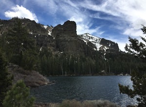
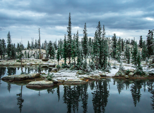
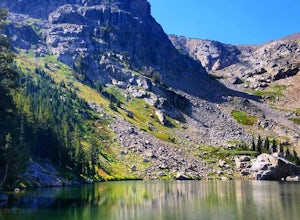
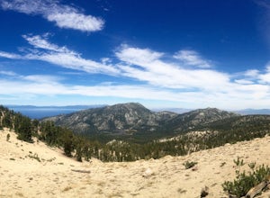
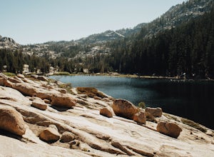
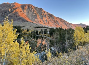
Top on the list of the best trails and outdoor activities in Coleville, California is the scenic Leavitt Meadows Trailhead. This trail offers a moderate difficulty level, making it suitable for both beginners and seasoned hikers. It features the West Walker River, where visitors can enjoy fishing and picnicking. The trail also passes by Roosevelt and Lane Lakes, offering stunning views and opportunities for bird watching. For a more challenging hike, the nearby Sonora Pass provides a steep trail with unique rock formations and sweeping views of the Sierra Nevada mountains. These must-visit outdoor adventures in and near Coleville are perfect for those seeking a mix of relaxation and physical activity.
Top Spots in and near Coleville
-
South Lake Tahoe, California
Tahoe Rim Trail (TRT): Big Meadow to Echo Summit
17.51 mi / 2949 ft gainTahoe Rim Trail (TRT): Big Meadow to Echo Summit is a point-to-point trail that takes you by a lake located near South Lake Tahoe, California.Read more -
South Lake Tahoe, California
Hike to Round Lake through Big Meadow
3 mi / 1197 ft gainYou will start out at the Big Meadow trailhead at the Luther Pass parking lot. It's three miles one way. Near the end of the hike just before the lake the rock formations are prime...big trees, a crystal stream. The trail is well defined and easy going even though it's an 1100 foot gain in eleva...Read more -
Tuolumne County, California
Backpack Chewing Gum Lake
3.34.5 mi / 1000 ft gainChewing Gum Lakes is located in Emigrant Wilderness, South of Lake Tahoe and North of Yosemite, with stunning valley views and gorgeous granite faces, peaking through the tree lines of the Stanislaus National Forest. Sitting just north of Yosemite allows you to take in a portion of the beauty of ...Read more -
Tuolumne County, California
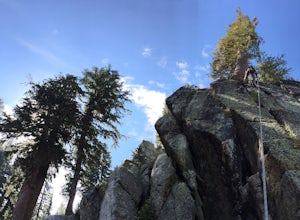
Climb Cracks at the Gianelli Edges
We first found the Gianelli Edges mentioned in the Climbers Guide to the Sonora Pass Highway. A short 2.5-3 hour drive from our place in Oakland, it's a great spot for a quick single day or overnight climbing excursion. Just head out 120 toward Yosemite and pull off on the 108 toward Burst Rock/G...Read more -
Mono County, California
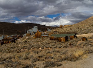
Explore Bodie's Ghost Town
5.0Bodie exploded as a gold mining town in 1876, after the discovery of gold ore. It is estimated that Bodie produced over $34 million worth of gold over the years. The town was finally abandoned in 1942.While driving on 395, turn onto 270 and follow it 17 mi to the ghost town of Bodie. The last thr...Read more -
Markleeville, California
Caples Lake to Emigrant Lake
5.08.71 mi / 971 ft gainThis is an awesome out-and-back hike for the weekend warrior. The trail begins at the western-most point of Caples Lake, and takes you to Emigrant Lake. The first 2/3 of the trail is rather flat and appropriate for all skill levels. The last mile up to the lake schleps up the hill, and has some ...Read more -
South Lake Tahoe, California
Bike to Star Lake
5.021 mi / 2300 ft gainStart out at the top of Corral Loop, in South Lake Tahoe, and begin the climb up Armstrong Pass. After the 4 mile ride up, you reach the split to either Mr. Toads or Star Lake. Continue another 2.5 miles up the steep and sandy climb to the saddle just below Freel Peak, the tallest peak in the bas...Read more -
Pinecrest, California
Backpack to Bear Lake (Emigrant Wilderness)
4.58.34 mi / 705 ft gainStart by picking up your wilderness permit at the Summit Ranger Station near Pinecrest - (209) 965-3434. There's no quota for this area, so no need for reservations in advance. To reach the trailhead, make your way south from the Ranger Station and turn left onto Crabtree Rd. Drive along this ro...Read more -
Bridgeport, California
Virginia Lakes Trail
4.09.22 mi / 2464 ft gainIf you are looking for a hike with a view every half mile or so, then Virginia Lakes Trail is one to mark on your must-see list. You start at the parking lot near the first lake where bathrooms are available onsite. Try to hike right before the first snow in November so you can see the fall col...Read more -
Pioneer, California
Hike to Granite Lake
Take the road to Kit Carson Lodge. When the road turns to dirt, take this one-lane dirt road as far as you can go. The road terminates into a round parking area, however, as of the writing of this post, there was a large tree blocking the road about 250 ft before the end.The Trailhead is clearly ...Read more -
Bridgeport, California
Snowshoe to Cooney Lake
3.5 miWhen it's winter time, one of the best things you can do is experience the snow in the Eastern Sierra! If you've ever been hiking and/or backpacking in the Sierra, you know it's one of the most beautiful mountainous ranges in the US. Driving up the Hwy 395 North past Conway Summit, turn left on ...Read more -
Lee Vining, California
Backpack Virginia Lakes to Green Creek
10.5 mi / 1234 ft gainKeep in mind that this is a point to point hike, so you will need to park a vehicle at Green Creek trailhead in Bridgeport as well as your start point at Virginia Lakes Resort.Starting at 9,886' at The Virginia Lakes Trailhead, you will begin by heading Northwest towards Virginia Pass. During yo...Read more -
Amador County, California
Hike to Thunder Mountain at Carson Pass
7 miThe trailhead begins on Rt 88 just past Kirkwood Resort or Silver Lake - depending on which way you are headed. There is plenty of parking but no other amenities. The trail begins at 7,900 ft and climbs steadily up Two Sentinels then along the ridge to Martins Point, ending at the 9,408ft summit ...Read more -
Pioneer, California
Camping at The Pots
4.2This fantastic camping or chilling spot has beautiful granite pools and slides of all sizes. The area consists of a river flowing over a granite slab creating pools some of which are over ten feet deep. The water cascades down the granite in small water falls. The area is located next to Silver L...Read more -
Echo Lake, California
Hike the Echo Lake Trail
4.05 mi / 688 ft gainThe Echo Lakes Trail goes through California's Desolation Wilderness and features incredible views. This trail is rated as moderate, and is best for excited beginners or intermediate hikers. This hike takes roughly 3.5-4 hours. Dogs are allowed on trail if kept on leash. The trail is best used fr...Read more -
South Lake Tahoe, California
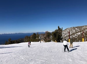
Ski or Snowboard Heavenly
5.0One of the more beautiful resorts in Lake Tahoe to go snowboarding and skiing. Heavenly is situated in South Lake Tahoe on the border of California and Nevada. This ski resort has an amazing view of the lake while going down, as well as one of the largest total areas to ski in Lake Tahoe. This ...Read more


