Carpinteria, California
The best Trails and Outdoor Activities in Carpinteria, California, offer scenic outdoor adventures that are a must-visit. The Franklin Trail is a top choice for hikers, with its moderate difficulty level, and spectacular views of the Pacific Ocean and Santa Ynez Mountains. Along the trail, you'll pass through lush avocado orchards, and spot various bird species. For a more relaxed activity, visit Carpinteria State Beach, known for its tide pools and seal rookery. For those interested in history, the Carpinteria Valley Museum of History provides an outdoor walking tour of the town's historical sites. Lastly, the Carpinteria Salt Marsh Reserve offers a unique opportunity to explore a coastal estuary. These attractions make Carpinteria a great destination for outdoor adventures.
Top Spots in and near Carpinteria
-
Thousand Oaks, California
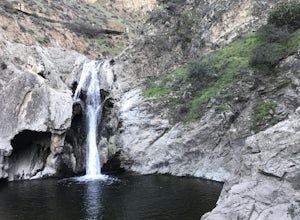
Paradise Falls Loop
4.32.26 mi / 300 ft gainThe hike to Paradise Falls is about 1.5 miles one way with around 300 feet elevation change. Take it easy starting the hike because the real challenge is the change in elevation going back to your car since you'll be going uphill. At the trailhead, follow the signs indicating the location of Para...Read more -
Thousand Oaks, California
Hiking Wildwood Regional Park
3.8Wildwood Regional Park is open year-round, easily accessible, and offers great routes for hiking, running, biking, and even horseback riding. There are also two waterfalls inside the park—the larger of the two, Paradise Falls, cascades 40 feet into a large pool. To catch some beautiful views of t...Read more -
Gaviota, California
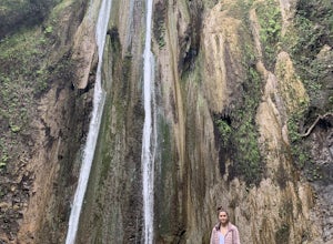
Nojoqui Falls
4.50.84 mi / 328 ft gainUnfortunately, the falls have been inaccessible for a while due to dangerous conditions from a mudslide. Contact the County of Santa Barbara Parks Division for more information. The falls are a great daytime getaway. Granted it's a quick, short hike, so you won't get the same workout or sweat go...Read more -
Malibu, California
Grotto Trail
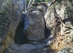
2.64 mi / 492 ft gainWho doesn't enjoy a hike that offers water, scenic views, boulder hopping and a subterranean cave? I know I do! The Grotto Trail begins at Circle X Ranch, which looks a bit like a small cowboy western store, and is approximately 6 miles from the Highway 1 (PCH). The parking is a tad tight, fittin...Read more -
12869 Yerba Buena Road, California
Mishe Mokwa Trail to Sandstone Peak
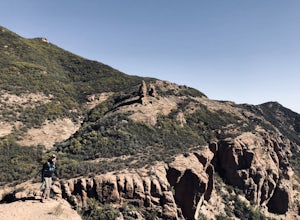
5.07.06 mi / 1755 ft gainTake Yerba Buena road to the trailhead. It is less zigzagged and shorter distance from PCH. Parking is easy provided that you start early in the morning. If the lot is full, you can always park on the side of the road. Bathroom is available at Sandstone Peak Trailhead parking lot, just 0.8 miles ...Read more -
Malibu, California
Sandstone Peak
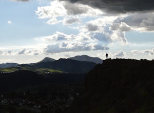
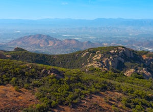
4.83.03 mi / 971 ft gainIf you live in Los Angeles, Sandstone Peak is a must! The hike to the summit can be done on a 2 mile hike up and back on Sandstone Peak Trail, or a 6.5 mile hike up and back on Backbone Trail. The shorter trail is more popular, yet both are equally rewarding. You won't believe the views from the...Read more -
Malibu, California
Balanced Rock via Sandstone Trailhead
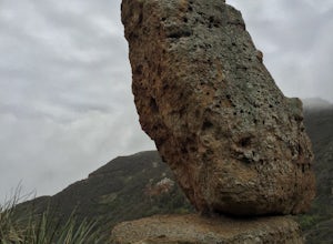
5.04.36 mi / 1125 ft gain...From the PCH, make a left turn on Yerba Buena road (turn right if you're coming South) for about 6 miles until you get to the dirt parking area. If the lot is full, there's extra parking on the side of the road. FYI, Balanced Rock can also be accessed by starting at the Mishe Mokwa trailhead,...Read more -
Westlake Village, California
Climb at Echo Cliffs
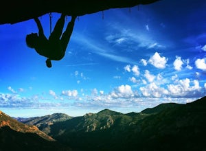
1.3 miThe hike to the crag is about 1.3 miles one way and takes roughly 45 minutes. The approach starts at the Backbone / Mishe Mokwa trail head off Yerba Buena Rd. After walking a couple minutes you'll see a sign pointing left for the backbone trail or straight for Mishe Mokwa. Continue straight and ...Read more -
Solvang, California
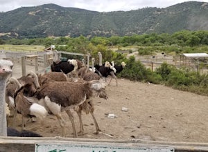
Roam Ostrichland USA
Enjoy meeting ostriches and emus alike! Located just outside of Solvang, near Santa Barbara, you get the chance to stroll through a farm and feed the ostriches and emus. Entrance is free, but there is a fee to feed them. There are scenic hills and flowers all around the farm. This is a great ...Read more -
Santa Barbara County, California
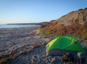
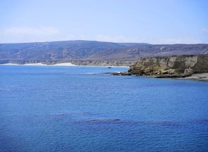
Beach Camp on Santa Rosa Island
5.019.72 mi / 3097 ft gainChannel Islands National Park is California's least visited National Park. If you visit, you will see many unique plants and animals, including a rare native fox species, and Torrey Pines, only found here and in a small grove near San Diego. This adventure is not for the inexperienced. There is ...Read more -
Santa Barbara County, California
Water Canyon Campground
3.28 mi / 128 ft gainYou can get a wonderfully detailed description of what to expect from the Channel Islands/Santa Rosa Island and how to get there from fellow Explorer Michael Wigle's "Beach Camp on Santa Rosa Island" adventure (which I highly recommend you check out for the information and the photography, so I'm...Read more -
Gaviota, California
Camp at Gaviota State Park
3.5About 30 miles north of Santa Barbara on the 101 is a small state beach in the 90 person town of Gaviota. Most people pass right on through to San Luis Obispo or don't even make it past Goleta, but this gem is worth checking out either for a day trip or to camp for the weekend.Since it is a state...Read more -
Gaviota, California
Gaviota Wind Caves
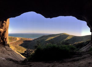
5.02.37 mi / 577 ft gainCaves and epic views...need I say more?! That's what you'll encounter on this short 2.5 mile out and back hike to the Gaviota Wind Caves in the San Ynez Mountains, West of Santa Barbara. The Gaviota Wind Caves are a sandstone formation located 1 mile from the Pacific Ocean. One good thing about t...Read more -
Malibu, California
Leo Carillo State Beach
4.5Leo Carrillo State Park has 1.5 miles of two sandy beach areas, tide pools, and numerous coves and sea caves. This year-round paradise offers privacy and ocean access for anglers, divers, surfers, wildlife watchers, beachcombers, and campers. If you're headed here for day-use, there are also tide...Read more -
Santa Barbara County, California
Torrey Pines Trail
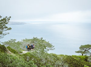
4.71 mi / 584 ft gainThe vast diversity of terrain of Santa Rosa Island in the Channel Islands National Park is matched in uniqueness only by its own flora and fauna, in particular the endangered and endemic Torrey Pine. The best way to view and experience these strange, broad trees is via the Torrey Pines Trail, whi...Read more -
Santa Barbara County, California
Lobo Canyon Trail via Santa Rosa Campground
12.03 mi / 984 ft gainThe National Park Service describes this hike in the following: "Strenuous. A spectacular canyon with wind- and water-sculpted sandstone cliffs, a year-round stream, riparian vegetation, and a spectacular coast at its mouth. Well worth the effort." I couldn't agree more with the last sentence...Read more

