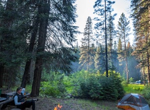
Callahan, California
Looking for the best photography in Callahan? We've got you covered with the top trails, trips, hiking, backpacking, camping and more around Callahan. The detailed guides, photos, and reviews are all submitted by the Outbound community.
Top Photography Spots in and near Callahan
-
McCloud, California
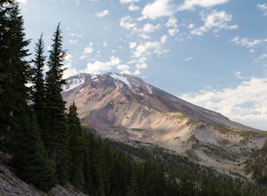
Gray Butte
3.27 mi / 646 ft gainMount Shasta is an incredible mountain in Northern California that offers a great variety of activities. The Gray Butte trail is one of the more beautiful trails in the area, and it's not too long (2.8mi, ~2h). We arrived at Shasta by late afternoon, so it was a great hike to do when golden hour ...Read more -
Junction City, California
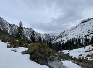
Canyon Creek Lakes
4.314.35 mi / 2605 ft gainNumerous starting points with over 550 miles of trail and easily 50+ different featured trails depending on length and what type of activity you are are looking for. One of the more popular trails, and rightfully so, is Canyon Creek Lakes Trail. This 16 mile roundtrip hike has an overall elevatio...Read more -
Trinity Center, California
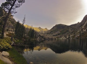
Backpack Stuart Fork to Emerald and Sapphire Lake
25 mi / 4448 ft gainThe Stuart Fork to Emerald and Sapphire Lakes trail features many beautiful lakes, meadows, and an area that resembles a jungle. Dogs are able to use this trail. This trail can be done as a day hike, an overnight, or a three-day backpacking trip. If you choose to make it a three day, the meadows ...Read more -
McCloud, California
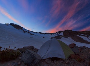
Mt. Shasta via Clear Creek Route
11.43 mi / 7615 ft gainThe least technical route to the summit of Mt Shasta begins at the Clear Creek Trailhead (elevation 6390 ft). Please note that although this is a less technical route, this is still dangerous and there have been deaths on Mt. Shasta because of falling rock. To start this, you should be a good hik...Read more -
McCloud, California
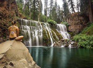
Middle McCloud Falls
4.82.49 mi / 243 ft gainJust 4 hours north of San Francisco, McCloud Falls offers a quick hike and swimming hole for those looking for something less crowded than Burney Falls. McCloud Falls has 3 tiers, but the middle section offers the best views by far. Getting Here To get here, park at the Fowlers Campground which...Read more -
Junction City, California
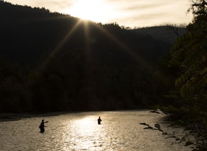
Fly Fish the Trinity River
The Trinity River is one that is rarely visited by your typical Bay Area resident. In fact, much of true Northern California is "untouched" in the eyes of those who live in The City, which is what drew me to this place to begin with. After a five hour journey from San Francisco, we made it to our...Read more -
Redding, California
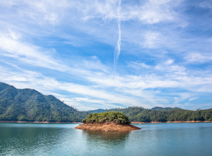
Houseboat Lake Shasta
1 mi / 1 ft gainLake Shasta sits at the foot of infamous Mt Shasta, past the major Northern California city of Redding. From the Bay Area you can count on at least a 3.5 hour drive to get to waters edge, but the drive goes by quickly just cruising on HWY 5. There are multiple Marinas on Shasta but the largest is...Read more -
French Gulch, California
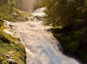
Hike to Whiskeytown Falls in Whiskeytown National Recreation Area
2.8 mi / 787 ft gainComing from Redding pass the visitor center and heading down highway 299. Make a left turn on Crystal Creek Road. Drive about 3.75 miles and on your left will be the Mills Creek Trailhead. Start hiking. You will start headed downhill towards the creek. You will cross Crystal Creek on a footbridge...Read more -
McCloud, California
Algoma Campground
The Algoma Campsite is a free campsite along the Upper Portion of the McCloud River. It features eight sites and a pit toilet. Unlike the other campgrounds in the area, this site receives very little traffic and has no fee. To get there, take SR 89 east from the McCloud Ranger Station for 13 mi...Read more

