Cabazon, California
Explore the top outdoor adventures in Cabazon, California, with the best trails and outdoor activities. A must-visit is the Pacific Crest Trail, a challenging yet rewarding hike that offers scenic views of the San Jacinto Mountains and the Whitewater River. Along the trail, you'll come across unique rock formations and a diverse range of flora and fauna. If you're seeking a less strenuous activity, try fishing in the Whitewater River, known for its abundant trout population. Near Cabazon, you'll find the Coachella Valley Preserve, home to the Thousand Palms Oasis. This oasis is a refreshing spot to relax and enjoy the sight of native palm trees and local wildlife. Whether you're hiking or simply enjoying the outdoors, Cabazon offers a variety of attractions for all.
Top Spots in and near Cabazon
-
Lake Elsinore, California
Hike Bear Canyon Trail to Sitton Peak
6.4 mi / 2200 ft gainA MUST hike for any orange country resident! The hike starts of off Ortega HWY 74 at the Bear Canyon Trail head on the same side of the road as the Ortega oaks candy store. Its recommended you park in the lot across the street from the trail head (tip:there is a working water spicket in the parki...Read more -
Lake Elsinore, California
Sitton Peak
9.36 mi / 2011 ft gainIt's amazing what you can find in your own backyard if you really do you research. In Orange County there are so many awesome hiking options that are often overlooked. The Bear Canyon to Sitton Peak Trail in the San Mateo Wilderness is one of those. Sitton tops out at 3,273 feet and it's a 5 mil...Read more -
Twentynine Palms, California
Split Rock Loop
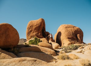
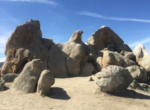
5.01.94 mi / 220 ft gainStarting out at the Split Rock Trail parking lot, you'll see Split Rock, which might be the most visited boulder in the park. Everyone makes a visit to it and while it is absolutely amazing, it's great to take the hour or two to wander around to more amazing scenery. Immediately upon starting t...Read more -
Lytle Creek, California
Old CC Spur Trail via Big Tree Cucamonga Rd
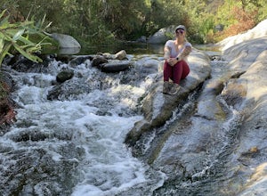
5.11 mi / 1138 ft gainOld CC Spur Trail via Big Tree Cucamonga Rd is an out-and-back trail that takes you by a waterfall located near Fontana, California.Read more -
Fallbrook, California
Hike the Santa Margarita River Trail
5.05 mi / 469 ft gainSanta Margarita River Trail is a 5 mile out-and-back hike that takes you near the river in Fallbrook, CA. This trail provides some shade which is helpful on hot days. If you bring your swimsuit you can hop in for a dip on hotter days. Make sure you wear good hiking shoes due to some rocky terrai...Read more -
Twentynine Palms, California
Arch Rock Nature Trail
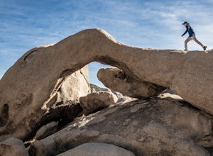
4.31.24 mi / 92 ft gainThis is a rock formation very popular with young crowds at Joshua Tree. The views from this hike are spectacular. If you hike this trail at sunset, the gorgeous colors of the ski are reflected onto the rocks. There is a plaque along the trail detailing rock formations and facts about the parks ...Read more -
Riverside County, California
Backcountry Camp in Joshua Tree
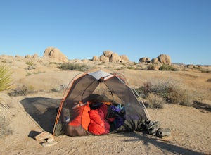
5.02 miBackcountry camping can be done at various locations throughout the park (13 different locations). Upon arrival to the park, you will be given a map and can backcountry camp from any of the locations marked with a "B".At these locations you will find a backcountry registration board. It's extrem...Read more -
Riverside County, California
Camp at Joshua Tree's White Tank Campground
5.0White Tank Campground is in the perfect spot to get a taste of all that Joshua Tree has to offer. As a central location to nearby hiking and climbing, it is easy to access the various parts of the park. Removed from the border of the park, White Tank doesn't attract as many visitors as the more p...Read more -
Riverside County, California
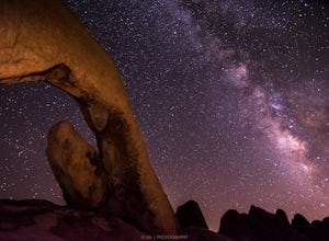
Night Shoot at Arch Rock
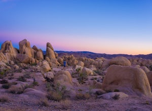
4.7If you're setting up camp, be sure to check out White Tank Campground, which is home to one of the most epic rock formations. The Arch is located here. It's only about 1/2 round trip of walking to this spot. Geology Tour Road offers some flat wide open views of Joshua Trees in all directions. If ...Read more -
Corona, California
Hike to Santiago Peak via Holy Jim
5.015 mi / 4500 ft gainWhen you think of Orange County, you think of beaches, boardwalks, but what you may not know is that there are some great hikes in our very own backyard! My favorite is a fairly strenuous day hiking adventure that only the strong survive. Not to dissuade any interested parties, since this is a ...Read more -
Corona, California
Hike to Holy Jim Falls
3.02.9 mi / 570 ft gainTo start, directions on how to get to the trail there are two different ways, the most common , which I will explain, being through Rancho Santa Margarita you will head east on Santa Margarita Parkway, turn left at the dead end (into a parking lot for a shopping center) on Plano Trabuco Road, thi...Read more -
Warner Springs, California
Eagle Rock via the Pacific Crest Trail
5.06.2 mi / 807 ft gainWith doing more hikes in the SoCal area, I've realized half the battle is just trying to find the damn trailhead.Technically you have 2 ways to enter this trail ... Start from 79 and add a very enjoyable extra 3ish miles, or start from the Warner Springs Fire Station, for a total 7 mile hike.We c...Read more -
Corona, California
Skyline Drive Trail
3.09.07 mi / 1946 ft gainThis trail is shared by hikers, mountain bikers and trail runners. Rock climbers can find areas to boulder off the trail. Bring lots of extra water as this trail is rather dusty and can get very hot. This is a good training hike for those looking to do some backpacking. The trail is open year-r...Read more -
Silverado, California
Bedford Peak Trail
5.06.78 mi / 1972 ft gainThe Bedford Peak Trail in Silverado, California is a challenging hike that offers a variety of natural features. The trail spans 6.78 miles round trip and has an elevation gain of 1,972 feet. It is rated as difficult due to its steep inclines and rocky terrain. The trail begins in a dense oak w...Read more -
San Diego County, California
Camp On the Abandoned Santa Margarita Lookout Helipad
4.3Starting in Murrieta, CA you don't have to venture far to enjoy a beautiful view and less light polluted skies.From Murrieta on the I-15 freeway you're going to want to take the Clinton Kieth Road exit and head west. If you're low on gas make sure to fill up at the 7 Eleven on the left corner. Th...Read more -
Trabuco Canyon, California
Hike the Bellview to Dove Lake Trail
2.5 mi / 75 ft gainThis hike will be about going from the Bellview Trailhead to Dove Lake and back. Note that once you get to Dove Lake there are numerous offshoots that can take you in different directions (you can follow the road into the Dove Canyon housing community, take a paved road back to the Bellview parki...Read more

