Burney, California
The Burney Creek Trail in Burney, California, is a top choice for outdoor adventures. This scenic 1.3-mile loop trail features a waterfall and is suitable for all skill levels. It's a must-visit for those who enjoy walking, running, and bird watching. Another highlight nearby is the Pacific Crest Trail, known for its stunning views and challenging terrain. If you're into fishing, the nearby Lake Britton is teeming with trout. For a more relaxed activity, the McArthur-Burney Falls Memorial State Park offers picnic spots with a view of the majestic Burney Falls. These are some of the best trails and outdoor activities in and near Burney.
Top Spots in and near Burney
-
Castella, California
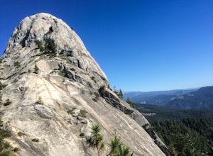
Hike Crags Trail to Castle Dome
4.45.1 mi / 2135 ft gainOne of the gems in the Shasta area, Castle Crags. You can spot these dramatic granite towers from a distance and their jagged formations beckon climbers and hikers alike. Imagine a slice of the Dolomites plucked out of Italy and placed in Northern California. Crags Trail to Castle Dome winds up t...Read more -
Dunsmuir, California
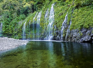
Mossbrae Falls
5.03.01 miDisclaimer: Hiking to the falls is trespassing. Fines can be as much as $300. If you choose to hike to the falls, you're doing so at your own risk so please be cautious and cognizant of your surroundings. If you live anywhere near Northern California or Southern Oregon, you may have heard about ...Read more -
McCloud, California
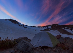
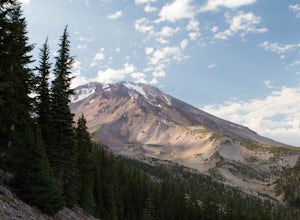
Mt. Shasta via Clear Creek Route
11.43 mi / 7615 ft gainThe least technical route to the summit of Mt Shasta begins at the Clear Creek Trailhead (elevation 6390 ft). Please note that although this is a less technical route, this is still dangerous and there have been deaths on Mt. Shasta because of falling rock. To start this, you should be a good hik...Read more -
Redding, California
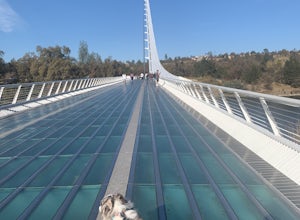
Hilltop Trail Head to Sundial Bridge
4.02.27 mi / 167 ft gainHilltop Trail Head to Sundial Bridge is an out-and-back trail where you may see wildflowers located near Redding, California.Read more -
Redding, California
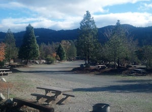
Camp at Shasta Campground
Shasta Campground offers 27 tent/trailer campsites, picnic tables, paved loop road, vault toilets, OHV staging area, potable water, and fire rings. To get to the campground head along Keswick Reservoir, below Shasta Dam. Take I-5 north from Redding about 10 miles to Shasta Dam Blvd. Follow Shas...Read more -
Redding, California
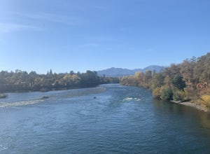
Arboretum Loop Trail
3.52.07 mi / 43 ft gainArboretum Loop Trail is a loop trail that takes you by a river located near Redding, California.Read more -
McCloud, California
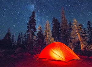
Panther Meadows Campground
5.0The Panther Meadows Campground is located in the timberline on Mt. Shasta. The free campsite has 10 sites with a fire ring and a table. The elevation of the campground is 7,500 ft, making it the highest campground on Mt. Shasta. Summer nights can get pretty cold, so make sure to bring proper atti...Read more -
McCloud, California
Gray Butte
3.27 mi / 646 ft gainMount Shasta is an incredible mountain in Northern California that offers a great variety of activities. The Gray Butte trail is one of the more beautiful trails in the area, and it's not too long (2.8mi, ~2h). We arrived at Shasta by late afternoon, so it was a great hike to do when golden hour ...Read more -
Plumas County, California
Camp at Last Chance Creek Campground on Lake Almanor
This PG&E campsite is located on the northern most inlet of Lake Almanor and is slightly more remote than the other sites around Lake Almanor. The campground offers spectacular views and easy access to great fishing. To get there, head east out of the town of Chester on Highway 36. After cros...Read more -
Siskiyou County, California
Climb Mt. Shasta via Avalanche Gulch
5.011 mi / 7200 ft gainThe Avalanche Gulch route is the second easiest, non-technical route to the summit of Mt. Shasta after the Clear Creek Route, but is by far the most popular. Many people complete this climb in one day from the trailhead, but you also have the opportunity to overnight at Horse Camp (7,950 ft.) or ...Read more -
Dunsmuir, California
Heart Lake Trail From Castle Lake
5.02.46 mi / 719 ft gainHeart Lake Trail From Castle Lake is an out-and-back trail where you may see beautiful wildflowers located near Dunsmuir, California.Read more -
Dunsmuir, California
Hike to Heart Lake in the Klamath Mountains
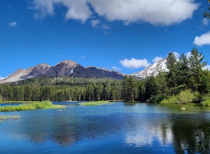
4.52.2 mi / 600 ft gainScenes like this are rarely so accessible. Heart Lake is nestled in a bowl below Castle Peak, on the edge of the Castle Crags Wilderness just west of I-5 and the city of Mt. Shasta. The parking lot and trailhead are both located on the shore of Castle Lake, a much larger lake that is stunning in ...Read more -
Chester, California
Lassen Volcanic National Park Scenic Drive
4.062.7 mi / 5387 ft gainLassen Volcanic National Park Scenic Drive is a point-to-point trail that takes you by a lake located near Chester, California.Read more -
Tehama County, California
Explore Deer Creek Falls
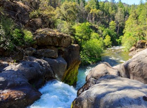
5.00.5 miThis extremely short hike starts just off of Highway 32. From Chester, head southwest on 32 for roughly 21 miles. There is a turnout and a sign where the trail starts. This waterfall is best viewed in the spring when there is still a large amount of snow melt off. This waterfall is definitely not...Read more -
Siskiyou County, California
Camp Out at Little Mt. Hoffman Lookout
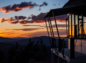
4.0If you've never stayed in a lookout, you should. It's not a thrilling get your adrenaline type of adventure, but more of a private, secluded, let's enjoy epic views and incredible company type of get away.Little Mt. Hoffman lookout is one of a few remaining historic lookouts that was built in the...Read more -
Siskiyou County, California
Climb Mt. Shasta via the Hotlum-Bolam Ridge
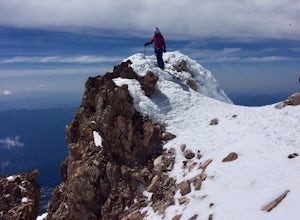
10 mi / 7200 ft gainThe Hotlum-Bolam route follows the ridge between the Hotlum and Bolam Glaciers on Shasta's north side. It's an intermediate route that isn't much more technical than the south side routes, except for icy sections and possible late-season open crevasses. For this reason it's a popular alternative ...Read more

