Burney, California
Looking for the best hiking in Burney? We've got you covered with the top trails, trips, hiking, backpacking, camping and more around Burney. The detailed guides, photos, and reviews are all submitted by the Outbound community.
Top Hiking Spots in and near Burney
-
Shasta County, California
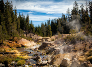
Visit Sulphur Works at Lassen Volcanic NP
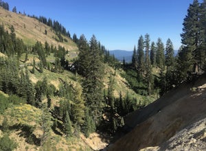
4.02 mi / 200 ft gainLassen Volcanic National Park is a wonderland of lush pine forests, arid rocky terrain, boiling lakes, snow-capped peaks, and extremely diverse wildlife. I recommend at least a week to explore this underrated national park, but if you are only driving through, you can still enjoy some of the won...Read more -
Old Station, California
Bumpas Hell to Cold Boiling Lake
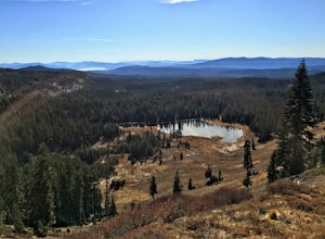
4.05.32 mi / 1007 ft gainBumpas Hell to Cold Boiling Lake Trail is an out-and-back trail that takes you by a lake located near Old Station, California.Read more -
McCloud, California
McCloud Middle Falls Short Trail
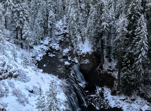
3.00.79 mi / 85 ft gainMcCloud Middle Falls Short Trail is located near McCloud, California. This route makes for an abbreviated version of the longer Middle McCloud Falls adventure which is 2.5 miles roundtrip. The parking area has an established parking lot and a vault toilet. The shorter trail with minimal elevati...Read more -
Shasta County, California
Kings Creek Falls Trail
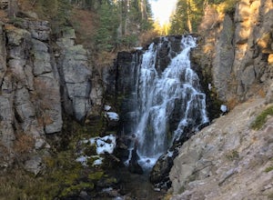
4.02.49 mi / 495 ft gainKings Creek Falls Trail is an out-and-back trail that takes you by a waterfall located near Old Station, California.Read more -
McCloud, California
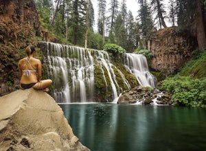
Middle McCloud Falls
4.82.49 mi / 243 ft gainJust 4 hours north of San Francisco, McCloud Falls offers a quick hike and swimming hole for those looking for something less crowded than Burney Falls. McCloud Falls has 3 tiers, but the middle section offers the best views by far. Getting Here To get here, park at the Fowlers Campground which...Read more -
Tehama County, California
Brokeoff Mountain Trail
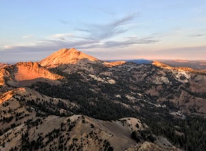
4.06.93 mi / 2474 ft gainPeaking above the volcanic valley at 9235 ft, Brokeoff Mountain is only second in height to Mt. Lassen in the national park they share. Brokeoff was once a part of a larger volcano called Mt. Tehama that erupted, eventually leading to its collapse. The event left a rugged volcanic rim, now con...Read more -
Plumas County, California
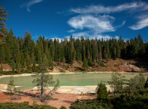
Boiling Springs Lake Loop
2.38 mi / 449 ft gainThe hike to Boiling Springs Lake starts at the Warner Valley Trailhead and is only a 3 mile roundtrip hike. It's a fairly easy hike that starts through the valley and then winds up through the forest and eventually opens up to the lake. First thing you'll notice as you approach the lake is the ...Read more -
Plumas County, California
Drake Lake Trail
4.6 mi / 840 ft gainThe hike starts at the Warner Valley Trailhead and winds up the mountain until you reach the lake. The first 2 miles or so are very pleasant walk through the woods until you reach the last portion which is essentially straight up the mountain side. This portion of the trail can be very slippery...Read more -
Pacific Crest Trail, California
Devils Kitchen Trail
5.05.06 mi / 525 ft gainYour hike to Devils Kitchen will start from Warner Valley Campground. The hike starts out thorough the valley and eventually winds through the forest and ends at the top of the Devils Kitchen site. You'll then hike down the hill a bit and get to explore the area! There are pretty specific walkin...Read more -
Pacific Crest Trail, California
Camp at Warner Valley
Warner Valley Campground is at the end of Warner Valley Road. It's 16 dollars a night at a first come first serve basis. As far as the campground it self, there are a few bathrooms and each site has a fire ring and a picnic table. There are 17 sites which isn't a ton but since it's a fairly unuse...Read more -
Redding, California
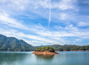
Houseboat Lake Shasta
1 mi / 1 ft gainLake Shasta sits at the foot of infamous Mt Shasta, past the major Northern California city of Redding. From the Bay Area you can count on at least a 3.5 hour drive to get to waters edge, but the drive goes by quickly just cruising on HWY 5. There are multiple Marinas on Shasta but the largest is...Read more -
Lassen County, California
Backpack the Caribou Wilderness Lakes Loop
12 miThe caribou lakes loop is very laid back, making it a great start for first time backpackers and kids. Word of caution: in the summer the mosquitos are plenty, I'd recommend this loop for the fall. From the parking lot there is a visible sign pointing you in the direction of the trailhead near Ca...Read more -
Castella, California
Hike Crags Trail to Castle Dome
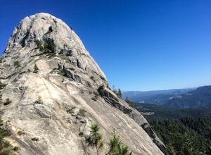
4.45.1 mi / 2135 ft gainOne of the gems in the Shasta area, Castle Crags. You can spot these dramatic granite towers from a distance and their jagged formations beckon climbers and hikers alike. Imagine a slice of the Dolomites plucked out of Italy and placed in Northern California. Crags Trail to Castle Dome winds up t...Read more -
Dunsmuir, California
Mossbrae Falls
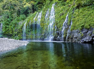
5.03.01 miDisclaimer: Hiking to the falls is trespassing. Fines can be as much as $300. If you choose to hike to the falls, you're doing so at your own risk so please be cautious and cognizant of your surroundings. If you live anywhere near Northern California or Southern Oregon, you may have heard about ...Read more -
McCloud, California
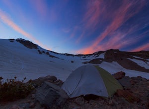
Mt. Shasta via Clear Creek Route
11.43 mi / 7615 ft gainThe least technical route to the summit of Mt Shasta begins at the Clear Creek Trailhead (elevation 6390 ft). Please note that although this is a less technical route, this is still dangerous and there have been deaths on Mt. Shasta because of falling rock. To start this, you should be a good hik...Read more -
Redding, California
Hilltop Trail Head to Sundial Bridge
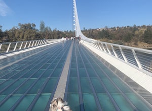
4.02.27 mi / 167 ft gainHilltop Trail Head to Sundial Bridge is an out-and-back trail where you may see wildflowers located near Redding, California.Read more

