Buellton, California
Looking for the best photography in Buellton? We've got you covered with the top trails, trips, hiking, backpacking, camping and more around Buellton. The detailed guides, photos, and reviews are all submitted by the Outbound community.
Top Photography Spots in and near Buellton
-
Santa Barbara County, California
Lobo Canyon Trail via Santa Rosa Campground
12.03 mi / 984 ft gainThe National Park Service describes this hike in the following: "Strenuous. A spectacular canyon with wind- and water-sculpted sandstone cliffs, a year-round stream, riparian vegetation, and a spectacular coast at its mouth. Well worth the effort." I couldn't agree more with the last sentence...Read more -
Santa Rosa Campground
East Point via the Coastal Road
13.76 mi / 486 ft gainOne could a lifetime exploring, and attempting to describe, the beauty of the Channel Islands National Park and Santa Rosa Island in particular: its wildly diverse terrain, endemic flora and fauna, and also the only of the Islands to allow backcountry beach camping. While the opportunities for di...Read more -
Santa Barbara County, California
Black Mountain via Cherry Canyon Trail
6.54 mi / 1329 ft gainWords fail in describing the beauty of the Channel Islands National Park and Santa Rosa Island, the second largest of the Channel Islands and perhaps the most diverse in terms of terrain, flora and fauna, and also the only to allow backcountry beach camping. While the opportunities for exploratio...Read more -
Santa Margarita, California
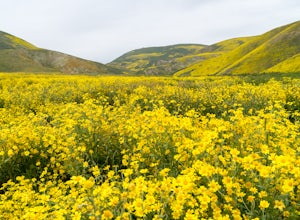
Photograph Wildflowers at Carrizo Plain National Monument
5.0Driving in from Hwy 58 East, you will be passing through a grapevine, and through some hills. Once you hit the Seven Mile Road, you will start to see fields of yellow flowers all around you - this is where the adventure starts. Just continue to drive along the road until you find a great spot to ...Read more -
Ojai, California
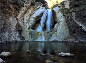
Matilija Falls
5.08.6 mi / 0 ft gainNote: This trail is temporarily closed. For more updates, please visit the Forest Service website for more updates. ...If you've read most of my blogs, you'll probably notice I have a fascination for waterfalls! I've done this hike multiple times, but it wasn't until this day where I saw these ...Read more -
Ojai, California
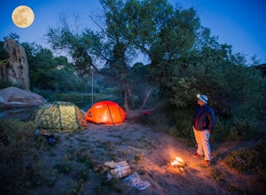
Camp at Rose Valley
5.0Close to Ventura and Ojai, California, this spot is an easy weekend getaway from the hectic coast of Ventura. Follow Highway 33 east toward Ojai. This road will lead into the Los Padres National Forest and become very curved and sleep as it gets closer to Rose Valley. The sign for the Park with b...Read more -
San Luis Obispo, California
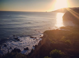
Catch the Sunset at the Avila Sea Caves
4.0When I attended Cal Poly San Luis Obispo, I would come out to this place to watch the sunset. It was my favorite spot to sit on a rock and take in the beautiful scenery as the sun went down. You don't really have to hike to get a nice view, you can park the car and walk out to the rock cliffs and...Read more -
Maricopa, California
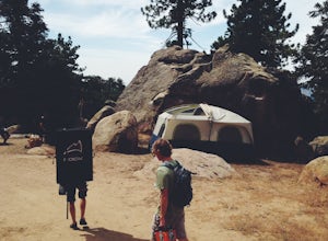
Camp and Boulder at Pine Mountain
Pine Mountain is closed intermittently for the winter season due to snowfall, usually from November through February. Outside of those months, take the Highway 33 north out of Ojai, heading north for about an hour and a half. You’ll see a large turnout as well as a sign reading “Pine Mt Road” on ...Read more -
Santa Margarita, California
Rinconada Mineral Mines
1.32 mi / 472 ft gainMy friends and I recently visited this abandoned mercury mine. The site was cleaned-up by the EPA many years ago, but much of the old equipment remains. Up the hill from the equipment are several deep cuts in the earth and a humongous hole in the ground. The sediment at edges of this hole are VER...Read more

