Belmont, California
Belmont, California is a top destination for outdoor adventures, offering some of the best trails and outdoor activities. One must-visit trail is the Water Dog Lake Park Trail, a moderate difficulty trail that spans 3.8 miles. Along this scenic route, hikers can enjoy views of the beautiful Water Dog Lake and encounter unique rock formations. If you're up for a challenge, the Sugarloaf Mountain Trail is a 2.8-mile trail that boasts panoramic views from the summit. For those interested in bird watching, the Crystal Springs Reservoir offers a rich array of bird species. Near Belmont, the Pulgas Ridge Open Space Preserve is another great spot for hiking and wildlife viewing. These outdoor attractions in and near Belmont are sure to satisfy anyone seeking adventure and natural beauty.
Top Spots in and near Belmont
-
Boulder Creek, California
Hike the Ocean View Summit Loop
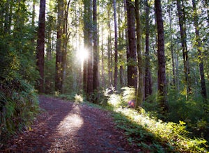
4.06 mi / 600 ft gainThis hike begins at the Big Basin park headquarters. If you're up for 6 miles through giant redwoods and along serene creeks, and with an ocean view, then this is the hike for you. Ocean view summit loop starts on the Gazos Creek Road bridge, next turn right on to the Middle Ridge Fire Road, whic...Read more -
Mill Valley, California
Kirby Cove
4.72 miThis scenic hike is a 1.8 mile out-and-back trail located near Sausalito, CA. From the trail and beach, you'll get scenic of the Golden Gate, San Francisco's skyline, and glimpses of the East Bay. The best news, there's rarely any crowd. Consider packing a blanket and a small picnic. With panora...Read more -
Sausalito, California
Battery Spencer
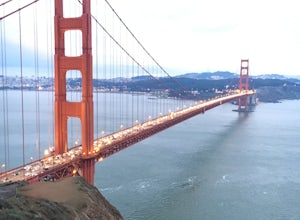
4.00.47 mi / 46 ft gainThis is a very popular spot to hike up to from Conzelman Road. You can find parking in the lot or on the street and do the quick hike up to Battery Spencer. You can get a perfect view of the Golden Gate Bridge and SF from the Marin side of the Bay. This is a unique perspective as you also get the...Read more -
Sausalito, California
Vista Golden Gate
4.3The headlands offer great views of the Golden Gate Bridge, particularly at Vista Golden Gate. You can make the Vista Viewpoint your starting off point to leave your car or if you're riding, just stop in and enjoy the view. This spot allows you to capture views of the Golden Gate as well as Angel ...Read more -
Mill Valley, California
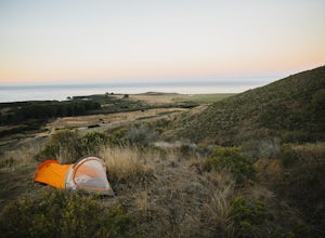
Camp at Kirby Cove
4.5Yes, you can camp just over the Golden Gate! Kirby Cove Campground has 4 overnight campsites and 1 picnic area for day use. The campground is set near a coarse-sand beach and offers amazing views of the Golden Gate, as long as it’s not a super foggy SF day. From the parking lot, it's a steep ~1 m...Read more -
Boulder Creek, California
Big Basin's Sunset Trail Camp
4.89.46 mi / 2146 ft gainThis trail and campsite is currently closed (learn more). Looking for a more authentic hiking and camping weekend, without having to drive hours away to find it? Then the Sunset Trail Camp within Big Basin Redwoods SP is your ticket. To access this site, you'll need to hike the famous Skyline-to...Read more -
Pescadero, California
Explore the Pidgeon Point Lighthouse
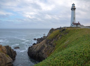
5.0Pidgeon Point Lighthouse is conveniently located just 50 miles south of San Francisco. Constructed in 1872 and standing at 115 feet, it is among the tallest lighthouse in America.Part of the state park system, it is surprisingly secluded. Numerous parking space were available in the lot with hand...Read more -
Pescadero, California
Exploring Big Sur to Pigeon Point
We started off in Big Sur and took as many pull-off viewpoints as possible between Big Sur and the final destination, Pigeon Point Lighthouse. The weather was foggy in some spots but would open up to reveal the vast Pacific Ocean and sun in others. The weather was mild for us but we're familiar w...Read more -
Boulder Creek, California
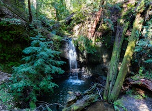
Hike to Sempervirens Falls
4.02.1 mi / 100 ft gainThe hike to Sempervirens Falls is an easy 2.1 mile out-and-back hike on the Sequoia Trail. You'll travel through the redwood forest and some of the campgrounds located in Big Basin State Park. The hike is pleasant but on occasion, you'll be too close to the road to feel like you're deep in the wi...Read more -
Mill Valley, California
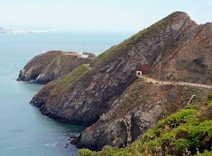
Headlands Ride to Point Bonita Lighthouse
4.3The Headlands are a quick ride over the Golden Gate. On the ride, you'll see wildflowers, rugged coastline, and the Point Bonita Lighthouse. Once you cross the bridge, take Conzelman Rd up ~700 feet to Hawk Hill. From here, continue on to the lighthouse. On the return trip, head back on Conzelman...Read more -
Sunol, California
Little Yosemite via Canyon View Trail
4.03.01 mi / 705 ft gainPlease note this is a fragile ecosystem and watershed. There is NO swimming allowed in Alameda Creek and trespassing is prohibited on Water Department lands that are not accessible to the public. You can learn more about the restrictions and the area at ebparks.org. After entering the kiosk you...Read more -
Sausalito, California
Hawk Hill
5.00.76 mi / 144 ft gainIf you're leaving from SF, head over the bridge and exit onto Alexander Ave. Make the immediate left under the overpass and you'll be on the road to Hawk Hill. There's a parking area just below the gate leading up to Hawk Hill. From the parking lot you can walk west about ten yards along the outs...Read more -
Sausalito, California
Slacker Hill
5.01.02 mi / 344 ft gainAlthough the Headlands can be crowded, particularly at the parking-lot chaos of the Vista Point and pull-offs along Conzelman Road, the three routes leading to the summit of Slacker Hill remain relatively quiet, even during busy weekends. Each can be tied into larger loops throughout the Headland...Read more -
Sausalito, California
Ninja Loop
9.37 mi / 1831 ft gainThis loop can start from several different locations, including Rodeo Beach and the Golden Gate Bridge parking lot. Starting from the GGB will add 2 more miles onto this run. I like to start at the Coastal Trailhead parking lot off of McCullough and Conzelman Roads (just a notch down from Hawk Hi...Read more -
Sausalito, California
Marin Headlands Trail Loop
10.5 mi / 1990 ft gainThis trail starts at the Coastal Trail in Marin Headlands Park, where there's a small parking lot and outhouse bathroom off the circle when coming from Conzelman Road.Take the Coastal Trail until you intersect with Bunker Road (you can even turn right and spit off the trail just before intersecti...Read more -
Sausalito, California
Black Sands Beach
5.00.54 mi / 285 ft gainBlack Sand Beach is a beautiful, mile-long stretch of black sand just north of the Golden Gate Bridge. On a sunny day, it’s best to try and arrive in the morning, as the parking lot can fill up quickly. To get down to the beach, you’ll need to hike for about 5 minutes down 250 or so wooden steps....Read more

