Bear Valley, California
Looking for the best photography in Bear Valley? We've got you covered with the top trails, trips, hiking, backpacking, camping and more around Bear Valley. The detailed guides, photos, and reviews are all submitted by the Outbound community.
Top Photography Spots in and near Bear Valley
-
Sonora, California
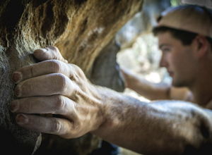
Bouldering at Columbia College
Get your hands on some limestone bouldering at this spot. There's actually two locations for bouldering in this area, Columbia College and Columbia State Park (about less than a 10 min. drive from Columbia College), but I made this specific adventure for climbing on the college. GPS Coordinates f...Read more -
Tahoma, California
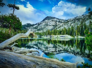
Backpack to Crag Lake
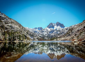
4.011.1 mi / 1220 ft gainDay 1:This trip is a great early season trip while you are waiting for the snow to melt in the high country or it could be a good first backpacking trip because of its proximity to the trailhead and the fact that it's a relatively easy hike. Also, you get to camp by a beautiful lake with a drama...Read more -
Glenbrook, Nevada
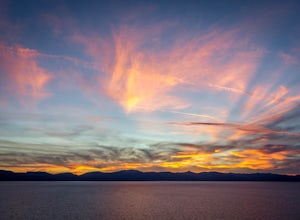
Catch a Sunset at Cave Rock
4.70.8 mi / 127 ft gainThis short hike is just off of highway 50 and provides one of the best views of Lake Tahoe. From South Lake Tahoe, head north on Highway 50 past Zephyr cove until you see Cave Rock Drive. Take this road until it dead ends and park in the small gravel lot. After following the trail out of the park...Read more -
Groveland, California
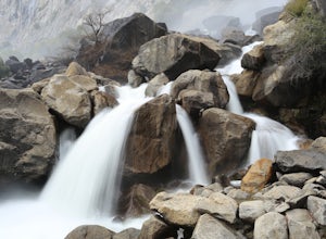
Wapama Falls
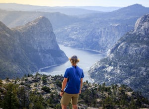
4.71 mi / 623 ft gainHetch Hetchy has a completely different character than other areas of Yosemite National Park, and the hike to Wapama Falls is an excellent way to explore this relatively remote section of the park. You can only imagine what this valley looked liked before it was dammed and is second to none compa...Read more -
Groveland, California
Hetch Hetchy to Rancheria Falls
4.812.55 mi / 2500 ft gainSituated in the northwest portion of Yosemite National Park, Hetch Hetchy is is a not often visited treasure of the Central Sierra Nevada. In 1913, in an extremely controversial move, work on the O’Shaughnessy Dam was started to provide water to the growing population of San Francisco. Today, Het...Read more -
Tahoe City, California
Hike the Ellis Peak Trail
5.06.3 mi / 1660 ft gainThe Ellis Peak Trail is close to North Lake Tahoe. The trail features scenic wildflowers in the spring and summer. Dogs are allowed on the trail but must be kept on leash. Directions from Truckee: Take Highway 80 south and drive to Tahoe City - continue south on Highway 89 from Tahoe City for 4....Read more -
Homewood, California
Eagle Rock
4.00.84 mi / 105 ft gainStarting at an outcrop off Highway 89 in Tahoe Pines, hikers make their way up the trail through a gradually sloping forest. Climbing rocks and logs, it is strenuous at times but only takes about 15-20 minutes to accomplish. Once at the top, the elevation is 6,286 feet and consists of an absolute...Read more -
Bridgeport, California
Hike to Barney Lake in Hoover Wilderness
3.0Barney Lake makes for an incredible day hike or trail run, but is also very accessible for camping.Start at the trailhead near the Mono Village Resort at Twin Lakes and follow the Robinson Creek Trail. If you plan on hiking during the winter, the resort will be closed and you will have to park at...Read more -
Bridgeport, California
Climb Matterhorn Peak via the East Couloir
10 mi / 6000 ft gainMatterhorn Peak in the northeastern Yosemite Wilderness is an SPS Emblem Peak and many regard it as the beginning of the High Sierra, as there are no peaks higher to the north in the Sierra Nevada.There are many routes to the summit, but the shortest and most direct (though not easiest) begins at...Read more -
Carson City, Nevada
Hike to Skunk Harbor
4.5The parking for Skunk Beach is very limited and a little difficult to find. Make sure you get there early if you want a spot. The parking is a turnoff along highway 28, about two miles north of the junction with highway 50. There is no trail sign or anything but there is an old green pipe gate wh...Read more -
Bridgeport, California
Hike to Peeler Lake
11 mi / 2400 ft gainThis trip can be done as a day trip or backpacking trip. It is around an 11 mile out-and-back trip.Park at Twin Lakes in Bridgeport, CA. There is a $10 fee and it can take a while on busy weekends. A permit is required to stay overnight in Hoover Wilderness. The trailhead can be hard to find; it ...Read more -
Tahoe City, California
Ride Twin Peaks in Lake Tahoe's Backcountry
This trip is best done in two days with an approach day and then a descent day. Get started at the base of the Sherwood Chair on the backside of the Alpine ski area. Head up, outside of the ski area boundary toward the high ridge.Once on the ridge, you follow it south for a few miles until reachi...Read more -
Groveland, California
Rainbow Pool
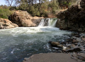
4.5Finding Rainbow Pool is a little tricky, since it is off the side of a highway, but when you find it there is parking and bathrooms. There is a easy walkway to get down to the pool itself, and trails to climb to the top to slide or jump off the rocks. Many people tend to fish up top underneath th...Read more -
Groveland, California
Drive the Yosemite Valley Loop
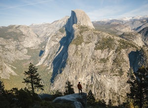
4.3Upon entering Yosemite Valley National Park I made it a point to see Half Dome, El Capitan, and Washington Column and several other famous Yosemite formations. What I didn't realize was as soon as I entered The Village was that all could be seen within a 15 minute loop around the valley floor. Th...Read more -
Carson City, Nevada
Relax at Tahoe's Chimney Beach
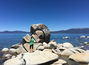
5.02.2 miLocated on the East Bank of Lake Tahoe along Highway 28, Chimney Beach is a great alternative to the more popular and heavily used beaches which can be quite a challenge to gain access due to the parking limitations during the busy summer months and on weekends.From the parking area on the east s...Read more -
Carson City, Nevada
Kings Canyon Falls
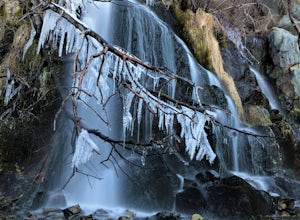
4.00.63 mi / 233 ft gain...Living in California, I know all about waterfalls! For me personally though, no matter the shape or size of the waterfall, it has my interest. Now when it comes to Nevada, I honestly can't think of too many waterfalls off the top of my head, but when you're passing through a town that you're u...Read more

