Bear Valley, California
Looking for the best hiking in Bear Valley? We've got you covered with the top trails, trips, hiking, backpacking, camping and more around Bear Valley. The detailed guides, photos, and reviews are all submitted by the Outbound community.
Top Hiking Spots in and near Bear Valley
-
Glenbrook, Nevada
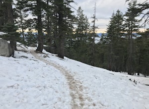
Castle Rock via Tahoe Rim Trail
5.01.79 mi / 407 ft gainCastle Rock via Tahoe Rim Trail (The Bench) is an out-and-back trail that takes you through a nice forest located near Zephyr Cove, Nevada.Read more -
South Lake Tahoe, California
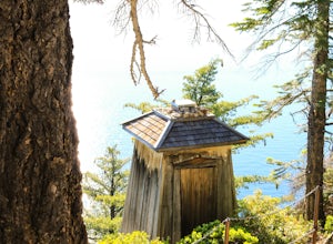
Hike the Lighthouse Trail at D.L. Bliss State Park
4.82.3 mi / 505 ft gainThe Lighthouse Trail is a 2.3 mile loop located in D.L. Bliss State Park on the lower west side of world famous Lake Tahoe. To get the trail, enter the park through the main entrance ($10 parking fee), the follow the road until you see two parking areas of the left side with about 6 or 7 spots e...Read more -
South Lake Tahoe, California
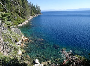
Hike the Rubicon Trail
5.07 mi / 400 ft gainThe Rubicon Trail is a through hike connecting D.L. Bliss State Park and Emerald Bay State Park. You can start at either point. I opted to start at D.L. Bliss State Park to avoid the long walk uphill to catch the Nifty Fifty shuttle. Also, there is more available parking at Bliss. Park your c...Read more -
Zephyr Cove, Nevada
Castle Rock Loop
5.02.84 mi / 630 ft gainThis hike is located near Stateline, Nevada. The trail joins the Tahoe Rim Trail for part of the hike. Be aware that there will be snow on the trail from November - late May, early June depending on snowfall. Bring snowshoes / appropriate boots if you wish to use the trail in the winter. Experien...Read more -
Glenbrook, Nevada
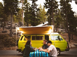
Camp at Zephyr Cove
Zephyr Cove on the eastern shore of Lake Tahoe is a fantastic starting point for a host of water sports and outdoor activities, from wake surfing to backpacking to trail running on the Tahoe Rim Trail. The Zephyr Cove Resort campground has 47 walk-in campsites and 10 drive-in campsites in additio...Read more -
Sonora, California
Bouldering at Columbia College
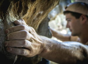
Get your hands on some limestone bouldering at this spot. There's actually two locations for bouldering in this area, Columbia College and Columbia State Park (about less than a 10 min. drive from Columbia College), but I made this specific adventure for climbing on the college. GPS Coordinates f...Read more -
Placerville, California
Rock Climb the Cosumnes River Gorge
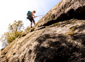
5.0Consumes River Gorge is a good climbing spot that is relativity close to Sacramento, California. it is located just outside of Placerville, California, making it a must-stop climbing spot for any Sacramento or Eldorado county local. The climbing spot boasts granite climbing areas with over a hund...Read more -
Tahoma, California
Backpack to Crag Lake
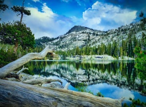
4.011.1 mi / 1220 ft gainDay 1:This trip is a great early season trip while you are waiting for the snow to melt in the high country or it could be a good first backpacking trip because of its proximity to the trailhead and the fact that it's a relatively easy hike. Also, you get to camp by a beautiful lake with a drama...Read more -
Angels Camp, California
Upper Natural Bridge Trail
1.9 mi / 410 ft gainUpper Natural Bridge Trail is an out-and-back trail that takes you by a river located near Columbia, California.Read more -
Glenbrook, Nevada
Catch a Sunset at Cave Rock
4.70.8 mi / 127 ft gainThis short hike is just off of highway 50 and provides one of the best views of Lake Tahoe. From South Lake Tahoe, head north on Highway 50 past Zephyr cove until you see Cave Rock Drive. Take this road until it dead ends and park in the small gravel lot. After following the trail out of the park...Read more -
Groveland, California
Wapama Falls
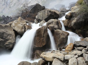
4.71 mi / 623 ft gainHetch Hetchy has a completely different character than other areas of Yosemite National Park, and the hike to Wapama Falls is an excellent way to explore this relatively remote section of the park. You can only imagine what this valley looked liked before it was dammed and is second to none compa...Read more -
Groveland, California
Hetch Hetchy to Rancheria Falls
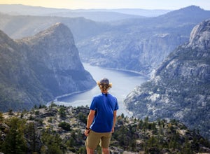
4.812.55 mi / 2500 ft gainSituated in the northwest portion of Yosemite National Park, Hetch Hetchy is is a not often visited treasure of the Central Sierra Nevada. In 1913, in an extremely controversial move, work on the O’Shaughnessy Dam was started to provide water to the growing population of San Francisco. Today, Het...Read more -
Tahoe City, California
Hike the Ellis Peak Trail
5.06.3 mi / 1660 ft gainThe Ellis Peak Trail is close to North Lake Tahoe. The trail features scenic wildflowers in the spring and summer. Dogs are allowed on the trail but must be kept on leash. Directions from Truckee: Take Highway 80 south and drive to Tahoe City - continue south on Highway 89 from Tahoe City for 4....Read more -
Carson City, Nevada
Hike the Spooner Lake Loop
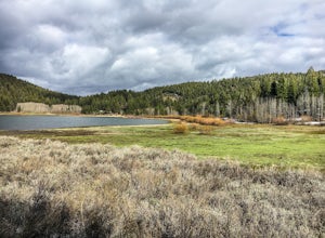
2.2 mi / 150 ft gainThe Spooner Lake Loop is perfect for any ages since there is basically no elevation gain and many benches along the trail to rest. The trail offers many educational signs describing the history, and flora and fauna of the area. This man made lake is perfect for the kids and pup. They will love th...Read more -
Homewood, California
Eagle Rock
4.00.84 mi / 105 ft gainStarting at an outcrop off Highway 89 in Tahoe Pines, hikers make their way up the trail through a gradually sloping forest. Climbing rocks and logs, it is strenuous at times but only takes about 15-20 minutes to accomplish. Once at the top, the elevation is 6,286 feet and consists of an absolute...Read more -
Bridgeport, California
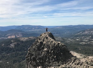
Matterhorn Peak
5.012.1 mi / 5036 ft gainMatterhorn Peak is an out-and-back trail that takes you by a lake located near Bridgeport, California.Read more

