Banning, California
Looking for the best chillin in Banning? We've got you covered with the top trails, trips, hiking, backpacking, camping and more around Banning. The detailed guides, photos, and reviews are all submitted by the Outbound community.
Top Chillin Spots in and near Banning
-
Twentynine Palms, California
Desert Queen Mine and Eagle Cliff Boulder House
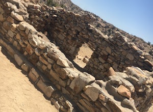
3.41 mi / 656 ft gainThis is a great trail and arguably, entering the mines is the coolest part. Bring a headlamp so you can see down tunnels. As you go past the giant boulders on the right, you enter a nice microclimate of cooler air and scrubby oak trees. Don't forget to look up - you'll see lots of erosion on the ...Read more -
Riverside County, California
Camp at Joshua Tree's Jumbo Rocks
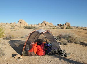
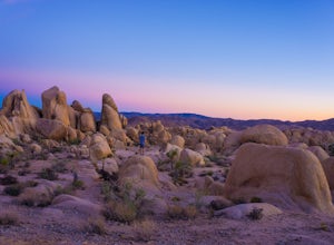
4.8Set your tent up next to a wall of tall boulders. This campground can offer a little shade, which is key especially during the warmer months. At the campground, there are 124 first-come, first-serve sites for $10 per night. Each campsite comes available with a picnic table and fire ring. The camp...Read more -
San Juan Capistrano, California
Hike the Pinhead Peak Trail at Ronald W. Caspers Wilderness Park
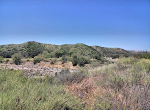
4.02 mi / 220 ft gainRonald W. Caspers Wilderness Park is the perfect place to getaway from the hubbub of LA. Enjoy the scenic drive north on Ortega Highway before reaching the entrance gate to the park. Parking Fees are currently $3 on Weekdays and $5 on Weekends. Camping Fees vary depending on your group size. The...Read more -
Silverado, California
Hike to Black Star Canyon Falls
4.87.5 mi / 913 ft gainWaterfalls in Orange County are far and few between, with the best lying near and inside the Cleveland National Forest. Black Star Canyon Falls are some of the best just after a rain if you are heading out during a dry time of the season you should still expect to see some water. Free parking, ea...Read more -
Riverside County, California
Backcountry Camp in Joshua Tree
5.02 miBackcountry camping can be done at various locations throughout the park (13 different locations). Upon arrival to the park, you will be given a map and can backcountry camp from any of the locations marked with a "B".At these locations you will find a backcountry registration board. It's extrem...Read more -
Riverside County, California
Camp at Joshua Tree's White Tank Campground
5.0White Tank Campground is in the perfect spot to get a taste of all that Joshua Tree has to offer. As a central location to nearby hiking and climbing, it is easy to access the various parts of the park. Removed from the border of the park, White Tank doesn't attract as many visitors as the more p...Read more -
Riverside County, California
Night Shoot at Arch Rock
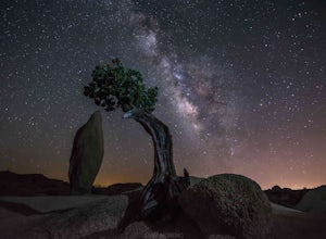
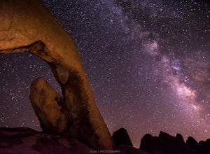
4.7If you're setting up camp, be sure to check out White Tank Campground, which is home to one of the most epic rock formations. The Arch is located here. It's only about 1/2 round trip of walking to this spot. Geology Tour Road offers some flat wide open views of Joshua Trees in all directions. If ...Read more -
Claremont, California
Stoddard Peak Trail
4.05.93 mi / 1129 ft gainOn the way to Mount Baldy and within the trail system of the San Gabriel mountain range is the Stoddard Peak Trail. The Stoddard Peak Trail, which is basically the old Barrett-Stoddard fire road, goes through the Stoddard Canyon into Stoddard Flat, and then eventually leads to Stoddard Peak. The ...Read more -
Claremont, California
Stoddard Canyon Falls (Baldy Slide Waterfall)
0.74 mi / 174 ft gainLocated near the Angeles National Forest, it's a short hike, approx. 0.75 miles roundtrip and just about anybody can go. To get there, input the intersection of Mt. Baldy Rd. and Barrett Stoddard Truck Trail into your GPS. This will bring you to a small dirt parking lot. The trailhead starts a...Read more

