Arnold, California
Arnold, California is a popular spot for outdoor adventure. From scenic trails to exciting activities, there's something for everyone. The best trails in the area include the Arnold Rim Trail, a 4.7 mile loop with stunning views of the Stanislaus River, and the Arnold Meadow Trail, a 6.2 mile loop with breathtaking views of the Sierra Nevada Mountains. Visitors can enjoy kayaking, fishing, and camping at the Calaveras Big Trees State Park, or take a hike at the Stanislaus National Forest. For those seeking an adrenaline rush, there's rock climbing and mountain biking at the Arnold Rim Trail. No matter your choosing, Arnold, California has the perfect outdoor adventure for you.
Top Spots in and near Arnold
-
South Lake Tahoe, California
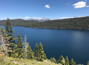
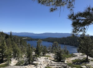
Hike the Fallen Leaf Lake Trail
5.08.1 mi / 859 ft gainThe Fallen Leaf Lake Trail is located in South Lake Tahoe, California. It is important to note that there is no trail on the east side of the lake. The trail turns into a paved road when you reach the marina after passing the campground. Additionally, lots of small trails jut out from the main tr...Read more -
South Lake Tahoe, California
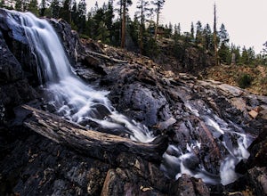
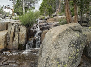
Photograph Fallen Leaf Lake's Cascading Falls
5.0This amazing waterfall is right off the road near the Fallen Leaf Campground. Once you enter the campground keep driving straight just a bit further and you will see a pull off on the right hand side. Pull off here and you should see the cascading waterfalls between the trees. Park here, get you...Read more -
South Lake Tahoe, California
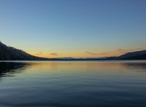
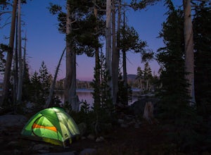
Camp at Fallen Leaf Lake
5.0Fallen Leaf Lake is truly one of the more beautiful places in California. Separated from Lake Tahoe by just a one-mile strip of land, it feels worlds away from the crowds and fuss. The campground has over 200 sites that can be reserved here. There are endless hikes nearby including Mount Tallac a...Read more -
South Lake Tahoe, California
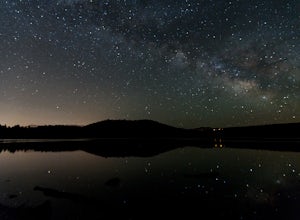
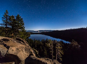
Photograph the Milky Way over Fallen Leaf Lake
Fallen Leaf has been my favorite spot in all of Tahoe since I can remember. The beautiful shoreline sits right up against the base of Mt. Tallac with almost zero light pollution. It is one of my favorite spots to go and shoot the stars. There are tons of spots to pick from depending on what you a...Read more -
South Lake Tahoe, California
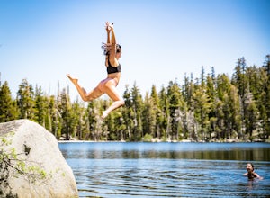
Swim at Fallen Leaf Lake
4.0Lake Tahoe has so many beautiful and breath-taking places to visit, hike, camp, wander around, etc. and Fallen Leaf Lake is definitely one of them. It's free to visit and park too and it is an easy hike from the parking area to the lake. The lake is very tranquil and serene and for those who wa...Read more -
El Dorado County, California
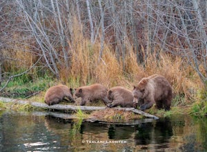
Photograph Black Bears at Taylor Creek, South Lake Tahoe
/ 30 ft gainLake Tahoe is a tourist attraction filled with spectacular views and a plethora of wildlife. However, one species in particular has made a lasting impression on both locals and tourists - black bears. The area around Lake Tahoe is prime bear habitat and cities in the vicinity are seeing a rising ...Read more -
South Lake Tahoe, California
Cascade Falls
4.81.32 mi / 98 ft gainStarting out at the Bayview Trailhead you will make your way out through the campground towards the trail. Once you find the trail it is a simple way to the falls. It starts out as a wide trail and winds through the pine and fir trees. You will come to some stone steps as the trail narrows for th...Read more -
South Lake Tahoe, California
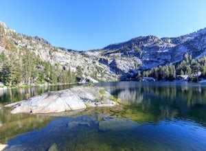
Backpack to Eagle Lake and Dick's Lake
4.513 mi / 1500 ft gainGet ready to get your lake on! This backpacking trip will take you 13+ miles through awesome scenery to several alpine lakes.Starting at the Bayview Campground, off of HWY 89, this hike follows the Granite Lake Trail along a difficult climb. Don't let the climb discourage you! As you climb, the v...Read more -
South Lake Tahoe, California
Hike to Snow Lake in Desolation Wilderness
5.05 miThis wonderful alpine lake is a relatively short hike in Desolation Wilderness and is a perfect introduction to off trail exploration. This area lacks the crowds that other lakes in Desolation garner because most maps don't show the trail leading to the lake. Although there is a rough trail, the ...Read more -
South Lake Tahoe, California
Lower, Middle, and Upper Velma Lakes
3.010.14 mi / 2316 ft gainThe hike starts at Bayview Trailhead (Latitude: 38.938619 | Longitude: -120.14197). A wooden sign points right to "Desolation" and left to Cascade Falls. Follow the sign towards Desolation. The first 3/4 mile is comprised of switch-backs that lead to a high point with a spectacular view of Lake T...Read more -
South Lake Tahoe, California
Swim in Granite Lake
5.01.25 mi / 900 ft gainGranite Lake is a pristine alpine lake near Lake Tahoe just off the Highway 89 above Emerald Bay. To get there park at the Bayview Campground Trailhead, which can be pretty crowded in peak season so get there early. The trail begins with an split: right takes you into the Desolation Wilderness (a...Read more -
South Lake Tahoe, California
Maggie's Peaks
5.03.85 mi / 1663 ft gainThis hike starts from the Bayviews Campground Trailhead. This day use area is usually pretty crowded so arrive early to get a parking spot. There is parking a quarter of a mile into the campground near the trail head, but if there is no room there is overflow parking just outside of the camping a...Read more -
South Lake Tahoe, California
Camp at Bayview Campground
5.0Bayview is a first come, first serve campground in South Lake Tahoe, halfway between Emerald Bay and Cascade Lake. You can catch an amazing sunrise over Emerald Bay! Large pine trees provide ample shade, and each site is equipped with a picnic table, grill, and bear boxes. Bring plenty of water -...Read more -
South Lake Tahoe, California
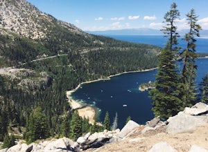
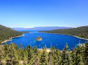
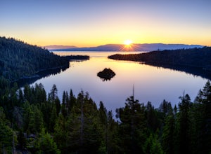
Photograph Lake Tahoe’s Inspiration Point
4.7Lake Tahoe’s Emerald Bay is a national natural landmark and is one of the prettiest parts of the lake. Inspiration Point is located along route 89 on the Southwest side of Tahoe about 10 miles from South Lake Tahoe or about 33 miles South from Truckee. It is very easy to get to, and its high va...Read more -
South Lake Tahoe, California
Eagle Falls & Eagle Lake Loop
4.42.39 mi / 617 ft gainEagle Falls Trail is located off Highway 89 and is surrounded by some of the most beautiful landscapes in California. Eagle Falls is one of the most popular short hikes in Lake Tahoe because of its beautiful cascading waterfalls, lush green scenery, and trees. Alongside one of the bluest pristine...Read more -
South Lake Tahoe, California
Middle Velma Lake via Eagle Falls Trailhead
4.59.18 mi / 2251 ft gainHiking or backpacking to the Velma Lakes area is a must do if you want to explore and escape the summer crowds of South Tahoe. There are 3 lakes, Upper, Middle, and Lower Velma Lake. The trek out to Middle Velma is 9+ miles roundtrip, but you can add to it depending on how many other lakes you wa...Read more

