Ozark, Arkansas
Top Spots in and near Ozark
-
Compton, Arkansas
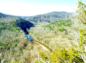
Hike to Scenic Big Bluff
5.06 miThe hike starts at the Centerpoint Trailhead and follows a clearly defined trail for 3 miles (approximately one hour) with mostly downhill or flat terrain and views through the trees of the rolling Ozark landscape. When you are almost to Big Bluff, the trail opens up into a large round area with ...Read more -
Mount Judea, Arkansas
Ricketts Mountain Bluffs Trail
5.00.43 mi / 59 ft gainRicketts Mountain Bluffs trail is a loop trail that takes you through a nice forest located near Mount Judea, Arkansas.Read more -
Witts Springs, Arkansas
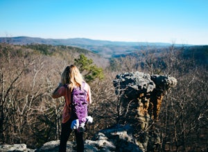
Hike Pedestal Rocks Loop
4.52.2 mi / 200 ft gainShortly after the trailhead, you’ll come to a three-way intersection. Head straight on Pedestal Rocks Trail to make a counterclockwise loop. Follow through the woods until you reach the bluff line. Check out the ledges along the way and you’ll begin to see the pedestal rock formations. There ar...Read more -
Witts Springs, Arkansas
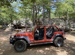
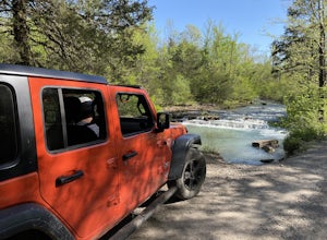
Falling Water Scenic Drive
5.015.52 mi / 1542 ft gainFalling Water Scenic Drive is a point-to-point trail that takes you by a waterfall located near Pelsor, Arkansas.Read more -
Harrison, Arkansas
Indian Creek to The Eye Of The Needle
5.04.27 mi / 705 ft gainStarting at approx. 900' in elevation, this 5 mile out and back hike ascends 700' in elevation to 1,400 at the highest point- The Eye of The Needle. The trail head is located next to the Buffalo River sign at Kyles Landing on the West side of the campground. You will follow the trail less than ...Read more

