Kingston, Arkansas
Looking for the best camping in Kingston? We've got you covered with the top trails, trips, hiking, backpacking, camping and more around Kingston. The detailed guides, photos, and reviews are all submitted by the Outbound community.
Top Camping Spots in and near Kingston
-
Winslow, Arkansas
White Rock Rim Trail
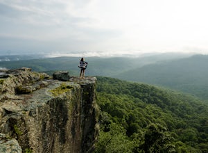
5.02.08 mi / 335 ft gainThe trail around the Rim of White Rock Mountain is one of the best trails for vantage points. Nestled in the beautiful Boston Mountains in north central area of Arkansas. The White Rock Rim trail is an easy 2 mile loop trail that is moderately hiked year round. Start at the parking area and he...Read more -
Witts Springs, Arkansas
Hike to Punchbowl Falls
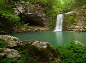
3.24 mi / -600 ft gainGo in the early Fall or late Spring! You start off on the Ozark Highland Trail. As you start walking along the trail you can see where people have slept the night before. Camping is acceptable out here, you do not have to pay, but the downside is that the closest town is about an hour away so if ...Read more -
Witts Springs, Arkansas
Backpack to the Sandstone Castles
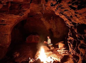
5.08 mi / 1000 ft gainFrom the Richland Creek campground, Twin Falls is an approximate 3 mile hike followed by another mile (give or take) to the "Castles". Directly above a small camping area on top of Twin Falls there begins a more primitive trail up the center on the ridge that will take you straight to the enormou...Read more -
Witts Springs, Arkansas
Camp at Richland Creek Campground
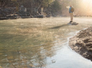
5.0This is one of my favorite places to camp in Arkansas. Once you get there you can hike to Twin Falls or Sandstone Castle, or explore the numerous cascades along Richland Creek. It's a relatively small campground with 11 campsites, but has a lot of places to hang hammocks and also offers a picnic ...Read more -
Witts Springs, Arkansas
Hike to Twin Falls in the Richland Creek Wilderness Area
4.05 mi / 200 ft gainThis hike begins at Richland Creek Campground. There's a trace trail that begins from the lowest walk-in campsites and continues along Richland Creek as you head back towards the waterfall. Parking and trailhead coordinates are 35.79839, -92.95774. It's not quite a bushwhack, but it's still a pre...Read more -
Witts Springs, Arkansas
Richland Creek Campground Trail
5.03.53 mi / 292 ft gainRichland Creek Campground Trail is an out-and-back trail that takes you by a waterfall located near Witts Springs, Arkansas.Read more -
Mulberry, Arkansas
Backpack along Hurricane Creek
6 miAfter arriving at the trailhead near the Shores Lake Campground (there is a $3 parking fee, so bring cash), head along the path and go west at the T-junction. Continue going west/northwest and you’ll cross over a forest road. Stay on the trail as it gradually descends, then veer off-trail to the ...Read more

