Deer, Arkansas
Top Spots in and near Deer
-
Huntsville, Arkansas
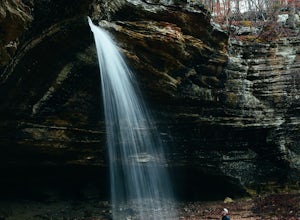
Tea Kettle Falls Trail
3.22.97 mi / 289 ft gainFinding Tea Kettle Falls is the most challenging part of this adventure. The trailhead is located in the McIlroy-Madison County Wildlife Management Area in northwest Arkansas. From Forum, travel 6.5 miles north on Hwy 23 to gravel road #447. It is approximately 13 miles south of Eureka Springs ...Read more -
Winslow, Arkansas
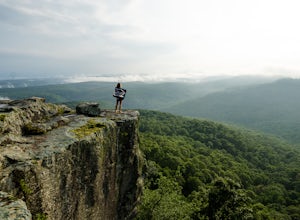
White Rock Rim Trail
5.02.08 mi / 335 ft gainThe trail around the Rim of White Rock Mountain is one of the best trails for vantage points. Nestled in the beautiful Boston Mountains in north central area of Arkansas. The White Rock Rim trail is an easy 2 mile loop trail that is moderately hiked year round. Start at the parking area and he...Read more -
Mulberry, Arkansas
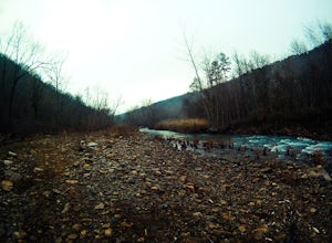
Backpack along Hurricane Creek
6 miAfter arriving at the trailhead near the Shores Lake Campground (there is a $3 parking fee, so bring cash), head along the path and go west at the T-junction. Continue going west/northwest and you’ll cross over a forest road. Stay on the trail as it gradually descends, then veer off-trail to the ...Read more -
Paris, Arkansas
Mount Magazine Scenic Byway
20.25 mi / 2720 ft gainMount Magazine Scenic Byway is a point-to-point trail that takes you by a waterfall located near Paris, Arkansas.Read more -
Eureka Springs, Arkansas
Black Bass Lake Trail
4.51.85 mi / 338 ft gainBlack Bass Lake Trail is a loop trail that is good for all skill levels located near Eureka Springs, Arkansas.Read more

