Dardanelle, Arkansas
Top Spots in and near Dardanelle
-
Kingston, Arkansas
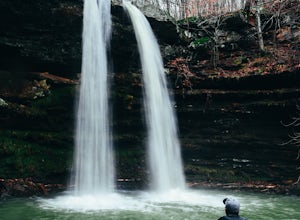
Neil Compton's Double Falls
4.02.15 mi / 404 ft gainThe parking area for Neil Compton’s Double Falls is approximately 1.1 miles past the trailhead for Hawksbill Crag on Cave Mountain Road. Cave Mountain Road is steep and can get pretty muddy after a good rain. A vehicle with 4WD is recommended although plenty of people make it up in small cars. ...Read more -
Hot Springs, Arkansas
Hike Hot Springs Mountain then Soak at Buckstaff Bathhouse
3.85 miStart your day at the Buckstaff Bathhouse. I would recommend doing the hike first and the traditional bath experience after, but depending on the day and time of year, the bathhouse may be closed in the afternoon. You can check their hours here. After you buy a ticket and store your belongings, ...Read more -
Kingston, Arkansas
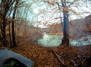
Backpack Along Whitaker Creek
5 miAfter arriving at the Whitaker Point/Hawksbill Crag trailhead, start going down the path for about 1/8th of a mile. You’ll cross a small stream, and here is where you’ll turn off the trail. Using Whitaker Creek as your guide, follow it like a handrail as it descends down into the confluence with ...Read more -
Kingston, Arkansas
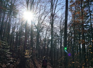
Hawksbill Crag via Whitaker Point Trail
4.52.68 mi / 594 ft gainHawksbill Crag aka Whitaker Point is one of the most popular hiking spots in all of Arkansas and only ~60 miles from Fayetteville. However, doing the hike early in the morning provides one of the best places of all time to watch a sunrise. You begin at the trail marker which is straight across ...Read more


