Vail, Arizona
Looking for the best hiking in Vail? We've got you covered with the top trails, trips, hiking, backpacking, camping and more around Vail. The detailed guides, photos, and reviews are all submitted by the Outbound community.
Top Hiking Spots in and near Vail
-
Tucson, Arizona
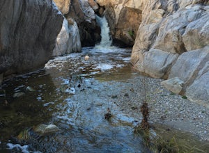
Romero Pools via Romero Canyon
4.85.52 mi / 1155 ft gainTo enter the Catalina State Park costs $7 per vehicle with up to four adults. You then drive to the trailhead parking lot. There will be a restroom and a very small shop there. From the trailhead, you almost immediately crosse Sutherland Wash, which flows seasonally. The first 1.1 miles is relati...Read more -
Tucson, Arizona
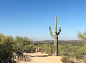
Canyon Loop Trail in Catalina State Park
2.26 mi / 180 ft gainThe Canyon Loop trail is an easy hike through the foothills that begins and ends at the Trailhead parking lot. (End of the road when you enter Catalina State Park from Oracle Rd - entrance fee required) The loop is relatively flat, although starts with a short uphill burst before leveling off. ...Read more -
Tucson, Arizona
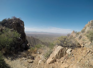
Summit Wasson Peak
5.07.4 miThis hike starts at the King Canyon Trailhead. You'll follow the King Canyon Trail along the wash then down into the wash near the picnic area. You won't be in the wash for long before the trail will turn off to the right out of the wash. This trail is very well signed. You'll continue along King...Read more -
Tucson, Arizona
Hike the Valley View Overlook Trail in Saguaro National Park
5.00.8 miThe Valley View Overlook Trail is located in the Tucson Mountain District (which west of Tucson) of Saguaro National Park. The access to this trail is about 3 miles north from the Red Hills Visitor Center. From the visitor center travel 1.5 miles north on N. Kinney Road, then take a right on Hoh...Read more -
Tucson, Arizona
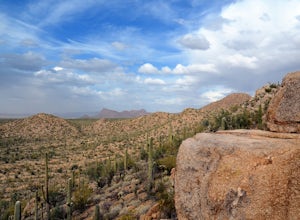
Hike the Hugh Norris Trail, Saguaro National Park
4.09.5 mi / 2000 ft gainNamed for a Native American police chief, the Hugh Norris trail takes you from lush (by desert standards) Saguaro and cholla forests to the top of rugged Wasson Peak. On top of the peak, you'll have sweeping views of the city of Tucson, as well as the surrounding mountain ranges. Depending on y...Read more -
Tucson, Arizona
Hike Signal Hill Trail
0.6 mi / 46 ft gainA popular trail in the Tucson Mountain District of Saguaro National Park, Signal Hill is a highlight of the park with a small summit to a boulder field with many petroglyphs and views for several miles. The petroglyphs date to the 13th and 14th centuries and were created by the Hohokam people. ...Read more -
Rio Rico, Arizona
Camp at Patagonia Lake State Park
5.0Patagonia Lake State Park is located about 70 miles southeast of Tucson on State Route 82, 7 miles south of Patagonia, Arizona. Coming from the north, the drive to Patagonia Lake State Park is very scenic; the road winds through rolling hills and countryside with the looming Santa Rita Mountains ...Read more -
Cochise, Arizona
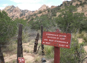
Hike the Cochise Stronghold Trail
4.012 mi / 1200 ft gainTake Rt. 10 east toward Benson and onto Cochise. Follow the sign to Pearce then to Sunsite. Take Ironwood Rd., Forest Rd. 84, for about 12 miles to the Stronghold Campground. Cochise Stronghold is about 1 hour from Tucson and well worth the drive. This is an out and back hike which makes for a lo...Read more

