Martigny, Switzerland
Looking for the best photography in Martigny? We've got you covered with the top trails, trips, hiking, backpacking, camping and more around Martigny. The detailed guides, photos, and reviews are all submitted by the Outbound community.
Top Photography Spots in and near Martigny
-
Beaufort, France
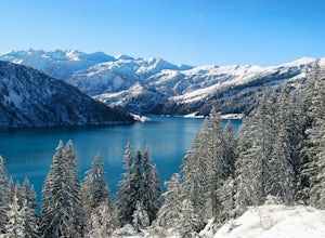
Snowshoe the Cormet de Roselend
18.6 mi / 2986 ft gainThe Roselend mountain pass is known in the cycling world for being part of the Tour de France, but in the winter it is essentially deserted. There are a few old buildings, a small electrical station and you'll perhaps see some locals out for a ski, but my bet is you'll feel magnificently alone in...Read more -
Kandersteg, Switzerland
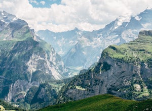
Hike over Bunderchrinde Pass in the Bernese Alps
5.010 mi / 4000 ft gainThe hike starts in the town of Kandersteg and ends in the town of Adelboden. If you want to make it an out-and-back, you can hike from Kandersteg to Bunderchrinde Pass then back down.Getting to Kandersteg from any major city by train is easy. From the train station, follow the "yellow" signs to B...Read more -
Kandersteg, Switzerland
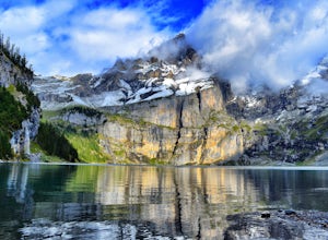
Hike Oeschinensee Lake and Blumlisalp Hut
4.06 mi / 2000 ft gainWords and photos cannot accurately depict the beauty you will find in this area. The breathtaking emerald waters of Oeschinen Lake are the highlight of this incredible hike that requires little effort reach. The surrounding Alps provide and unbeatable backdrop, and in warmer months, multiple wate...Read more -
Saas-Grund, Switzerland
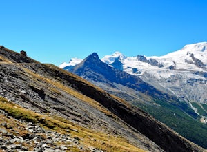
Hike the Almageller Höhenweg
6.9 mi / 689 ft gainGetting ThereStart your tour in Saas-Grund at the bottom station of the Hohsaas cableway. In summer, it costs you only 7 Swiss Francs there to park your car for the day. Then take the cable car up to the middle station (Kreuzboden) where your hike will begin.Hint: If you are staying in the Saas V...Read more -
Tignes, France
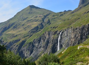
Hike to Lac La Plagne in the French Alps
7.5 mi / 1968.5 ft gainThis beautiful hike features ribbon and horse tail waterfalls backdropped behind wildflowers and grazing dairy cows along the creek descending the mountain. Though there are some steep sections to the hike, this day outing is accessible by all levels of adventurer.Getting thereAfter a short driv...Read more -
Talloires-Montmin, France
Hike and Camp La Tournette
3.9 mi / 2854.3 ft gainIt is at the place called Chalet de l'Aulp (1424 m) that we began this walk. This is after the tarmac road terminus. A small remark: the stony road but carrossable continues to the chalet where you can park your car. But you can also start it from a place called Les Prés Ronds (1216 m). At the ch...Read more -
Alagna Valsesia, Italy
Hike to Alpe Testanera - Monte Rosa
10.2 mi / 3641.7 ft gainThis is an enjoyable hike that will lead you to a beautiful arena where your can admire the south side of the Monte Rosa.After parking at Wold, after the village of Alagna Valsesia, just follow the road to the Acqua Bianca falls. Here you can find the trail (7a) that leads to Turlo pass and, once...Read more -
Simplon, Switzerland
Hike in the Laggintal
7.3 mi / 3359.6 ft gainThe journey begins in the village of Simplon Dorf, crouched on soft hills and lush green meadows under the Fletschhorn.The trail starts at the side of the Post Office in the center of Simplon Dorf and you'll ascend on a track very well marked crossing diagonally the wooded ridge overlooking the v...Read more

