Kandersteg, Switzerland
Looking for the best photography in Kandersteg? We've got you covered with the top trails, trips, hiking, backpacking, camping and more around Kandersteg. The detailed guides, photos, and reviews are all submitted by the Outbound community.
Top Photography Spots in and near Kandersteg
-
Château-d’Œx, Switzerland
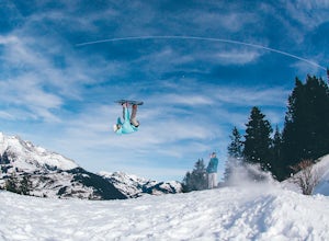
Ski and Snowboard Chateau D'oex
Chateau D'oex sits at 3,100 feet above sea level in the French-speaking Canton of Vaud, Switzerland. The easiest way to get to this picturesque place is by train, unless you happen to be staying nearby with a car. The small mountain town of about 3,500 people is riddled with history, beautiful la...Read more -
Simplon, Switzerland
Hike in the Laggintal
7.3 mi / 3359.6 ft gainThe journey begins in the village of Simplon Dorf, crouched on soft hills and lush green meadows under the Fletschhorn.The trail starts at the side of the Post Office in the center of Simplon Dorf and you'll ascend on a track very well marked crossing diagonally the wooded ridge overlooking the v...Read more -
Saas-Grund, Switzerland
Hike the Almageller Höhenweg
6.9 mi / 689 ft gainGetting ThereStart your tour in Saas-Grund at the bottom station of the Hohsaas cableway. In summer, it costs you only 7 Swiss Francs there to park your car for the day. Then take the cable car up to the middle station (Kreuzboden) where your hike will begin.Hint: If you are staying in the Saas V...Read more -
Zermatt, Switzerland
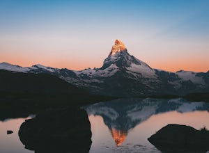
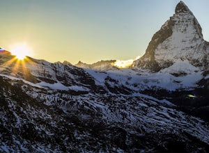
Photograph the Matterhorn
5.0Take the underground cable car from Zermatt Sunnegga valley station. At Sunnegga, take the gondula to Blauherd. Stelli Lake (look out for Stellisee) is only about 15 minutes from Blauherd station.Thousands of photos have been taken at Stellisee, so add a few more to that number. Stelli Lake featu...Read more -
Leysin, Switzerland
Hike and Climb the Via Ferrata de la Tour D'Ai
5.05 mi / 1000 ft gainA Via Ferrata is a protected climbing road created in the Alps made of steel. With a climber’s kit, you secure yourself to cables periodically attached to the mountain, and climb up with the help of steel pegs fixed into the mountain. The Via Ferrata of the Tour D’Ai is located in Leysin, and i...Read more -
Zermatt, Switzerland
Explore The Matterhorn
5.0The Matterhorn straddles both Switzerland and Italy and is one of the most beautiful peaks you can shoot. The summit sits at 14,692 feet, making this one of the tallest peaks in Europe.There's an abundance of mellow hikes around the area - check a map in Zermatt for a trail that suits you or just...Read more -
Zermatt, Switzerland
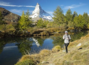
Hike to Grindjisee
1.8 mi / 150 ft gainNestled at the end of a long valley, the village of Zermatt is constantly dwarfed by the tooth-shaped Matterhorn. You can virtually hike anywhere around Zermatt and see the Matterhorn, but there are some places that offer better views than others. One of those places is a small lake called Grindj...Read more -
Bognanco, Italy
Hike to Gattascosa hut and Camoscellahorn
4.2 mi / 3290.7 ft gainThe path that I'm suggesting here can be completed in full if you feel trained for a climb of 1000m but it can also be cut in half at the Monscera pass if you prefer something simpler and lighter. In any case, your excursion will give you great reward. From Domodossola follow directions to Bognan...Read more -
Obergoms VS, Switzerland
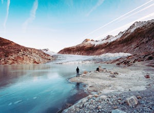
Photograph the Rhône Glacier
4.8 mi / 1686.4 ft gainHead for one of the highest mountain passes in the Swiss Alps, the Furkapass. It connects Gletsch, Valais with Realp, Uri. On the way, take a look at the awesome little church in Gletsch, a small town that looks pretty spooky during off-season! It's a perfect spot to watch or take pictures of the...Read more -
Martigny, Switzerland
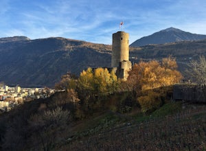
Hike to La Bâtiaz Castle in Martigny
3.6 mi / 675 ft gainStarting in the Martigny town center, the trailhead is easy to find. Follow Rue de la Bâtiaz across La Dranse Rive and after about two blocks you will see signs to Chemin du Château, the "path to the castle."A relatively easy hike, switchbacks wind through vineyards on the mountainside for 1.8 mi...Read more -
Alagna Valsesia, Italy
Hike to Alpe Testanera - Monte Rosa
10.2 mi / 3641.7 ft gainThis is an enjoyable hike that will lead you to a beautiful arena where your can admire the south side of the Monte Rosa.After parking at Wold, after the village of Alagna Valsesia, just follow the road to the Acqua Bianca falls. Here you can find the trail (7a) that leads to Turlo pass and, once...Read more

