Glendhu Bay, New Zealand
Looking for the best photography in Glendhu Bay? We've got you covered with the top trails, trips, hiking, backpacking, camping and more around Glendhu Bay. The detailed guides, photos, and reviews are all submitted by the Outbound community.
Top Photography Spots in and near Glendhu Bay
-
Greenstone, New Zealand
Hike to Lake Rere
The track begins from the Greenstone carpark. After walking for around 5 minutes, you will chose which direction you would like to complete the loop. For our hike we chose to go left over the swing bridge that crosses the river. After crossing the river you continue through open farm paddocks....Read more -
Mount Aspiring National Park, New Zealand
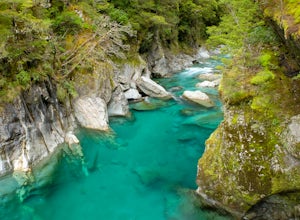
Hike to the Blue Pools
4.50.3 mi / 10 ft gainFrom the carpark the trail can easily be identified across the street. A short walk through native beech forest and over a long swing-bridge takes you to the boardwalk just before reaching the bridge over the Blue Pools.Read more -
Mount Aspiring National Park, New Zealand
Valley of the Trolls
1.9 mi / 1312.3 ft gainThe Valley of The Trolls can be accessed from the head of Lake Harris, off the Routeburn track. The trail in the valley is a lot tougher going than the well maintained Routeburn track. The valley floor will quickly become a swampy bog after a rain. Getting to the trail is easily done about 300 ...Read more -
Fiordland National Park, New Zealand
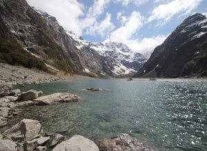
Hike to Lake Marian
4.53 mi / 1312.3 ft gainThe track starts soon after the turnoff onto Hollyford Rd off the Milford Highway. The track begins with a bridge crossing over a river and then soon reached Marian Falls. From the falls the trail climbs steeply through forest until the lake. The lake is a beautiful place to spend several hour...Read more -
Mount Aspiring National Park, New Zealand
Backpack the Brewster Hut Track
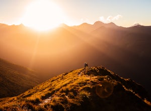
5.011.2 mi / 5656 ft gainTwenty kilometers north of Haast Pass (568m/1864ft) there is a carpark for Fantail Falls, a beautiful waterfall with numerous rock cairns displayed at its base. From here, take a 3-4 hour hike along Brewster Hut Track (more like climb) through beech forest and then alpine tussock to reach Brewste...Read more -
Mount Aspiring National Park, New Zealand
Hike Brewster Track to Mt. Armstrong
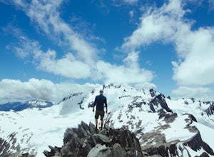
5.05.6 mi / 5577.4 ft gainAfter a short walk from the Fantail Falls parking lot, the trail crosses the river to reach the beginning of the track. It's unlikely you'll avoid getting your feet wet.The track heads up through the steep and rooted slopes until you break treeline after several thousand feet of elevation gain. N...Read more -
Fiordland National Park, New Zealand
Camp at Cascade Creek
This campsite is just off the Milford Highway. There will be a sign for the Cascade Creek Campground exit. Follow the dirt road for several minutes before reaching the campground. You may find a spot immediately, but the campground is fairly large and can get busy, so drive until you find a spot ...Read more -
Fiordland National Park, New Zealand
Hike to Gertrude Saddle
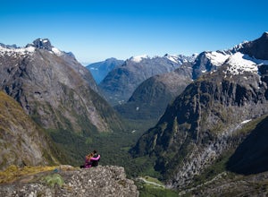
4.84.3 mi / 2624.7 ft gainThe trail begins at the signposted car park along Milford Road just before the Homer Tunnel, about 98km from Te Anau. Follow the marked track through the valley and left, steeply uphill. About halfway up you will cross the Gertrude Stream below a large, steep waterfall.Upon reaching Black Lake, c...Read more

