Grays Meadows
Book this listing through our partner Recreation Gov
About Grays Meadows
Overview
Grays Meadows Campground is situated along Independence Creek in the Onion Valley area of the eastern Sierra Nevada Mountains. Its location on the creek and proximity to the rugged John Muir Wilderness make it a popular hub for hikers, anglers, spring skiers and snowboarders.Opening and closing dates may be dependent on weather conditions.
Recreation
Majestic mountain scenery and challenging trails draw campers to the Onion Valley area for hiking and horseback riding. The well-known and demanding Shepherd Pass Trail, which can be reached just west of Grays Meadows Campground, heads up to alpine lakes and the high peaks of the John Muir Wilderness.Independence Creek is regularly stocked with trophy-size rainbow trout. Anglers flock to the creek for its early trout fishing season, which starts the first weekend in March, ahead of much of the area.
Facilities
The facility consists of an upper and lower campground. The creek borders one side; sites 10, 12, 13, 14, 40, 41, 46 and 51 are closest to the water. Most of the campground is located in a large oak grove, providing shade.The area is frequented by bears so campers must store food in the bear-proof lockers provided on-site. Firewood is available for purchase at the campground.
Natural Features
Grays Meadows Campground offers a wandering creek, both sunny and shaded campsites and a high-desert landscape. It sits at an elevation 6,100 ft. and is bordered on the west by Mt. Williamson and Mt. Whitney, the highest peaks in the contiguous United States. The area is home to abundant wildlife, including black bear, mountain lions, mule deer, pine marten, pika and many species of fish and birds.Nearby Attractions
Campers can enter the John Muir Wilderness, a land of lofty snow-capped mountains, deep canyons and vast expanses of glacially carved terrain, via nearby trails.Grays Meadows Reviews
Have you stayed here? Be the first to leave a review!
Top Spots in or near Independence
Flower Lake from Onion Valley
Independence, California
5.04 mi
/ 1352 ft gain
Make sure to obtain an overnight permit up to 6 months in advance. You will have to pick up your permit at one of the Inyo National Forest Visitor Centers (here) before you begin.
Once you have your permit in hand, drive to the Onion Valley Trailhead (see map), which is about 15 miles west of the town of Independence, CA and sits at an elevation of 9185 feet. Park in the lot, where you can fil...
Onion Valley to Mt. Whitney
Independence, California
47.35 mi
/ 11745 ft gain
Trip Guide
***Please note, all images after the first one are arranged in chronological order of the trip so you can easily follow along
Day 1
Depending on where you are coming from your day one is most likely going to be setting up your car shuttle from Whitney Portal to Onion Valley. Our first day setting up car shuttles and staying overnight at Onion Valley Campground. If you are flying...
Charlotte Lake via Kearsarge Pass
Independence, California
4.0
16.38 mi
/ 4078 ft gain
This adventure begins at Onion Valley Campground outside of Independence, CA. The parking is abundant and the road is snow dependent. Snow will be plowed as long as it is not currently being hit with a massive storm. Dogs are allowed on trail up to Kearsarge Pass (4.5 miles from the trailhead). However, as you continue west over the pass you enter Sequoia National Park, which means pets are not...
Rae Lakes via Glen and Kearsarge Passes
Independence, California
5.0
26.02 mi
/ 7106 ft gain
The hike starts at Onion Valley campground and includes a good deal of elevation (two passes around 12,000 feet). You start climbing at the outset, and keep climbing for the first couple of hours before hitting Kearsarge Pass. Here you begin a long descent, then traverse above some beautiful lakes on the Sierra High Route before joining the PCT/John Muir Trail, which brings you to the second cl...
Summit Mt. Gould
Independence, California
9 mi
/ 3812 ft gain
Starting at 9,200 feet at Onion Valley Campground, take Kearsarge Pass Trail. The hike begins immediately with a substantial increase in elevation, switchbacking up the mountain. On the way up rest and enjoy the beautiful alpine lakes, which include Gilbert, Flower, Heart and Big Pothole Lake. Flower Lake is the last water source that is easily accessible to filter water. After about 4.2 miles ...
John Muir Trail: Middle Rae Lake
Fresno County, CaliforniaYou'll have to deal with some crowds at Rae Lakes but that is because this is an amazing setting to spend the night. If sharing this place with others is the worst of your worries then you're doing pretty well. Hikers flock here for the incredible swimming, views of iconic peaks like Fin Dome and Painted Lady, and epic sunrises.Find out everything you need to know about your John Muir Trip at B...
Camping and Lodging in Independence
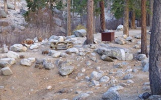
Whitney Portal Road
Whitney Portal
Overview
Whitney Portal Campground is in a prime location within the eastern Sierra Nevada Mountains - at the base of Mt. Whitney, the hi...
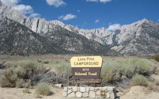
Whitney Portal Road
Lone Pine
Overview
Lone Pine Campground is located near the base of Mt. Whitney, the highest peak in the continental United States, offering unpara...
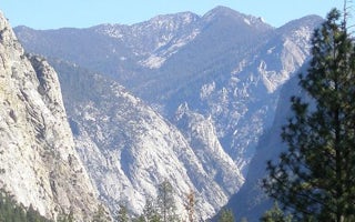
Miramonte, California
Sentinel Campground
Overview
Sentinel Campground in Cedar Grove is nestled in the stunning Kings Canyon, one of the deepest canyons in the United States. Wit...
Sequoia National Park, California
Lodgepole Campground Sequoia And Kings Canyon National Park
Overview
Lodgepole Campground is located in the breathtaking Sequoia and Kings Canyon National Parks in central California's rugged Sier...
Big Pine, California
Big Pine Canyon
Overview
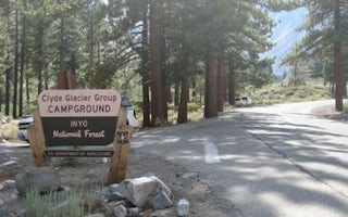
Big Pine Canyon Recreation Area includes two group campground sites. Named for glaciers that can be seen at the end of the valle...
Big Pine, California
Big Pine Creek Campground
Overview
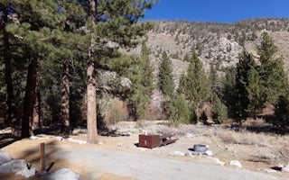
Big Pine Creek Campground, surrounded by sprawling meadows and towering trees, is perfectly situated in the scenic Big Pine Cany...
Unfortunately, we don't have up-to date pricing data for this listing, but you can check pricing through Recreation Gov.
Book NowAdd your business today to reach The Outbound's audience of adventurous travelers.
Community
© 2024 The Outbound Collective - Terms of Use - Privacy Policy


