Dobbiaco, Italy
Looking for the best hiking in Dobbiaco? We've got you covered with the top trails, trips, hiking, backpacking, camping and more around Dobbiaco. The detailed guides, photos, and reviews are all submitted by the Outbound community.
Top Hiking Spots in and near Dobbiaco
-
Welschnofen, Italy
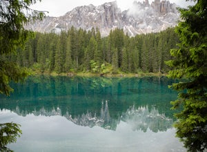
Loop hike around Lago Di Carezza
1 mi / 20 ft gainOne of the most scenic lakes in the Dolomites, this spot can be found right along the road as you drive by from Lake Garda toward Lago Di Brais. One of the richest and deepest blues in a glacial lake in the Dolomites. Definitely worth your time to stretch your legs and hike around this amazing s...Read more -
Barcis, Italy
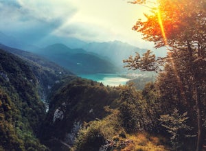
Hike to Sentiero del Dint
1.9 mi / 1722.4 ft gainThe colors of the water of this lake alone, from green to blue, a great reason to plan a trip to this magical place. But, you shouldn't miss out on the opportunity to follow the Dint Path, a trail through the woods near the Forra del Cellina Nature Reserve.The main path is easily accessible from ...Read more -
Obernberg am Brenner, Austria
Hike to the Lichtersee Lake
8.6 mi / 2198.2 ft gainPark at the large car park (paid parking) for the main Obernberg lake, but instead of following the trail to the lake, take the road on the right towards Haus Waldbauer. At the end of the paved road, a gravel road bends off to the right. Follow this gravel road as it leads you uphill and back al...Read more -
Jochberg, Austria
Hike to Blaue Lacke (Blue Lake)
8.2 mi / 2286.7 ft gainThe trail starts at Bruggeralm, a mountain hut above the town of Jochberg. Note that the hut is usually closed in June because of the low footfall. In July, Tuesdays are rest days. The trail starts off as a gravel path. You will pass another mountain hut, Jagerwurzhütte. At approximately 2.3km, ...Read more -
Jochberg, Austria
Hike to Sintersbacher Waterfall
6.2 mi / 2030.8 ft gainThe trail begins with an uphill on gravel through the forest, with the Sintersbach river to your left. The trail is shaded until it reaches the Sintersbacher waterfall. There is a bridge which will take you to the other side of the river, where the trail continues uphill for another 20 minutes in...Read more -
Gschnitz, Austria
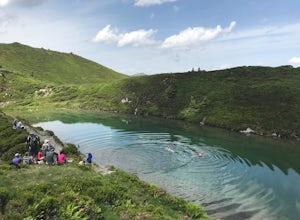
Hike to the Lapones Alm
1.1 mi / 508.5 ft gainThe Laponesalm hike is an easy family-friendly hike in the stunning Gschnitz valley in Tirol, Austria. Park the car at the paid parking at the end of the valley, and follow the asphalt road which is signposted towards the Lapones Alm. After about 15-20 minutes of walking, you'll come to a bridg...Read more -
Gschnitz, Austria
Hike to the Italian Border
9.9 mi / 4327.4 ft gainThe Gschnitz valley is one of my favourite places to hike in Tirol. Not only does it have some absolutely stunning scenery, but I've never experienced crowded trails whenever I've been there. This hike is an extension of another hike I've shared on here, to the Tribulaunhütte. Whilst we did take ...Read more -
Gschnitz, Austria
Hike to the Tribulaunhütte in Gschnitztal
7.5 mi / 2575.5 ft gainThe Tribulaun Hütte mountain hut in the Gschnitztal is one of the easiest mountain huts to reach in the area. Leave your car (or take the Post Bus) to the end of the Gschnitztal valley. Just past the car park, the trail up to the Tribulaun hut begins. The trail starts as a wide gravel road that s...Read more

