GermanyGarmisch Partenkirchen
Garmisch-Partenkirchen, Germany
Top Spots in and near Garmisch-Partenkirchen
-
Gschnitz, Austria
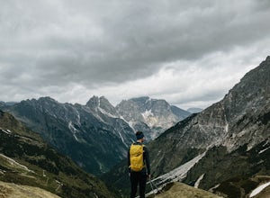
The Tribulaun Hütte mountain hut in the Gschnitztal is one of the easiest mountain huts to reach in the area.
Leave your car (or take the Post Bus) to the end of the Gschnitztal valley. Just past the car park, the trail up to the Tribulaun hut begins.
The trail starts as a wide gravel road that s...
Read more
-
Neustift im Stubaital, Austria
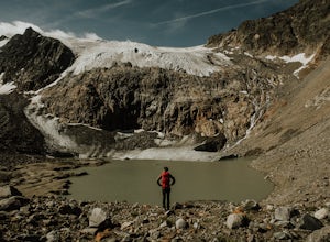
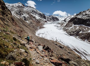
We spent the night before this hike at the Sulzenau hut, and woke up early to watch the sunrise over the glacier, which I highly recommend.
From the Sulzenau hut, follow the trail as it rises gradually up the valley floor towards the Sulzenau Ferner Glacier. On the route you'll follow a gushing s...
Read more
-
Obernberg am Brenner, Austria
Park at the large car park (paid parking) for the main Obernberg lake, but instead of following the trail to the lake, take the road on the right towards Haus Waldbauer.
At the end of the paved road, a gravel road bends off to the right. Follow this gravel road as it leads you uphill and back al...
Read more
-
Obernberg am Brenner, Austria
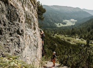
Whilst Innsbruck is known for being a top destination for world-class sport climbing, many of the most popular areas can get very busy, especially in the summer months.
This summer we discovered the small crag up at Obernberg and it quickly become one of our favourite places to climb.
The crag is...
Read more
-
Schwaz, Austria
Austria’s Zillertal Valley is a spectacular region of the Alps offering a plethora of hiking options. Locals as well as tourism hosts overwhelmingly recommended Olpererhütte! From Mayrhofen, a public transit bus delivers hikers directly to the trailhead. Mayrhofen is a great village to use as hom...
Read more
-
Bayrischzell, Germany
This adventure starts from the Munich Hbf. Catch an early morning 1.5 hour BoB ( Bayerische Oberlandbahn) train to Osterhofen (Oberbay.) Get on the train marked Tegernsee, but be careful, the train splits into 3 parts, so make sure you're on the car that goes to Osterhofen. It's usually the last ...
Read more
-
Landeck, Austria
Once you pass the toll station for the Kauntertal Glacier Road, you keep following the road past the reservoir and up to the waterfall and climbing garden. This is where you park the car and start the hike, following the signs for route 902 to the Rauhekopfhütte.For the first hour, your are mostl...
Read more
-
Sankt Anton am Arlberg, Austria
This demanding, but scenic route ascends from St Anton to St Christoph. Begin in town, following the trail under the Galzigbahn to the Sennhütte. From here, the trail is a bit more gradual as it traverses the valley. Eventually, you'll take a sharp right turn and climb sharply up many switchbacks...
Read more
-
Sankt Anton am Arlberg, Austria
Arlenweg Loop, easily accessible from St Anton, has views aplenty. If you go counter-clockwise, you can start from anywhere in central St Anton and head towards Nasserein. Follow signs for the Arlenweg. The trail climbs through lush forest for a bit before leveling off to traverse the mountainsid...
Read more
-
Sankt Anton am Arlberg, Austria
Starting from central St Anton, head west and follow signs for the Rossanaweg. The gravel path will pass under two tunnels, and then continues up the river. Follow signs for Verwallsee. The path climbs at a reasonable grade up the valley, alternating between singletrack trail and gravel paths. Ev...
Read more
-
Sankt Anton am Arlberg, Austria
I did this loop as a wonderful trail run, although it would also be possible to hike it in a long day, or split it up with a stay at Kaltenberghutte or Konstanzerhutte (book ahead).
Starting at St Cristoph (a short bus from the center of St Anton), the trail climbs sharply before leveling out an...
Read more

