Victoria, British Columbia
Top Spots in and near Victoria
-
18113 Upper Hoh Road, Washington
4.5
1.04 mi
/ 203 ft gain
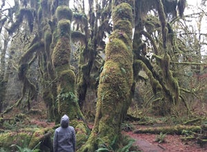
Starting at the Hoh Rainforest Visitor Center, take the only trail out into the forest itself. After a few hundred yards there will be a sign pointing you in the direction of the Hall Of Mosses. Follow signs and a very well-maintained trail over crystal clear creeks and fallen trees until you r...
Read more
-
-
Bellingham, Washington
2.0
0.45 mi
/ 125 ft gain
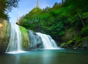
Pixie Falls can be accessed during any season; however it’s most enjoyable during the spring and summer months. This waterfall and swimming hole combo is the perfect way to escape the heat and the crowds. On any given day, there will typically be less than 10 people who access the falls. Pixie is...
Read more
-
Surrey, British Columbia
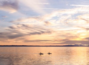
Crescent beach is a great place to end your day, by taking some sunset pictures. It often lights up the sky and really pops with colour. It is best to park at the main parking lot near the pier and start from there. The beach walk from the pier to the end is just over a kilometre, so is very shor...
Read more
-
Bellingham, Washington
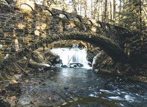
Whatcom Falls is easily accessible within Whatcom Falls Park. It is less than a 2 minute walk from the parking lot to the bridge overlooking Whatcom Falls.
This is a nice place to checkout with good company if you don't have a lot of time to enjoy the fresh air.
Read more
-
Brinnon, Washington
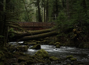
While this hike does not provide any sort of fantastic views, its does provide an easy ~13 mile roundtrip hike from the trailhead to a parking lot for the Upper Big Quilcene Trail which leads to Marmot Pass. Along the way you will cross several bridges, some large and wide, other simple log bridg...
Read more
-
27662-27664 Olympic Highway, Washington
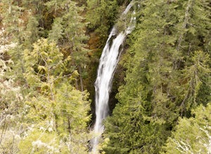
This hike is located immediately off of Highway 101 in the Falls View Campground. If the campground is closed you can park right outside of the gate (but don't block it) and hike in. Inside the gate you will see 3 paths in front of you, take a left and after about a quarter mile you will reach th...
Read more
-
Port Renfrew, British Columbia
The trail requires a permit from May 1 - September 16. All other dates have restrictions. Check Parks Canada website for more details.You can start from the north or south end of the trail. There are buses provided by the Pacific Rim National Park that will shuttle you back to your car or to the ...
Read more
-
Port Renfrew, British Columbia
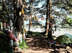
In the summer of 2016, myself and three others decided to hike the West Coast Trail (WCT) on a bit of a whim! We naively, and courageously, choose the WCT as our first major backpacking hiking trip - we thought it would be best to throw ourselves into a hike that has earned a reputation for being...
Read more
-
Port Renfrew, British Columbia
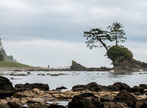
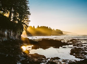
This is a gorgeous beach with so much going on. It's a quick walk from the parking lot (about .8 miles), or you can do the entire Botanical Beach Loop which is 3.5km. Go at low tide for amazing tidal pools and exploring caves if the tide is at its lowest. You can beach hop and climb up to some...
Read more
-
Surrey, British Columbia
Head over to this magical little park by the water. The forested area between the 2 entrances to the park has many large trees often used by eagles and hawks to survey the surrounding area for prey. The habitat functions of the marsh significantly contribute to the ecological value of the lower N...
Read more
-
Brinnon, Washington
Directions: From the Quilcene Ranger Station drive 4.6 miles south on US 101. Watch for the signs for Mount Walker View Point. Turn left onto Mount Walker Road. The trail head is about a quarter mile up the road with pull over parking on the left side of the road. In the winter and early spring, ...
Read more

