Victoria, British Columbia
Looking for the best photography in Victoria? We've got you covered with the top trails, trips, hiking, backpacking, camping and more around Victoria. The detailed guides, photos, and reviews are all submitted by the Outbound community.
Top Photography Spots in and near Victoria
-
Forks, Washington
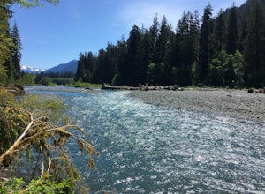
Hike the Hoh River Trail to Five Mile Island
10.6 mi / 300 ft gainOlympic National Park was established to preserve “the finest example of primeval forest” and so the Hoh Valley remains much like it has for thousands of years. This is the best trail to experience the magic of Hoh Valley, the grandeur of its old growth trees, lush understory and iridescent glaci...Read more -
Forks, Washington
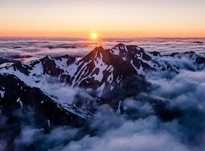
Climb Mount Olympus, Olympic NP
45 mi / 8000 ft gainGetting to the summit is no easy task. The approach is long, you must cross a glacier, and once you are to the summit block the easiest way up is on loose 4th class rock, however a short pitch of 5.4 rock is recommended instead. Getting there On your way to the trail-head you will need to stop a...Read more -
Forks, Washington
Backpack the Hoh River to Tom's Creek Campground
6 miOlympic National Park plays host to some incredible things, including the Hoh Rainforest. Known for its long hanging moss and crystal clear waters, it's easy to see why this is a popular destination. Spring is the perfect time of the year to visit, the weather is mild and the park is almost empty...Read more -
18113 Upper Hoh Road, Washington
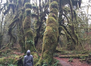
Hoh Rainforest and Hall Of Mosses
4.51.04 mi / 203 ft gainStarting at the Hoh Rainforest Visitor Center, take the only trail out into the forest itself. After a few hundred yards there will be a sign pointing you in the direction of the Hall Of Mosses. Follow signs and a very well-maintained trail over crystal clear creeks and fallen trees until you r...Read more -
Bellingham, Washington
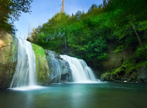
Pixie Falls
2.00.45 mi / 125 ft gainPixie Falls can be accessed during any season; however it’s most enjoyable during the spring and summer months. This waterfall and swimming hole combo is the perfect way to escape the heat and the crowds. On any given day, there will typically be less than 10 people who access the falls. Pixie is...Read more -
Surrey, British Columbia
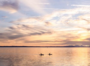
Catch a Sunset at Crescent Beach
5.0Crescent beach is a great place to end your day, by taking some sunset pictures. It often lights up the sky and really pops with colour. It is best to park at the main parking lot near the pier and start from there. The beach walk from the pier to the end is just over a kilometre, so is very shor...Read more -
Bellingham, Washington
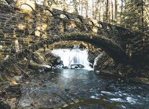
Whatcom Falls
0.13 mi / 20 ft gainWhatcom Falls is easily accessible within Whatcom Falls Park. It is less than a 2 minute walk from the parking lot to the bridge overlooking Whatcom Falls. This is a nice place to checkout with good company if you don't have a lot of time to enjoy the fresh air.Read more -
Port Renfrew, British Columbia
Backpacking the West Coast Trail
5.0The trail requires a permit from May 1 - September 16. All other dates have restrictions. Check Parks Canada website for more details.You can start from the north or south end of the trail. There are buses provided by the Pacific Rim National Park that will shuttle you back to your car or to the ...Read more -
Port Renfrew, British Columbia
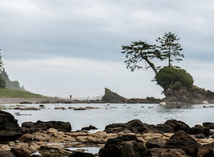
Explore Botanical Beach
5.01 miThis is a gorgeous beach with so much going on. It's a quick walk from the parking lot (about .8 miles), or you can do the entire Botanical Beach Loop which is 3.5km. Go at low tide for amazing tidal pools and exploring caves if the tide is at its lowest. You can beach hop and climb up to some...Read more -
Surrey, British Columbia
Hike the Elgin Heritage Park Nature Trail
4.02 miHead over to this magical little park by the water. The forested area between the 2 entrances to the park has many large trees often used by eagles and hawks to survey the surrounding area for prey. The habitat functions of the marsh significantly contribute to the ecological value of the lower N...Read more -
Brinnon, Washington
Hike to Mt. Walker North & South Viewpoints
3.04 mi / 2000 ft gainDirections: From the Quilcene Ranger Station drive 4.6 miles south on US 101. Watch for the signs for Mount Walker View Point. Turn left onto Mount Walker Road. The trail head is about a quarter mile up the road with pull over parking on the left side of the road. In the winter and early spring, ...Read more

