Squamish-Lillooet C, British Columbia
Looking for the best photography in Squamish-Lillooet C? We've got you covered with the top trails, trips, hiking, backpacking, camping and more around Squamish-Lillooet C. The detailed guides, photos, and reviews are all submitted by the Outbound community.
Top Photography Spots in and near Squamish-Lillooet C
-
Whistler, British Columbia
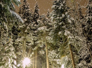
Hike along the Whistler Valley Trail Lit Section
1.2 mi / 164 ft gainThe best place to start you adventure on the Valley Trail at night is at the Whistler Golf Club - Directly across highway 99 from the whistler conference centre. From the parking lot (pay attention to pay parking times), walk west towards the clubhouse, where you will find the entrance to the Val...Read more -
Whistler, British Columbia
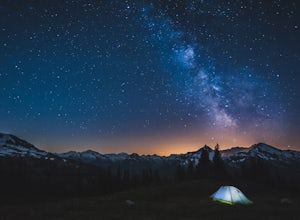
Backpack to Russet Lake
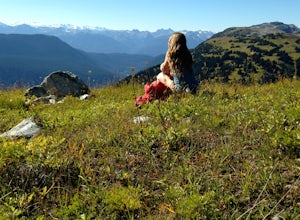
4.0Russet Lake is a beautiful alpine lake at the base of Fissile Peak in the backcountry of Garibaldi Provincial Park. This trip is well suited for two nights but can be accomplished in a full day without a pack.Your starting point is Whistler Village Gondola, then up the Peak 2 Peak Gondola to the ...Read more -
Whistler, British Columbia
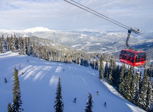
Ride the Peak to Peak Gondola
4.8From Whistler Village, purchase your Peak to Peak ticket at the main ticket booth (where you can also purchase ski passes and such). This ticket is good for one ride up the mountain, but then you can stay up there as long as you'd like.Once you have your ticket, head over to the Whistler Gondola...Read more -
Whistler, British Columbia
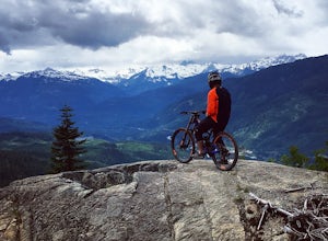
Ride the Whistler Mountain Bike Park
5.07 mi / 3000 ft gainWhistler mountain features multiple lift accessed riding areas for a wide range of skill levels. From beginner runs such as "EZ does it" all the way up to high speed jump lines "Dirt Merchant" and "A-line" Whistler offers a massive range of terrain to ride for beginners and experts. Fitzsimmons ...Read more -
Whistler, British Columbia
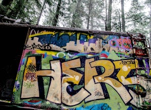
Hike to the Whistler Train Wreck
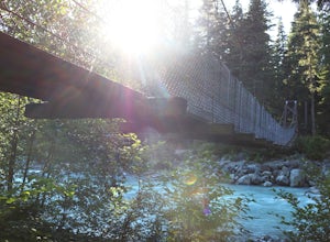
4.33.1 mi / 50 ft gainThe hike to the train wreck in Whistler changed significantly on September 1st, 2016. The town of whistler installed a suspension bridge over the Cheakamus river, allowing hikers to access the site from the whistler athletes centre, down a well maintained path. There are two options to get to the...Read more -
Whistler, British Columbia
Relax at Alpha Lake Park
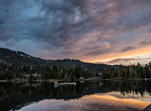
1 miLocated in Whistler Creekside, Alpha Lake Park is one of Whistler's hidden gems. Just off of Lake Placid road on the North Side of the Highway, there is lots of parking in the parking lot, or it is accessible directly via the valley trail for walkers and bikers. To access, turn on to Lake Placid ...Read more -
Whistler, British Columbia
Hike the Musical Bumps Trail
15.5 miThe Musical Bumps are a series of rolling summits starting from Whistler Mountain that stretch over to Fissile and the Spearhead Range. It should come as no surprise that each one has a musical name: Flute, Oboe and Piccolo.There are two ways to access this area: you can ride the Whistler Village...Read more -
Whistler, British Columbia
Camp at Cal-Cheak
4.7Where the beautiful Callaghan and Cheakamus Rivers converge, there is a great campsite aptly named after these two turquoise rivers. This is a quiet area, shaded by huge stands of West Coast forest, and easily accessible from HWY 99, about 20 minutes south of Whistler Village.Hiking and mountain ...Read more -
Whistler, British Columbia
Ski the "Peak To Creek" in Whistler
4.0Start at the Creekside Gondola in the Whistler Creekside Village - The village that is closest to Vancouver. There is generally lots of parking in the parkade, although it can get very busy on the weekends. You will need a lift pass, which you can buy at guest services at the base of the Gondola....Read more -
Whistler, British Columbia
Explore the Cheakamus Forest on Snowshoes
5.03.1 miSnowshoeing is one of the best ways to experience true solitude in the beautiful snowy mountain landscape. The area surrounding the Cheakamus Crossing neighbourhood of Whistler has some of the very best low elevation snowshoeing in the valley.Riverside and Suspension Bridge Loop:A great 5km loop ...Read more -
Whistler, British Columbia
Explore Brandywine Falls
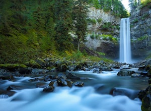
4.40.6 miBrandywine Falls is a spectacular 70 metre waterfall. It is best seen from the viewpoint which also presents some marvelous views of Daisy Lake and the surrounding mountains. But you can also get to the bottom with a bit of scrambling down the side of the cliff.Brandywine Falls is located along t...Read more -
Whistler, British Columbia
Hike the Cheakamus Lake Trail
3.58.7 miCheakamus Lake is tucked in behind Whistler Mountain. If you've hike the Musical Bumps trail, or any of the paths off the peak of Whistler, chances are you saw a huge turquoise lake below you. This is Cheakamus Lake.From Whistler Village, drive south on HWY99 to the stop lights at Function Juncti...Read more -
Squamish-Lillooet C, British Columbia
Joffre Lakes Trail
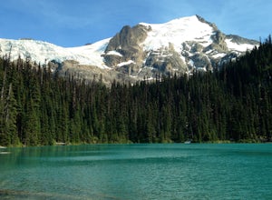
4.65.67 mi / 1266 ft gainJoffre Lakes is a well loved destination, and for good reason: it is absolutely stunning. Not only is it located on one of the most scenic drives you could ever hope to find (Duffy Lake Road) , but it's possible to enjoy this area no matter how much time you have, or how much hiking you want to d...Read more -
Squamish-Lillooet C, British Columbia
Backcountry Camp Upper Joffre Lake
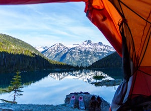
3.03.1 mi / 2952.8 ft gainJoffre Lakes Provincial Park is located roughly three hours from Vancouver north of Whistler and Pemberton on Highway 99 (Sea-to-Sky Highway). The drive itself up to the trailhead is very scenic and worth it in itself. Once you get to the parking lot, park your car anywhere in the lot and consi...Read more -
Squamish-Lillooet C, British Columbia
Snowshoe Joffre Lakes
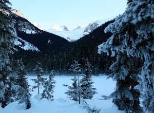
6.2 mi / 1312.3 ft gainThe Canadian west coast mountains around Whistler BC receive over thirty feet of snow each winter. This area is well known for epic skiing and snowboarding, and it's also a really fun place to go snowshoeing. Here's a winter version of the incredible Joffre Lakes adventure (see my profile to read...Read more -
Lytton, British Columbia
Explore Lillooet Lake
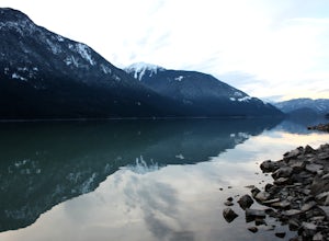
Lillooet Lake sits at the bottom of the Duffey Lake Road, just past the village of Mt Currie. In 2010, Mt Meager experienced a landslide totalling 48 million cubic metres, the largest in modern Canadian history. Sitting directly upriver of Lillooet Lake, the Meager slide turned this beautiful tur...Read more

