Salt Spring Island, British Columbia
Looking for the best hiking in Salt Spring Island? We've got you covered with the top trails, trips, hiking, backpacking, camping and more around Salt Spring Island. The detailed guides, photos, and reviews are all submitted by the Outbound community.
Top Hiking Spots in and near Salt Spring Island
-
West Vancouver, British Columbia
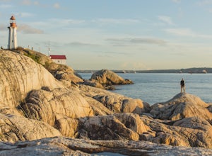
Explore Lighthouse Park
4.5To get to Lighthouse Park, head westbound along Marine Drive in West Vancouver. As Marine Drive continues past little shops and businesses, it will begin to narrow and the road will wind around the coastline. Continue past Caufield Cove Marina and watch for the Lighthouse Park sign on your left. ...Read more -
Port Renfrew, British Columbia
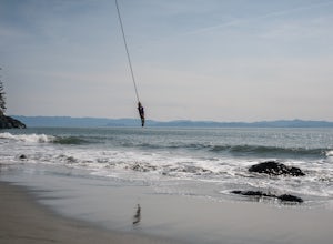
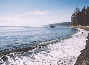
Hike to Mystic Beach
5.0Head west from Victoria along Highway 14 past Sooke and Jordan River until you see the Juan De Fuca Marine Trail - China Creek trailhead about 5km past Jordan River on the West Coast Road. Ample signage, parking, and outhouses are available here.The trail taking you to Mystic Beach is just one s...Read more -
Surrey, British Columbia
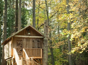
Stroll through Redwood Park in Surrey, BC
3.01.2 miRedwood Park is large beautiful forested park in South Surrey. The park is a legacy of one of Surrey's early pioneer's, David Brown, who in 1893 gave the property to his twin sons, David and Peter. The Brown twins spent much of their life traveling the world collecting the seeds and saplings of e...Read more -
West Vancouver, British Columbia
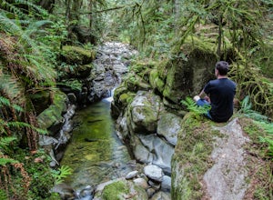
Hike to Cypress Falls in West Vancouver
4.03.1 mi / 400 ft gainDrive the the end of Woodgreen Pl in West Vancouver, and you will pass the tennis courts on your right. You will see a little dirt road that heads up into the woods on your left - drive up this road ~30 feet into the parking lot. From the Parking lot, hike up the trail beside cypress creek (this ...Read more -
Bowen Island, British Columbia
Hike Mount Gardner on Bowen Island
10.6 mi / 2358.9 ft gainMount Gardner is the highest point on Bowen Island. I love visiting Bowen. It is a 20 minute ferry ride from Horseshoe Bay but feels a world’s away from the city. I climbed to the top of Mount Gardner a few years ago during the summer, but had yet to do it in the winter. I was excited to see wha...Read more -
Blakely Island, Washington
Hike and Camp at James Island
If you're looking for a weekend camping getaway to a small San Juan Island and you have a boat of substantial size or experience sea kayaking, this is the adventure for you!Launch your boat from Washington Park in Anacortes and cruise or sea kayak across Rosario Straight to James Island. There i...Read more -
West Vancouver, British Columbia
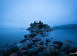
Explore WhyteCliff Park, West Vancouver
4.4Escape to the vanishing horizon of the Pacific Ocean, where time is measured by the rhythm of waves.Located near West Vancouver's Horseshoe Bay neighbourhood, Whytecliff Park is home to more than 200 marine animal species and is one of the first Marine Protected Areas in Canada. You're almost gua...Read more -
North Vancouver, British Columbia
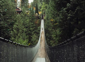
Explore the Capilano Suspension Bridge
3.8This is a great place to visit to get a feeling for the outdoors of Canada. The bridge is a little scary when a lot of people are walking across, but it is well worth the look.Measuring 140 m (460 ft) long, the bridge crosses over the Capilano River in the District of North Vancouver, British Col...Read more -
West Vancouver, British Columbia
Hike Up Brothers Creek Loop
4.3 mi / 1312.3 ft gainThe directions to get to this location are a bit scattered as you need to weave through the upper streets of the British Properties. Driving Instructions If you are coming along Highway #1, take the Taylor Way exit and turn right (coming from the east) or left (coming from the west) onto Taylor W...Read more -
Youbou, British Columbia
Hike Green Mountain, BC
3.03.1 mi / 985 ft gainGreen Mountain is located out in the Nanaimo Lakes area and used to be a ski hill back in the 60's. There was a lodge and even a t-bar to get you up the hill (both of which are nothing more than dilapidated remains now). The mountain's ski-based past becomes apparent as you hike up through countl...Read more -
West Vancouver, British Columbia
Snowshoe Hollyburn Mountain
5.06.5 mi / 450 ft gainPark in the Hollyburn cross country parking lot and start your hike up the under the powerlines. After about 15 mins the trail will flatten out and you will arrive at the warming hut. Take a left and follow the orange markers as it slowly weaves its way through a series of trees and valleys.Event...Read more -
Lopez Island, Washington
Watmough Bay Trail
4.01.59 mi / 453 ft gainThe Watmough Bay Trail on Lopez Island, Washington, is a moderate-level hiking trail that stretches for approximately 1.59 miles. The trail is known for its unique natural features, including a prominent cliff face, a pebble beach, and a protected bay. The trail is relatively flat, making it acce...Read more -
North Vancouver, British Columbia
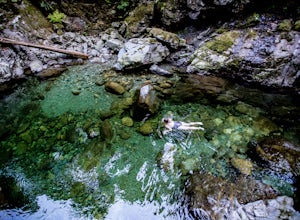
Swim at the Lynn Canyon Swimming Hole
4.50.6 mi / 50 ft gainFrom the last field at inter city park, continue walking down the road to the Lynn Canyon trail. Follow the trail up the wooden boardwalks and to the first open area on the trail. When you can see the creek to your left, head down to the creek. To get to this particular swimming hole, you will ha...Read more -
Ferndale, Washington
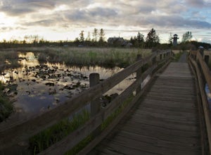
Take a Stroll through Hovander Homestead Park
5.01.4 mi / 0 ft gainDriving up to the park entrance: take a right to drive towards the barnyards, playgrounds, covered picnic areas, historic house and community gardens, and access to the Snoqualmie River. Or, drive straight and park outside of the fragrance gardens and historic house/ museum, and take a walk to a...Read more -
Port Renfrew, British Columbia
Camp and Surf at Sombrio Beach
5.01 miHeading west from Victoria, take the TransCanada Highway to Hwy 14. Continue past Sooke towards Port Renfrew. Look for the sign that reads Sombrio Beach Trailhead (approximately 45 minutes past Sooke) and take the left. Note that this dirt road can be incredibly rugged (aka full of potholes) and ...Read more -
West Vancouver, British Columbia
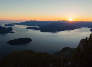
St Mark's Summit
4.46.45 mi / 1801 ft gainFrom the Cypress Mountain downhill parking lot, head north toward the nearby chairlift and look for the Howe Sound Crest Trail sign. The trail follows alongside the several ski runs until a sign that points to the right to the Howe Sound Crest Trail. Follow this trail uphill until it merges onto ...Read more

