Port Alberni, British Columbia
Looking for the best photography in Port Alberni? We've got you covered with the top trails, trips, hiking, backpacking, camping and more around Port Alberni. The detailed guides, photos, and reviews are all submitted by the Outbound community.
Top Photography Spots in and near Port Alberni
-
Comox-Strathcona C, British Columbia
Century Sam Lake
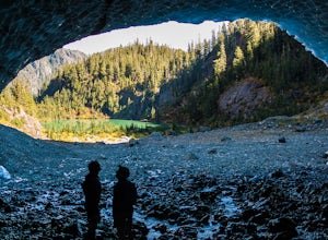
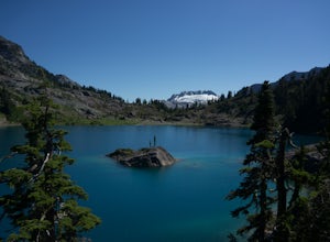
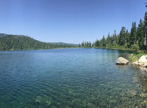
4.03.62 mi / 1342 ft gainThe next time you have the opportunity, I recommend you pay Century Sam Lake a visit. This short day hike complete with a spectacular emerald green lake, towering rock cliffs and summer snow caves make this a 'must do' for mid Island adventurers. This day hike is a well kept secret – and often...Read more -
Courtenay, British Columbia
Paddle the Courtenay River Estuary
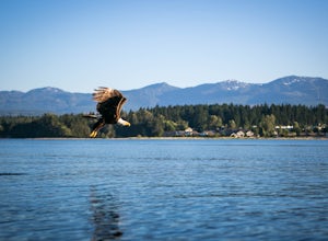
Mixing of sea and river waters at the Courtenay River Estuary means its an abundant place for wildlife. Coupled with incredible views of the Comox Glacier to the west, it's no wonder this is a popular spot to paddle in the small island town of Courtenay. Head over to Comox Valley Kayaks and Cano...Read more -
Bamfield, British Columbia
Swing on the West Bamfield Rope Swing
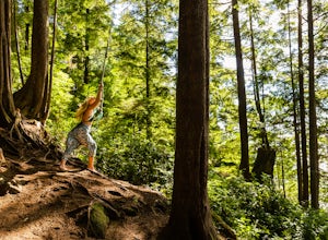
5.0On the island of West Bamfield, accessible only by foot and by taking a ferry from East Bamfield, itself only accessible via a 60 mile brutal dirt road from Port Alberni, is a taste of the free-wheeling, regulations-be-damned old-Vancouver-Island-made-manifest in an epic rope swing that hurls its...Read more -
Alberni-Clayoquot A, British Columbia
Kayaking the Broken Group Islands
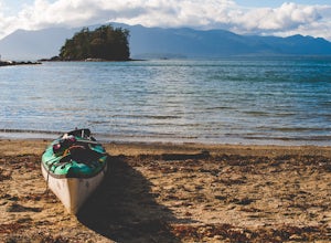
The Broken Group Islands are an internationally acclaimed sea kayaking destination. They can only be done properly on a multi-day trip and it’s not recommended for novice paddlers. The stunning archipelago located on the west coast of Vancouver Island features hundreds of islands, lagoons, caves,...Read more -
Comox-Strathcona C, British Columbia
Hike Mount Becher
Trail access begins at the end of Forbidden Plateau Road, at the site of the old abandoned ski lodge. It is an ugly place to begin a hike to such a beautiful summit, but do not let that deter you. Past the trash of forest parties, around the remnants of the old ski lodge and over the washed out r...Read more -
Alberni-Clayoquot A, British Columbia
Hike to Keeha Beach
5.03.7 miFar on the west coast of Vancouver Island, accessed only by a harrowing dirt road, is a wild and rugged coast begging to be explored. Bamfield is about a 3 hour drive from Nanaimo, half of which is on the gnarliest (and most active) logging road I've ever been on - and I grew up driving on loggin...Read more -
Nanaimo, British Columbia
Hike to Ammonite Falls
4.82.69 mi / 558 ft gainThe falls cascades off of a sheet of rock that is filled with Ammonite fossils, thus the name Ammonite Falls! The trailhead is very distinct and has a parking lot close to the start of the trail. From the Nanaimo Parkway (#19) head onto Jingle Pot Road. Follow that for a few kilometres and turn ...Read more -
Nanaimo, British Columbia
Catch a Sunset at Sugarloaf Mountain
You can easily put Sugarloaf Mountain Park into your GPS when in Nanaimo, but lets, just say you have an old school map. First make your way from the Island Highway onto Departure Bay Rd. Just before you get to Hammond Bay Rd turn onto Little John Way and take your first left, then take your firs...Read more -
Nanaimo, British Columbia
Scramble Down to Nanaimo's Hidden Cove
Firstly, use google maps to take you to Stephenson Rd in Nanaimo. About a mile down, the road forks, follow the left road (It says no exit, but the road just ends at a property so you will need to turn around to get back out). Continue down the road another half mile or so and you will see a smal...Read more -
Ucluelet, British Columbia
Hike the Wild Pacific Trail
4.62.5 miDrive south west on Coast Guard drive to the parking lot for the wild coast trail to your left (where the pin is). Park in the parking lot, and head to the trailhead where the big sign board is. We completed the lower loop in approximately one hour, but you can continue up the coast all the way i...Read more -
Ucluelet, British Columbia
Hiking Willowbrae to Halfmoon Bay and Florencia Bay
The Willowbrae trailhead is not marked along the Tofino Ucluelet highway and the turnoff is easy to miss. Driving from Tofino look for Willowbrae Road on the right hand side, 2 kilometers past the Port Alberni junction. From Ucluelet this road is on the left, 5 kilometers from town. Drive up...Read more -
Comox-Strathcona D, British Columbia
Hike to Cream Lake, BC
12.4 mi / 1312.3 ft gainThe hike to Cream Lake starts at the trailhead for the Bedwell Lake trail, which you can find directions to here.From Bedwell Lake the trail to Cream Lake heads Eastward from the campground (past the outhouse), and begins climbing steadily. Shortly you will reach a waterfall with the trail climb...Read more -
Comox-Strathcona D, British Columbia
Exploring Myra Falls
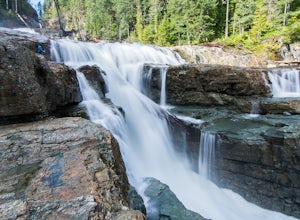
5.00.6 miThese beautiful falls are just a short and easy 500 metre stroll from the parking lot, making this one of the more family-friendly hikes in the area. Located at the end of the trail are the 75 metre cascading falls and spectacular views of Buttle Lake.Located approximately 1 1/2 hours north of th...Read more -
Comox-Strathcona D, British Columbia
Hike to Flower Ridge
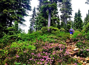
20 mi / 5445 ft gainWith a name like Flower Ridge, who wouldn't want to add this hike to their bucket list?The Flower Ridge trailhead is located approximately 26kms down the Buttle Lake Parkway, towards Westmin Mine, in Strathcona Provincial Park. A classic Island alpine approach, you will be more than warmed up af...Read more -
Comox-Strathcona C, British Columbia
Backpack to Circlet Lake Campground
13.9 mi / 2664 ft gainIf you are looking for a beautiful, stress-free campground nestled in the mountains far from the city but within a morning's drive and a day's walking distance, suitable for the whole family and offers tons of activities, Circlet Lake is the right choice for you. It features an alpine lake that i...Read more -
Comox-Strathcona C, British Columbia
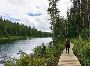
Lake Helen Mackenzie Loop
5.05.32 mi / 607 ft gainThe trail head starts at the Raven Lodge parking lot on Nordic Drive. Once at the trail head, follow the trail and turn right on the Hellen Mackenzie/ Battleship Lake trail loop. This boardwalk/ dirt trail will take you around beautiful meadows filled with blueberries (in the fall season), stream...Read more

