Parson, British Columbia
Looking for the best photography in Parson? We've got you covered with the top trails, trips, hiking, backpacking, camping and more around Parson. The detailed guides, photos, and reviews are all submitted by the Outbound community.
Top Photography Spots in and near Parson
-
Sawback, Alberta
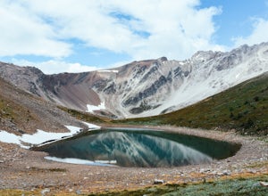
Hike to Bourgeau Lake and Harvey Pass
5.012.5 mi / 3360 ft gainThe trailhead for Bourgeau Lake/Harvey Pass is on the west side of Trans-Canada Highway approximately 5 miles west of Banff. The turn-off is approximately 0.9 miles past the Sunshine Village Ski Resort exit. There is a small parking lot and a restroom at the trailhead. Enter through the gate to...Read more -
East Kootenay G, British Columbia
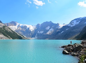
Hike to Lake of Hanging Glaciers
5.0Do you like rushing rivers, impressive waterfalls, serene forests and massive glaciers? How about glacier fed lakes, epic mountains and starry nights to boot? This is it, all of it in one place.Beginning at the trailhead 50km west of Radium in British Columbia, this 16km hike runs over and around...Read more -
Sawback, Alberta
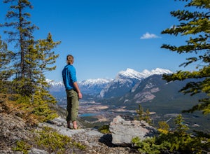
Climb Mt. Cory
3.0Park at the viewpoint parking lot on the left side of the highway, approximately 2.8 km (1.7 mi) after turning off of the Trans Canada Highway. The trailhead is easily located on the north side of the highway. The approach is short but steep and sustained. It starts as a trail and finishes as a s...Read more -
Rogers Pass, British Columbia
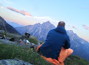
Camp at Hermit Meadows
4 mi / 2559.1 ft gainThe trail head is located between the Rogers Pass Discovery Center and the Tupper. It's a good idea to head into the Discovery Center first and book the campsites as they do require pre-booking to use, and the fines can be steep. Campfires are banned at this campsite as it is a fragile alpine eco...Read more -
Improvement District No. 9, Alberta
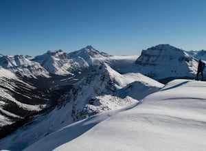
Snowshoe up Crystal Ridge
2.04.3 mi / 2099.7 ft gainFor anyone looking to leave crowds behind but still have a killer day, Crystal Ridge might be up your alley! On an unseasonably warm January Saturday, I was the only one to access the trail. My singular trail was the only blemish on the pristine field of snow.The trailhead is located in the north...Read more -
Improvement District No. 9, Alberta
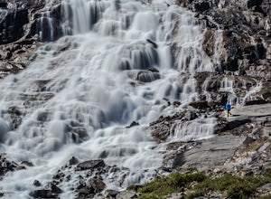
Hike to Bow Glacier Falls
5.05.6 mi / 508.5 ft gainThe trailhead begins directly behind the Num-Ti-Jah Lodge on km 37 of the Icefields Highway. The trail is well marked and winds along the shore of Bow Lake for the first 1.2km of the hike. Eventually you will lead up to a narrow gorge and onto the crest of a glacial moraine. There are only a few...Read more -
Improvement District No. 9, Alberta
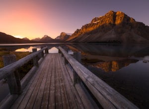
Watch the Sunrise at Bow Lake, Banff NP
5.0Make sure check the sunrise time and to try to arrive 30 minutes to an hour before. If you're driving north or south along the Icefields Parkway, you'll see a sign for Bow Lake, it's about 38km north of Lake Louise. There are two pull-offs for the lake, if you're heading north take the second roa...Read more -
Edgewater, British Columbia
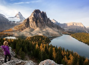
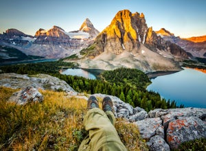
Explore Mount Assiniboine Provincial Park
5.0Mount Assiniboine Provincial Park is a UNESCO World Heritage Site sequestered 27 km from the nearest road. We took a helicopter in, and hiked out . You can also hike both ways, but the hiking once you are there is more amazing than on the way in. You can also ski in on backcountry skis in the Win...Read more -
Edgewater, British Columbia
Hike to Nub Peak
5.07.3 mi / 2789 ft gainStarting right at Mt. Assiniboine Lodge, there is very clear signage for this hike. The arrows will lead you over a wooden walkway right before you begin a gentle assent through the woods,gaining elevation the further you go, and then arrive at The Nublet which is before the peak. The Nublet has ...Read more -
Banff, Alberta
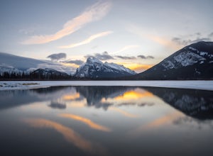
Explore Vermillion Lakes in Banff National Park
4.7Vermillion Lakes is one of the best spot's in Banff to catch a sunrise or sunset depending on the season. Although it's one of the most popular locations for photographers, there are so many different areas around the lakes that you'll never feel like it's too crowded. Mount Rundle can be photogr...Read more -
Banff, Alberta
Snowshoe Mt. Norquay
2.2 mi / 1000 ft gainFrom Banff:Take the shuttle from the town lot to Mt. Norquay Ski Lodge, it is $10 CAD one way or $15 roundtrip, but you may want to walk back. If you decide to walk back there are two options; the road or the beautiful mountain trail. The trail head can be easily picked up in the parking lot, hik...Read more -
Banff, Alberta
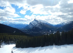
Take in the View at the Mount Norquay Green Spot
3.5The "Green Spot" is a beautiful grassy slope that opens up to sweeping views of downtown Banff and the surrounding area. It's a great spot for photography, especially capturing the peak of Mt. Rundle. There's also a set of chairs conveniently placed on the slope so you can kick back and enjoy t...Read more -
Banff, Alberta
Hike to the Hoodoos, Banff
5.03 mi / 295.3 ft gainThe beginning of this hike is easily accessed from the town center of Banff by the Bow river. Perfect for those without a car! Follow the trail on the side closest to town as it leads up the Bow River and into the forest following the signs for Hoodoos Loop.The hike is 4.8km one way, leading arou...Read more -
Banff, Alberta
Dawn to Dusk in Banff National Park
5.06.8 miThis is a micro adventure in one of the world’s most desired National Parks. The common excuse for those who tend to skip the great outdoors is lack of time. This one day adventure is an example that you can cram a lot into a day! Dawn: Sunrise hike up to South Ridge in Banff. Start at the famous...Read more -
Improvement District No. 9, Alberta
Explore Lake Minnewanka
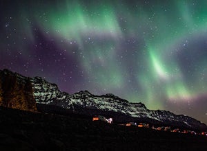
4.2Head up to Lake Minnewanka on a high alert night to get the perfect view of the Canadian Northern Lights. You can go online to get updates on the best times to go and where they will be the brightest. While the dam at the lake may be overrun with people, explore around and you can find a nice emp...Read more -
East Kootenay F, British Columbia
Hike to Jumbo Pass
6 mi / 2200 ft gainFrom Invermere, British Columbia, head West towards Panorama Ski Area on Toby Creek Forest Service Road. At the turnoff for the bridge that heads towards Panorama, set your trip odometer to 0. At a fork in the road at about 12 miles, stay right on Jumbo Creek Road. In another mile, stay left. At ...Read more

