Mission, British Columbia
Looking for the best hiking in Mission? We've got you covered with the top trails, trips, hiking, backpacking, camping and more around Mission. The detailed guides, photos, and reviews are all submitted by the Outbound community.
Top Hiking Spots in and near Mission
-
Bow, Washington
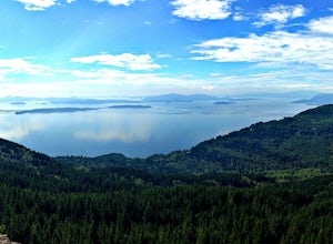
Oyster Dome via Chuckanut Trail
4.36.57 mi / 1857 ft gainThe trail begins on the Pacific Northwest Trail, which ascends quickly up the side of Blanchard Mountain. The trail contains several switchbacks which wind through second-growth alder, Western red cedar, and Douglas fir forest. After about one mile there is an overlook with a bench that offers a...Read more -
Whatcom County, Washington
Climb Ruth Mountain and Icy Peak
5.017 mi / 6000 ft gainThis is a great introductory glacial climb in the North Cascades with moderate glacial slopes and 4th class scrambling. The reward is outstanding views of the Picket Range, Mt Shuksan and the dramatic Nooksack Cirque. Even though this climb is easy it can be demanding and requires individuals to ...Read more -
Concrete, Washington
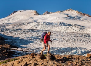
Climb Mt. Baker via the Easton Glacier Route
16 mi / 7600 ft gainThe Easton Glacier route is one of the mountain’s most popular and likewise, most crowded. Check out Mt. Baker’s Squak Glacier route or Coleman Deming Glacier route for an alternative climb with similar difficulty.You’ll start out at Schreibers Meadow Trailhead (3,200 ft.). To get there, exit off...Read more -
Concrete, Washington
Climb Mt. Baker via Squak Glacier
10 mi / 7500 ft gainNOTE: THIS ROUTE REQUIRES GLACIER TRAVEL SKILLSMt Baker, or Kulshan, is a remarkable mountain in northwest Washington. Whether you're in Anacortes, Bellingham, Vancouver or on the San Juan Islands you can see Mt Baker standing as a citadel over the Northwest. Unlike the more popular routes like t...Read more -
Concrete, Washington
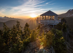
Park Butte Lookout
4.57.64 mi / 2100 ft gainThis place is really the stuff of fairy tales. Where else can you find a tiny cabin with 360-degree views of stunning mountain scenery? To the west, you can see all the way to Bellingham and the Puget Sound. To the south and east lie the jagged North Cascades. And the entire northern horizon is ...Read more -
Concrete, Washington
Backpack the Easton Glacier Railroad Grade
10 mi / 3000 ft gainBegin at the Park Butte trailhead, trail 603. Hike past the first Scott Paul trail sign a few hundred feet from the trailhead. Continue on and cross appropriately name Rocky Creek heading up on the Park Butte Trail. Continue up the Park Butte trail passing the Scott Paul trail again at about 4,50...Read more -
Concrete, Washington
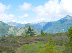
Rainbow Ridge
4.51 mi / 1552 ft gainThe Trail From the parking area proceed back towards the road and hang a right up an abandoned road bed. The trail follows this road bed for a about 0.2 miles before the real trail becomes evident. The first 0.5 - 1.0 miles of this trail can be difficult. Deadfall, wet, steep, and root covere...Read more -
Concrete, Washington
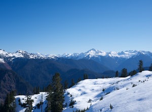
Winter Hike to Rainbow RIdge
4.5 mi / 1200 ft gainTurn left off of the Grandy-Baker Lake Road onto FS RD 1130 just past the Boulder Creek Campground. Stay right at the first fork in the road. At 3.9 miles go right towards Rainbow Falls. The falls are located at a large bend in the road at approximately 4.5 miles. I have never found a good safe...Read more -
North Vancouver, British Columbia
Hike Goat Mountain
4.05 mi / 984.3 ft gainGoat Mountain is a picturesque hike that starts from the top of the Grouse Mountain Ski Resort. On a sunny, clear day, the top of Goat Mountain can offer views of Vancouver and even as far away as Mount Baker, Vancouver Island, and some of the mountain ranges in Garibaldi Provincial Park near Squ...Read more -
North Vancouver, British Columbia
Explore the Capilano Suspension Bridge
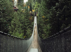
3.8This is a great place to visit to get a feeling for the outdoors of Canada. The bridge is a little scary when a lot of people are walking across, but it is well worth the look.Measuring 140 m (460 ft) long, the bridge crosses over the Capilano River in the District of North Vancouver, British Col...Read more -
North Vancouver, British Columbia
Hike Crown Mountain
5.06.1 mi / 1263.1 ft gainYou can take the gondola up Grouse Mountain and then hike from there which roughly takes around 5 hrs at a decent pace. The hike is a hard one that is a lot of up and down and a fair bit of climbing.You can start at the top of the Skyride on Grouse Mountain, follow the paved path to the grizzly b...Read more -
Fraser Valley E, British Columbia
Hike to Lindeman & Greendrop Lakes
4.46.89 mi / 1240 ft gainYou start the trail in a newly created parking lot (outhouses as well). Follow along the trail, and within a short distance from the parking lot you will come to a fork. Take the left trail (right goes to Flora Lake). This part of the trail is fairly flat with some nice scenery. You will follow t...Read more -
Fraser Valley E, British Columbia
Hike to Porcupine Peak
6.8 mi / 4265.1 ft gainPorcupine Peak (also known as Goat Peak) is a little known trail that begins beside the popular Lindeman and Greendrop Lakes trailhead. The hike is tough, going straight uphill for a significant portion, with some ups and downs right before reaching the peak. The trailhead is a bit tricky to fin...Read more -
Hope, British Columbia
Hike to Flood Falls, British Columbia
5.00.6 mi / 262.5 ft gainYou can see the waterfall up high cascading down to the ground from where you park. Once you get to the trailhead and park on the side of the road, follow the trail toward the waterfall. The trail is a bit rough in spots with lots of roots, so be careful where you step. On the way to the falls, t...Read more -
Olga, Washington
Hike to the Mount Constitution Summit
5.07 mi / 1500 ft gainThis 7 mile round-trip hike takes you to the mountain's summit. From here you'll be able to take in an amazing view. During the hike, you'll head around the left side of Mountain Lake, and then continue on to Twin Lakes, before starting your jaunt to the top of Mt. Constitution. The hike around ...Read more -
West Vancouver, British Columbia
Hike Up Brothers Creek Loop
4.3 mi / 1312.3 ft gainThe directions to get to this location are a bit scattered as you need to weave through the upper streets of the British Properties. Driving Instructions If you are coming along Highway #1, take the Taylor Way exit and turn right (coming from the east) or left (coming from the west) onto Taylor W...Read more

