Langford, British Columbia
Looking for the best photography in Langford? We've got you covered with the top trails, trips, hiking, backpacking, camping and more around Langford. The detailed guides, photos, and reviews are all submitted by the Outbound community.
Top Photography Spots in and near Langford
-
Port Renfrew, British Columbia
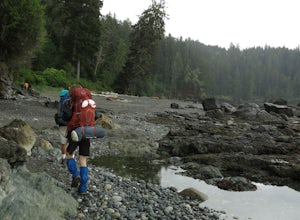
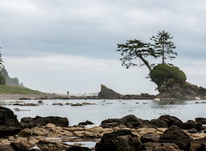
Hiking the Juan de Fuca Marine Trail
5.029.2 miThis is no walk on the beach. There are many ascents and descents that range from not so steep to hold on for your life as the mud cliff crumbles steep. You might think 200m of elevation gain isn't much, but it is a constant ascend and descend trail in the moderate-difficult sections.A high level...Read more -
Coupeville, Washington
Hike Ebey's Landing
4.5Just walk straight past the restroom to find the start of the trail route. The Bluff trail heads up a set of stairs to the top of the hillside on the right. After climbing the stairs, you come right up on farmland (Ebey's Prairie), with a grassy two-track trail leading up toward the top of the bl...Read more -
Anacortes, Washington
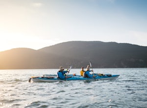
Kayak Camp on Cypress Island
16 miWe set out from the town of Anacortes, WA from Seafarers Memorial Park with a group of 6 people. Two in single kayaks and four in two tandem kayaks. After setting out into the water, keep to the west of Guemes island and follow the shoreline for a shorter trip or follow the east side for a longer...Read more -
Delta, British Columbia
Take a Sunset Ride on the Tsawwassen-Swartz Bay Ferry
4.0You can walk on or take your car on the ferry. Either way gets you to the same views. Make sure you sit on the right side of the boat (and it sometimes turns around once leaving the dock). Set up on the upper deck, and prepare yourself for an unbelievable show. Make sure you check out the onboard...Read more -
Port Renfrew, British Columbia
Backpacking the West Coast Trail
5.0The trail requires a permit from May 1 - September 16. All other dates have restrictions. Check Parks Canada website for more details.You can start from the north or south end of the trail. There are buses provided by the Pacific Rim National Park that will shuttle you back to your car or to the ...Read more -
Sequim, Washington
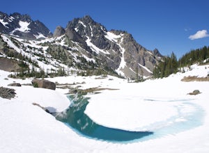
Hike to Royal Basin
4.715.76 mi / 3409 ft gainIf you're looking for a long day hike or multi-night backpacking trip in the Olympics, add Royal Lake and Royal Basin to your adventure list! The first mile of trail along the Dungeness River gains a gentle 300 feet. When you reach the bridge, do not cross it (the trail across the bridge goes...Read more -
Port Renfrew, British Columbia
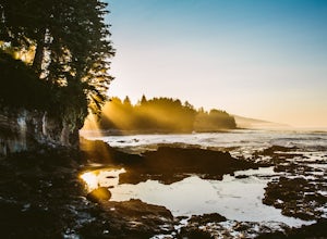
Explore Botanical Beach
5.01 miThis is a gorgeous beach with so much going on. It's a quick walk from the parking lot (about .8 miles), or you can do the entire Botanical Beach Loop which is 3.5km. Go at low tide for amazing tidal pools and exploring caves if the tide is at its lowest. You can beach hop and climb up to some...Read more -
Port Renfrew, British Columbia
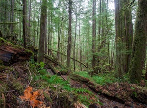
Hiking through the Avatar Grove
To get to the Avatar Grove, drive to Port Renfrew along West Coast highway 14. Turn right onto Deering Rd and cross the long bridge over the San Juan River. Stay right at the next Y intersection, and then left at the T intersection. At the next Y keep left and cross a tall bridge over the crys...Read more -
Forks, Washington
Backpack the Hoh River Trail
5.035.69 mi / 5948 ft gainGrab a permit on your way in at the Wilderness Information Center (WIC) in Port Angeles or at the Quinault USFS/NFS Recreation Information center before parking at the Hoh Rain Forest Visitor Center and use the wash station and rest room before you head out on the trail. The first five miles of...Read more -
Forks, Washington
Hike the Hoh River Trail to Five Mile Island
10.6 mi / 300 ft gainOlympic National Park was established to preserve “the finest example of primeval forest” and so the Hoh Valley remains much like it has for thousands of years. This is the best trail to experience the magic of Hoh Valley, the grandeur of its old growth trees, lush understory and iridescent glaci...Read more -
Forks, Washington
Climb Mount Olympus, Olympic NP
45 mi / 8000 ft gainGetting to the summit is no easy task. The approach is long, you must cross a glacier, and once you are to the summit block the easiest way up is on loose 4th class rock, however a short pitch of 5.4 rock is recommended instead. Getting there On your way to the trail-head you will need to stop a...Read more -
Forks, Washington
Backpack the Hoh River to Tom's Creek Campground
6 miOlympic National Park plays host to some incredible things, including the Hoh Rainforest. Known for its long hanging moss and crystal clear waters, it's easy to see why this is a popular destination. Spring is the perfect time of the year to visit, the weather is mild and the park is almost empty...Read more -
18113 Upper Hoh Road, Washington
Hoh Rainforest and Hall Of Mosses
4.51.04 mi / 203 ft gainStarting at the Hoh Rainforest Visitor Center, take the only trail out into the forest itself. After a few hundred yards there will be a sign pointing you in the direction of the Hall Of Mosses. Follow signs and a very well-maintained trail over crystal clear creeks and fallen trees until you r...Read more -
Quilcene, Washington
Buckhorn Mountain
12.26 mi / 4429 ft gainThe climb to Buckhorn Mountain above Marmot Pass is a must see for every PNW adventurer with the endurance to tackle nearly 14 miles and 4,400 feet of gain. Listen to the rushing waters of the Big Quilcene River as the trail gently traverses up 5.5 miles to Marmot Pass. Be sure to filter water ...Read more -
Bellingham, Washington
Hike to Fragrance Lake
4.75.5 mi / 950 ft gainTake Chuckanut Drive to the trailhead which is located directly across from the entrance to Larrabee State Park. A small lot in front of the trail has space for 8-10 cars, or you can park at the State Park and walk across the road (carefully!) to reach the trailhead. Either way you will need a Di...Read more -
Bellingham, Washington
Explore Teddy Bear Cove
4.0On Chuckanut Drive (State Route 11) pull off onto a small, unmarked, one-way road that offers parking for Teddy Bear Cove before quickly rejoining the road. There is space to pull over on the road for approximately 15-20 cars. If you are heading North to South, the road is on your right, if headi...Read more

