Hornby Island, British Columbia
Looking for the best photography in Hornby Island? We've got you covered with the top trails, trips, hiking, backpacking, camping and more around Hornby Island. The detailed guides, photos, and reviews are all submitted by the Outbound community.
Top Photography Spots in and near Hornby Island
-
Errington, British Columbia
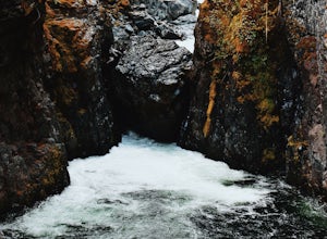
Hike to BC's Englishman River Falls
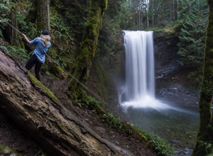
1.9 miSituated amid a quiet forest of both old and new growth Douglas firs, cedar, hemlock, and maple, the Englishman River Falls consist of two waterfalls which cascade into a deep canyon beneath a secluded bridge. Perfect for intermediate hikers, day-trippers, photographers and curious tourists, this...Read more -
Black Creek, British Columbia
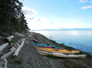
Camp at Seaview Game Farm and Paddle the Strait of Georgia
Seaview Game Farm, located on Vancouver Island between Courtenay and Campbell River is a prime jumping off point to paddle the Strait of Georgia and check out some of the best beaches the coast has to offer. Located right on the beachfront, Seaview offers camping at RV sites but, for the best ex...Read more -
Comox-Strathcona C, British Columbia
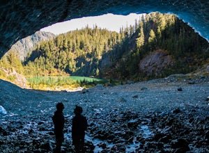
Century Sam Lake
4.03.62 mi / 1342 ft gainThe next time you have the opportunity, I recommend you pay Century Sam Lake a visit. This short day hike complete with a spectacular emerald green lake, towering rock cliffs and summer snow caves make this a 'must do' for mid Island adventurers. This day hike is a well kept secret – and often...Read more -
Comox-Strathcona C, British Columbia
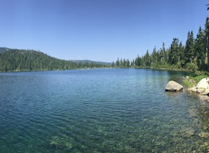
Backpack to Circlet Lake Campground
13.9 mi / 2664 ft gainIf you are looking for a beautiful, stress-free campground nestled in the mountains far from the city but within a morning's drive and a day's walking distance, suitable for the whole family and offers tons of activities, Circlet Lake is the right choice for you. It features an alpine lake that i...Read more -
Comox-Strathcona C, British Columbia
Lake Helen Mackenzie Loop
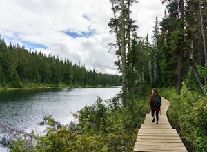
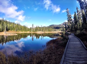
5.05.32 mi / 607 ft gainThe trail head starts at the Raven Lodge parking lot on Nordic Drive. Once at the trail head, follow the trail and turn right on the Hellen Mackenzie/ Battleship Lake trail loop. This boardwalk/ dirt trail will take you around beautiful meadows filled with blueberries (in the fall season), stream...Read more -
Comox-Strathcona C, British Columbia
Centennial Loop Trail in Strathcona Provincial Park
5.01.54 mi / 131 ft gainStrathcona is the oldest provincial park in British Columbia and on their centennial year to celebrate, they built a 2km "every-body" accessible loop trail. It is wheelchair and stroller friendly, with boardwalks and large gravelled trails. If you are looking for a quick hike with a taste of th...Read more -
Comox-Strathcona C, British Columbia
Hike to Cruikshank Canyon Lookout
5.012.4 mi / 2854.3 ft gainTravelling through pristine sub-alpine terrain, and past endless crystal clear lakes, the trail to the lookout is loaded with awesome scenery. The icing on the cake is reaching the Canyon and enjoying lunch at the lookout, complete with Whiskey Jacks and 180 degree mountain and valley views. If...Read more -
Comox-Strathcona C, British Columbia
Hike Mount Albert Edward
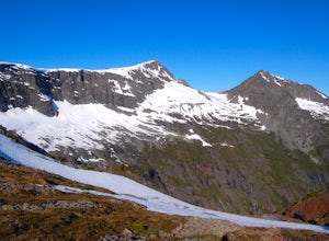
5.019.9 mi / 3280.8 ft gainMount Albert Edward is hard to miss. If you have ever driven up to Mount Washington you will remember the unique profile of this mountain to the west of Raven Lodge. Its long, drawn out scree ridge ends dramatically in a ski jump style peak before falling off into the abyss below. The Grinch hims...Read more -
Comox-Strathcona C, British Columbia
Backpack to Moat Lake
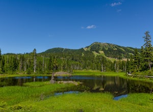
15 mi / 1150 ft gainStarting at the Paradise Meadows Trailhead (3,600'), the trail to Moat Lake takes you through subalpine forest and lush meadows along Strathcona Provincial Park's Forbidden Plateau. The trail is well-marked and easy to follow as it winds past Lake Helen Mackenzie and onward past to the numerous l...Read more -
Nanaimo, British Columbia
Hike to Ammonite Falls
4.82.69 mi / 558 ft gainThe falls cascades off of a sheet of rock that is filled with Ammonite fossils, thus the name Ammonite Falls! The trailhead is very distinct and has a parking lot close to the start of the trail. From the Nanaimo Parkway (#19) head onto Jingle Pot Road. Follow that for a few kilometres and turn ...Read more -
Egmont, British Columbia
Kayak the Miller Islet
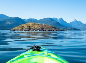
The coast of British Columbia defies description. It is a wonderland of natural treasures both living and geological, and the vast majority of it is only accessible by water or seaplane. The Miller Islet at the entrance to the glacier-carved Jervis Inlet is both a harbor seal and seabird colony a...Read more -
Comox-Strathcona D, British Columbia
Hike to Flower Ridge
20 mi / 5445 ft gainWith a name like Flower Ridge, who wouldn't want to add this hike to their bucket list?The Flower Ridge trailhead is located approximately 26kms down the Buttle Lake Parkway, towards Westmin Mine, in Strathcona Provincial Park. A classic Island alpine approach, you will be more than warmed up af...Read more -
Nanaimo, British Columbia
Catch a Sunset at Sugarloaf Mountain
You can easily put Sugarloaf Mountain Park into your GPS when in Nanaimo, but lets, just say you have an old school map. First make your way from the Island Highway onto Departure Bay Rd. Just before you get to Hammond Bay Rd turn onto Little John Way and take your first left, then take your firs...Read more -
Nanaimo, British Columbia
Scramble Down to Nanaimo's Hidden Cove
Firstly, use google maps to take you to Stephenson Rd in Nanaimo. About a mile down, the road forks, follow the left road (It says no exit, but the road just ends at a property so you will need to turn around to get back out). Continue down the road another half mile or so and you will see a smal...Read more -
Comox-Strathcona D, British Columbia
Exploring Myra Falls
5.00.6 miThese beautiful falls are just a short and easy 500 metre stroll from the parking lot, making this one of the more family-friendly hikes in the area. Located at the end of the trail are the 75 metre cascading falls and spectacular views of Buttle Lake.Located approximately 1 1/2 hours north of th...Read more -
Comox-Strathcona D, British Columbia
Hike through Marble Meadows to the Wheaton Hut
11.8 mi / 4593.2 ft gainThough the Meadows can be reached by an alternate (very long) route not requiring a boat, the standard access is had by crossing Buttle Lake from the Augerpoint Day Area parking lot on the Buttle Lake Parkway (turn south towards the Westmin mine at the Buttle Lake bridge, just before the provinci...Read more

