Golden, British Columbia
Looking for the best photography in Golden? We've got you covered with the top trails, trips, hiking, backpacking, camping and more around Golden. The detailed guides, photos, and reviews are all submitted by the Outbound community.
Top Photography Spots in and near Golden
-
Improvement District No. 9, Alberta
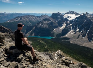
Eiffel Peak
5.07.14 mi / 3917 ft gainTake in stunning alpine views of the famous Valley of the Ten Peaks as you head to Eiffel Peak. A much more unique photo opportunity of Moraine Lake. Views of several prominent glaciers and the gorgeous Paradise Valley. The Eiffel Tower rock formation viewable from the summit. 11km roundtrip. 130...Read more -
Improvement District No. 9, Alberta
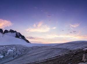
Scramble the Ten Peaks via the Perren Route
A true adventure with lots of route finding, glacier travel, loose rock and high altitude views. This is not for the faint hearted or first timers.From the Moraine Lake parking lot walk down the east side of the lake along the well maintained trail. Towards the end of the lake you will cross the ...Read more -
Improvement District No. 9, Alberta
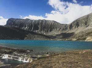
Hike to Hector Lake
5.03.1 miHector Lake is one of the larger lakes in Banff National Park. It is surrounded by the Waputik Range to the west, and offers pristine views of the mountains. Hector Lake is idyllic and peaceful. Most tourists drive past the trailhead on the parkway, which means the hike is not at all busy. An...Read more -
Improvement District No. 9, Alberta
Bike the Icefields Parkway
The Icefields Parkway is a spectacular highway to ride (you can see the short video here). The shoulders are wide and well paved. Drivers are typically courteous, slowing down and giving you space as they pass, making the ride a great deal more enjoyable. Starting in Jasper you load up your bike,...Read more -
Improvement District No. 9, Alberta
Drive the Icefields Parkway
5.0145.45 mi / 6293 ft gainThe Icefields Parkway has been named One of the World's Most Scenic Drives by National Geographic and with all the scenic hikes, stops, and viewpoints, it's easy to see why. Starting at Lake Louise, a friend and I decided to drive up the Icefields Parkway which goes through Banff National Park i...Read more -
Improvement District No. 9, Alberta
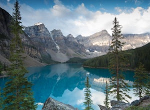
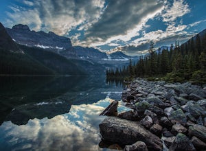
Moraine Lake
4.8Showing up at Moraine Lake before dawn is a must as to avoid the multitude of tours busses. The morning sun is subtle and magical. The lake, being glacially fed, does not reach its crest until mid to late June. When it is full, it reflects a distinct shade of blue. The color is due to the refract...Read more -
East Kootenay G, British Columbia
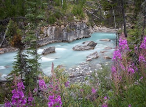
Hiking in Marble Canyon
1.2 miMarble Canyon is easily accessible off of the 93S in Kootenay National Park between Banff and Radium.This is a really beautiful area and a nice easy walk for the family with some beautiful scenery to go along with it. Make a visit here in August when the the Fireweed is at its prime, lining the f...Read more -
East Kootenay G, British Columbia
Hike to Cobalt Lake
5.010 mi / 2400 ft gainYou most likely won't find another person hiking this trail the same day as you, and for good reason; the trailhead is at the end of a 55 km gravel road that begins at British Columbia Highway 95, near the remote town of Spillimacheen. There is helicopter transportation if you are staying at the ...Read more -
East Kootenay G, British Columbia
Climb Bugaboo Spire, NE Ridge
6 mi / 2300 ft gainThe adventure of the Bugaboos starts almost at the highway when you turn off at Brisco. A collection of rough and tumble roads that are only recently signed towards the Bugaboo Provincial Parking Lot are exciting enough... 4WD isn't required, but a car with decent clearance will make the drive mu...Read more -
Improvement District No. 9, Alberta
Hike to Boom Lake
4.06.2 miBoom Lake offers amazing views of Boom Mountain and the ridge separating Alberta and British Columbia. It is not as popular as many other hikes in the area, which means exclusion for anyone willing to explore the lake. The abundant wildlife in the area includes wolves, bears, mountain goats, de...Read more -
Eldon, Alberta
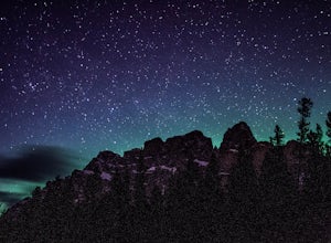
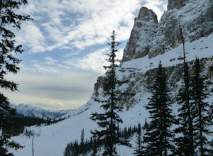
View the Castle Mountain Lookout
Castle mountain, so named for its fortress-like shape, is a quick hop away from the town of Banff. If you don't have time to hike to Rockbound Lake (at the base of Castle), head to the viewpoint just off of Highway 91 and snap some pictures of this epic mountain. Drive north for about 10 minutes...Read more -
East Kootenay G, British Columbia
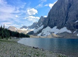
Hike The Floe Lake Trail
13 mi / 2350 ft gainKootenay National Park is one of the lesser visited parks in a chain of spectacular parks in the Canadian Rockies between Banff and Jasper. Straddling the Trans-Canadian Highway, the park offers hot springs, awesome mountain views, and glaciers. As you enter the park, keep an eye out for the griz...Read more -
Columbia-Shuswap, British Columbia
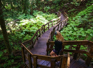
Giant Cedars Boardwalk
0.26 mi / 105 ft gainThe Giant Cedars Boardwalk is a great spot to stop along the Trans Canada Highway #1 and enjoy a short boardwalk trail through giant Cedars, some over 500 years old. The trail has some steps, but several benches along the way making it great for anyone. It's like a stroll through a forest in a...Read more -
Improvement District No. 9, Alberta
Hike to Silverton Falls
1.2 mi / 120 ft gainStarting at the Rockbound Lake trailhead you will want to follow the flat dirt path straight, until you see the junction in the road with the sign pointing you to Silverton Falls (it will be about 500 steps or a quarter of a mile). We made the mistake of taking the first junction which lead us to...Read more -
Improvement District No. 9, Alberta
Snowshoe to Rockbound Lake
3.011 mi / 2460 ft gainThis is an amazing trail, but not for the feint of heart!The trailhead is located on the Bow Valley Parkway (Highway 1A) in Banff National Park, AB at the Castle Mountain sign. The trailhead is marked by an information sign in the north of the parking lot and the trail initially heads north - not...Read more -
Saskatchewan River Crossing, Alberta
Backpack to Michelle Lakes
5.011.2 mi / 7545.9 ft gainTrailhead Owen Creek located by the East Banff National Park Boundary on the David Thompson Highway (#11). There is no sign for Owen Creek so keep you eyes open for a pullout approximately 2kms east of the Banff National Park toll gate. You will find the trail to the right of the creek when facin...Read more

