Golden, British Columbia
Looking for the best hiking in Golden? We've got you covered with the top trails, trips, hiking, backpacking, camping and more around Golden. The detailed guides, photos, and reviews are all submitted by the Outbound community.
Top Hiking Spots in and near Golden
-
Improvement District No. 9, Alberta
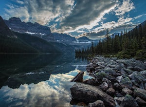
Hike to Boom Lake
4.06.2 miBoom Lake offers amazing views of Boom Mountain and the ridge separating Alberta and British Columbia. It is not as popular as many other hikes in the area, which means exclusion for anyone willing to explore the lake. The abundant wildlife in the area includes wolves, bears, mountain goats, de...Read more -
East Kootenay G, British Columbia
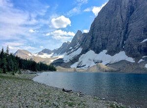
Hike The Floe Lake Trail
13 mi / 2350 ft gainKootenay National Park is one of the lesser visited parks in a chain of spectacular parks in the Canadian Rockies between Banff and Jasper. Straddling the Trans-Canadian Highway, the park offers hot springs, awesome mountain views, and glaciers. As you enter the park, keep an eye out for the griz...Read more -
Columbia-Shuswap, British Columbia
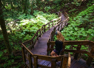
Giant Cedars Boardwalk
0.26 mi / 105 ft gainThe Giant Cedars Boardwalk is a great spot to stop along the Trans Canada Highway #1 and enjoy a short boardwalk trail through giant Cedars, some over 500 years old. The trail has some steps, but several benches along the way making it great for anyone. It's like a stroll through a forest in a...Read more -
Improvement District No. 9, Alberta
Hike to Silverton Falls
1.2 mi / 120 ft gainStarting at the Rockbound Lake trailhead you will want to follow the flat dirt path straight, until you see the junction in the road with the sign pointing you to Silverton Falls (it will be about 500 steps or a quarter of a mile). We made the mistake of taking the first junction which lead us to...Read more -
Improvement District No. 9, Alberta
Snowshoe to Silverton Falls and Rockbound Lake
10.4 mi / 2493.4 ft gainPark at Rockbound Lake Trailhead, 0.2 km east of Castle Junction on Bow Valley Parkway (Highway 1A).The trail wanders through forest until coming to a fork to the right, leading to SilvertonFalls. This is a worthwhile 1 km side trip to a beautiful small waterfall dropping into a turquoise blue po...Read more -
Improvement District No. 9, Alberta
Snowshoe to Rockbound Lake
3.011 mi / 2460 ft gainThis is an amazing trail, but not for the feint of heart!The trailhead is located on the Bow Valley Parkway (Highway 1A) in Banff National Park, AB at the Castle Mountain sign. The trailhead is marked by an information sign in the north of the parking lot and the trail initially heads north - not...Read more -
Saskatchewan River Crossing, Alberta
Backpack to Michelle Lakes
5.011.2 mi / 7545.9 ft gainTrailhead Owen Creek located by the East Banff National Park Boundary on the David Thompson Highway (#11). There is no sign for Owen Creek so keep you eyes open for a pullout approximately 2kms east of the Banff National Park toll gate. You will find the trail to the right of the creek when facin...Read more -
Improvement District No. 9, Alberta
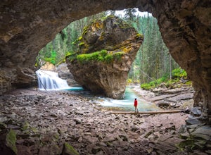
Hike to the Johnston Canyon Cave
4.43.4 mi / 700 ft gainIt’s amazing how much varied scenery you see over the course of the very short 1.7 mile hike. Follow the catwalks through the canyon as the stunning turquoise water flows below. If you’re feeling up for a longer hike, you can continue along the trail to the Ink Pots (makes for a great winter hike...Read more -
Improvement District No. 9, Alberta
Hike to the Ink Pots via Johnston Canyon
3.87.5 mi / 1050 ft gainThe hike through Johnston Canyon to its Upper and Lower falls is one of the most popular hikes to do in Banff - mostly due the little effort required for the great reward.To start, take the Bow Valley Parkway (Highway 1A) - the parking lot and trailhead are clearly marked by a Johnston Canyon sig...Read more -
Improvement District No. 9, Alberta
Hike Johnston Canyon
5.01.6 mi / 393.7 ft gainGetting There: The Canyon is very well marked, but here are directions anyway if you're coming from Banff: Head West on the Trans-Canada Highway for about 5 km or so. Take the Bow Valley Parkway exit, and continue West for another 18km - you'll then see signs to your right for Johnston Canyon. Th...Read more

