Golden, British Columbia
Looking for the best chillin in Golden? We've got you covered with the top trails, trips, hiking, backpacking, camping and more around Golden. The detailed guides, photos, and reviews are all submitted by the Outbound community.
Top Chillin Spots in and near Golden
-
Improvement District No. 9, Alberta
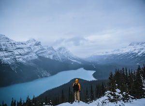
Drive the Icefields Parkway
5.0145.45 mi / 6293 ft gainThe Icefields Parkway has been named One of the World's Most Scenic Drives by National Geographic and with all the scenic hikes, stops, and viewpoints, it's easy to see why. Starting at Lake Louise, a friend and I decided to drive up the Icefields Parkway which goes through Banff National Park i...Read more -
Eldon, Alberta
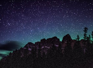
View the Castle Mountain Lookout
Castle mountain, so named for its fortress-like shape, is a quick hop away from the town of Banff. If you don't have time to hike to Rockbound Lake (at the base of Castle), head to the viewpoint just off of Highway 91 and snap some pictures of this epic mountain. Drive north for about 10 minutes...Read more -
Columbia-Shuswap, British Columbia
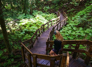
Giant Cedars Boardwalk
0.26 mi / 105 ft gainThe Giant Cedars Boardwalk is a great spot to stop along the Trans Canada Highway #1 and enjoy a short boardwalk trail through giant Cedars, some over 500 years old. The trail has some steps, but several benches along the way making it great for anyone. It's like a stroll through a forest in a...Read more -
Improvement District No. 9, Alberta
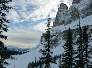
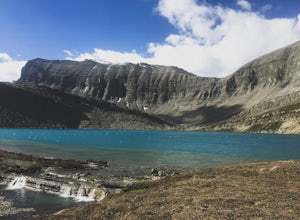
Snowshoe to Rockbound Lake
3.011 mi / 2460 ft gainThis is an amazing trail, but not for the feint of heart!The trailhead is located on the Bow Valley Parkway (Highway 1A) in Banff National Park, AB at the Castle Mountain sign. The trailhead is marked by an information sign in the north of the parking lot and the trail initially heads north - not...Read more -
Saskatchewan River Crossing, Alberta
Backpack to Michelle Lakes
5.011.2 mi / 7545.9 ft gainTrailhead Owen Creek located by the East Banff National Park Boundary on the David Thompson Highway (#11). There is no sign for Owen Creek so keep you eyes open for a pullout approximately 2kms east of the Banff National Park toll gate. You will find the trail to the right of the creek when facin...Read more -
Improvement District No. 9, Alberta
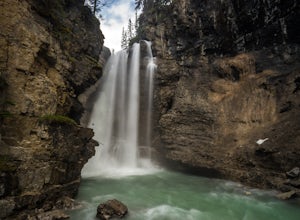
Hike Johnston Canyon
5.01.6 mi / 393.7 ft gainGetting There: The Canyon is very well marked, but here are directions anyway if you're coming from Banff: Head West on the Trans-Canada Highway for about 5 km or so. Take the Bow Valley Parkway exit, and continue West for another 18km - you'll then see signs to your right for Johnston Canyon. Th...Read more

