Fraser Valley F, British Columbia
Top Spots in and near Fraser Valley F
-
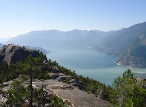
Sea to Sky Gondola, British Columbia
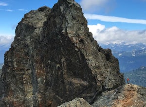
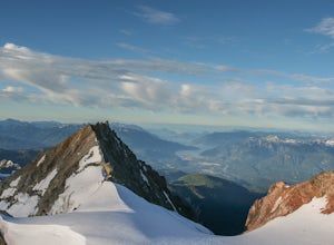
Sky Pilot Mountain is the highest peak past Stawamus Chief, Squamish's famous vertical rock face. Luckily, the rock just beyond the Chief is just as beautiful and reliable for climbers, hikers, and scramblers looking to stretch their legs and challenge their vertigo limits on an exposed, thrillin...
Read more
-
Britannia Beach, British Columbia
4.5
6.8 mi
/ 1968.5 ft gain
If you are hiking this spot, you can do so even as a beginner so long as you have a good fitness level. I’ve seen people do this in jeans and dress shoes, although they are crazy. Wear some hikers and prepare to get your sweat on.
There are three peaks, first is the most popular, second has the b...
Read more
-
Britannia Beach, British Columbia
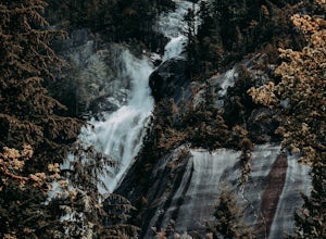
Towering above Howe Sound in Squamish, British Columbia, at 335 meters, Shannon Falls is BC's third largest waterfall, with two hiking loops for both beginner and intermediate hikers.
The first of the two trails is approximately 350 meters in length and allows for a birds-eye view of the Falls, ...
Read more
-
North Vancouver, British Columbia
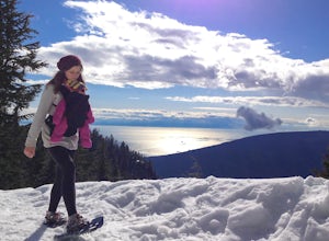
A 25 minute drive outside of Vancouver, Grouse Mountain is a great escape from the city for a myriad of winter activities. If you can swallow the pricey ticket for the gondola ride and accompanying activities at the top, you’ll be welcomed by spectacular views with relatively little effort. Whet...
Read more
-
North Vancouver, British Columbia
5.0
6.1 mi
/ 1263.1 ft gain
You can take the gondola up Grouse Mountain and then hike from there which roughly takes around 5 hrs at a decent pace. The hike is a hard one that is a lot of up and down and a fair bit of climbing.You can start at the top of the Skyride on Grouse Mountain, follow the paved path to the grizzly b...
Read more
-
Squamish, British Columbia
3.7
6.24 mi
/ 3714 ft gain
This adventure is one of the best kept secrets in the Whistler area, let alone, British Columbia. The trailhead for Lake Lovely Water is located on the west side of the Squamish River. There is no road access to the trailhead so you need to cross the river via boat. Make reservations with the jet...
Read more
-
Squamish, British Columbia
Alice Lake Provincial Park is located just North of Squamish. To get here, exit right off Highway 99 when coming from the South onto Alice Lake Rd. The campground is located under 5 minutes up the road and is first come first serve during low season. From late Spring to Early fall, make sure y...
Read more
-
North Vancouver, British Columbia
Once you park in the parking lot near the dam, its fairly easy to tell where it is, and how to get there.
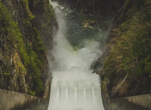
The awesome spillway looks like one of the worlds most dangerous slides, (don't slide down it), and Capilano Lake and the peaks of the Lions make for a great backdrop in North Vancouver.
Ph...
Read more
-
Squamish-Lillooet, British Columbia
Duration: 2 DaysClosed Gate (described below): 49.831834, -123.088424Camp Ground: 49.855926, -123.016797
Driving north from Vancouver along the Sea to Sky Highway (HWY 99) pass through Squamish. Turn right on to Cat Lake Road (Cheekye FSR).49°48’52.6”N 123°07’25.5”W
From here the route becomes ...
Read more
-
North Vancouver, British Columbia
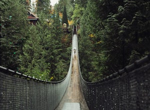
This is a great place to visit to get a feeling for the outdoors of Canada. The bridge is a little scary when a lot of people are walking across, but it is well worth the look.Measuring 140 m (460 ft) long, the bridge crosses over the Capilano River in the District of North Vancouver, British Col...
Read more
-
Britannia Beach, British Columbia
From the Britannia Beach parking lot walk north. There is a well established trail along the West side of the highway. Walk roughly 400 metres North and you will find a steep trail leading towards the ocean. You'll quickly come to a small boulder field, cross cautiously and follow the cairns. Fr...
Read more
-
West Vancouver, British Columbia
The directions to get to this location are a bit scattered as you need to weave through the upper streets of the British Properties.
Driving Instructions If you are coming along Highway #1, take the Taylor Way exit and turn right (coming from the east) or left (coming from the west) onto Taylor W...
Read more
-
Squamish, British Columbia
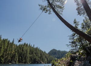
This lake is popular with the locals for a reason - it's right off the highway and has lots to offer. There are a few 40+ foot cliffs on the east side, and some smaller ones if you're not feeling that adventurous, as well as a rope swing on the west side of the lake. It only takes about 15 minute...
Read more
-
Squamish-Lillooet D, British Columbia
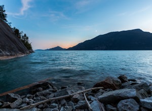
Porteau Cove Provincial Park is located 38 km outside of Vancouver just off the Sea-to-Sky highway between Lion’s Bay and Squamish. The park is open year-round for day visits and camping.
Porteau Cove Provincial Park is located in the most southerly fjord in North America. The park overlooks Ho...
Read more
-
Squamish-Lillooet D, British Columbia
3.0
7.5 mi
/ 3280.8 ft gain
Begin the Deeks Lake trail at the Lions Bay parking lot (same entrance as the Howe Sound Crest Trail) just off of Highway 99 North. The pullout is right before Porteau Cove Provincial Park.
Begin by walking past the yellow gate and taking an immediate right into the trail where you will begin y...
Read more
-
Lions Bay, British Columbia
5.0
8.75 mi
/ 5100 ft gain
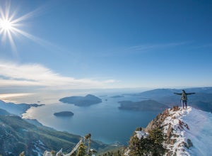
Driving north from Vancouver along the Sea to Sky Highway (HWY 99) turn off at Lions Bay exit and park at the end of Sunset Dr.N 49.470653225392105, -123.23479324579239 WThe trail begins on a gravel service road which winds up for 30 minutes. Take a left at the fork where a sign on the tree reads...
Read more

