Fraser Valley F, British Columbia
Looking for the best hiking in Fraser Valley F? We've got you covered with the top trails, trips, hiking, backpacking, camping and more around Fraser Valley F. The detailed guides, photos, and reviews are all submitted by the Outbound community.
Top Hiking Spots in and near Fraser Valley F
-
Whistler, British Columbia
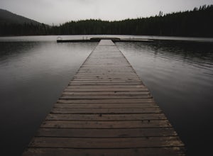
Hiking the Lost Lake
3.0The 6 km (3.7 mile) hike takes you to and around Lost Lake. Lost Lake is at the heart of the densely forested Lost Lake Park. The wide gravel trail runs around this charming lake through a enjoyable forest draped in old man's beard lichen (usnea).Lost Lake is a small lake just north of Whistler V...Read more -
Whistler, British Columbia
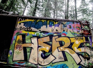
Hike to the Whistler Train Wreck
4.33.1 mi / 50 ft gainThe hike to the train wreck in Whistler changed significantly on September 1st, 2016. The town of whistler installed a suspension bridge over the Cheakamus river, allowing hikers to access the site from the whistler athletes centre, down a well maintained path. There are two options to get to the...Read more -
Whistler, British Columbia
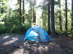
Camp at Cal-Cheak
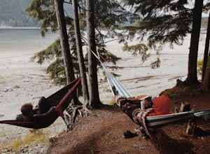
4.7Where the beautiful Callaghan and Cheakamus Rivers converge, there is a great campsite aptly named after these two turquoise rivers. This is a quiet area, shaded by huge stands of West Coast forest, and easily accessible from HWY 99, about 20 minutes south of Whistler Village.Hiking and mountain ...Read more -
Bowen Island, British Columbia
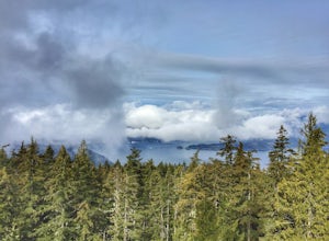
Hike Mount Gardner on Bowen Island
10.6 mi / 2358.9 ft gainMount Gardner is the highest point on Bowen Island. I love visiting Bowen. It is a 20 minute ferry ride from Horseshoe Bay but feels a world’s away from the city. I climbed to the top of Mount Gardner a few years ago during the summer, but had yet to do it in the winter. I was excited to see wha...Read more -
Whistler, British Columbia
Snowshoe the Rainbow Lake Loop
6 mi / 400 ft gainIn Whistler Village, stop by the information booth and get one of the maps that has the mountain bike paths on it. This will be your map of all the different snowshoeing options in the area, and any of the trails are sure to take you on a fun adventure.From Whistler Village make your way to Rainb...Read more -
Chilliwack, British Columbia
Hike to Elk Mountain
4.74.3 mi / 2624.7 ft gainElk Mountain is one of the not so hidden-hidden gems in Chilliwack, BC. Clocking in at around 4 hours return it is an easy day hike offering beautiful views of the Fraser Valley and surrounding mountains. Reaching around 1500m in only 3.5 km, this trail is steep, but beautiful forest and mountain...Read more -
Squamish-Lillooet D, British Columbia
Hike to Crooked Falls
4.04 mi / 1400 ft gainThe trail to Crooked Falls starts at the Sigurd Creek Trail. The coordinates are: N49.910556, W-123.322817. It is a scenic dive just past the Squamish city center and the Squamish River. Once at the trail head you'll walk across a bridge over Sigurd Creek and follow the logging road for a couple...Read more -
Whistler, British Columbia
Hike to Rainbow Lake
5.09.9 mi / 2788.7 ft gainWith a low elevation to start you'll be greeted with a mossy canopy of luscious wilderness. As you venture deeper through the trail you can notice the wilderness progress to a sub-alpine climate and here you'll be pleasantly surprised by snow tipped pines & surroundings. The Rainbow Trail is ...Read more -
Whistler, British Columbia
Hiking to Wedgemount Lake
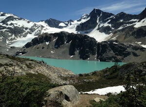
5.08.7 mi / 1160 ft gainJust a little ways past Whistler BC Canada, you'll find a steep mountain trail leading to one of the true gems of Garibaldi Provincial Park and the Sea to Sky area: Wedgemount Lake. This is the stuff dreams are made of.The route ascends 7km through beautiful old growth forest, and as you crest th...Read more -
Whistler, British Columbia
Hike to High Falls Creek, BC
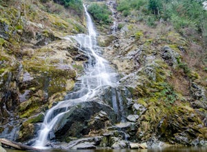
5.05.3 mi / 1719.2 ft gainThis is a great hike with varied terrain. From a flat meandering path to steep, scramble sections with chains and braided ropes. The must-see attraction on this trail is the thunder force of tumbling water heard throughout the day as you hike along a steep walled canyon.You have the option of par...Read more -
Fraser Valley E, British Columbia
Hike Mount Cheam
5.0Even at the parking lot, there is a stunning view of Lady Peak and Mount Cheam. Walk towards the big pile of logs and towards the old logging road. You will also see an outhouse – this will be your one and only time to use a toilet, so go now. The road continues for about 15 min. before reaching ...Read more -
Hope, British Columbia
Hike to Flood Falls, British Columbia
5.00.6 mi / 262.5 ft gainYou can see the waterfall up high cascading down to the ground from where you park. Once you get to the trailhead and park on the side of the road, follow the trail toward the waterfall. The trail is a bit rough in spots with lots of roots, so be careful where you step. On the way to the falls, t...Read more -
Fraser Valley D, British Columbia
Camp at Jones Lake
3.0Southwest of Hope and just east of Chilliwack, Jones Lake is a recreation site at a reservoir lake in the coastal mountain range, managed by BC Hydro. Set below granite mountain peaks and surrounded by a dense forest (that is unfortunately being logged), this lake isn't pristine, but it sure is p...Read more -
Whistler, British Columbia
Visit the Ancient Cedars
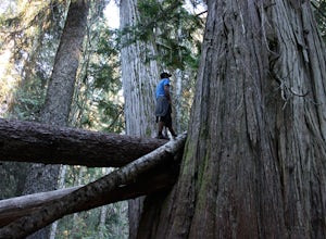
The Sea to Sky area is covered in old growth forest, but few people would expect to find trees of this size in Whistler. The Ancient Cedars Trail is a beautiful hike through breezy sunny forest to a little hidden grove of giant trees, tucked into the side of Cougar Mountain.If you're looking for ...Read more -
Yale, British Columbia
Visit Alexandra Bridge Provincial Park
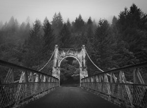
5.00.6 miThe Alexandra Bridge Provincial Park is 136 acres dedicated to the original Cariboo Wagon Road Bridge over the Fraser River. It was originally established in 1984 and until the first European visit by Simon Fraser, remained inhabited by First Nations. The bridge was constructed in 1861 shortly af...Read more -
Pemberton, British Columbia
Mt. Currie Trail
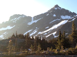
13 mi / 7867 ft gainMt Currie is the giant mountain that sits above the village of Pemberton BC. It soars 7800 vertical feet from the valley floor to the summit in sheer cliffs. (The mountain itself is 8517ft high.) Before 2014, the only way to reach the summit was to bushwack the entire 7800ft climb (we did this t...Read more

